Overview
|
A winter storm will move away from the area tonight with freezing drizzle changing to light snow from west to east. A minor glaze of ice is possible through around midnight across eastern Wisconsin. The combination of freezing drizzle and snow will create some hazardous road conditions tonight. Remember to take it slow in ice and snow!
Please click on the tabs below for more information. Click on any image for a larger view. |
Temperature / Snowfall Forecasts
Temperature Forecasts
 |
 |
 |
|
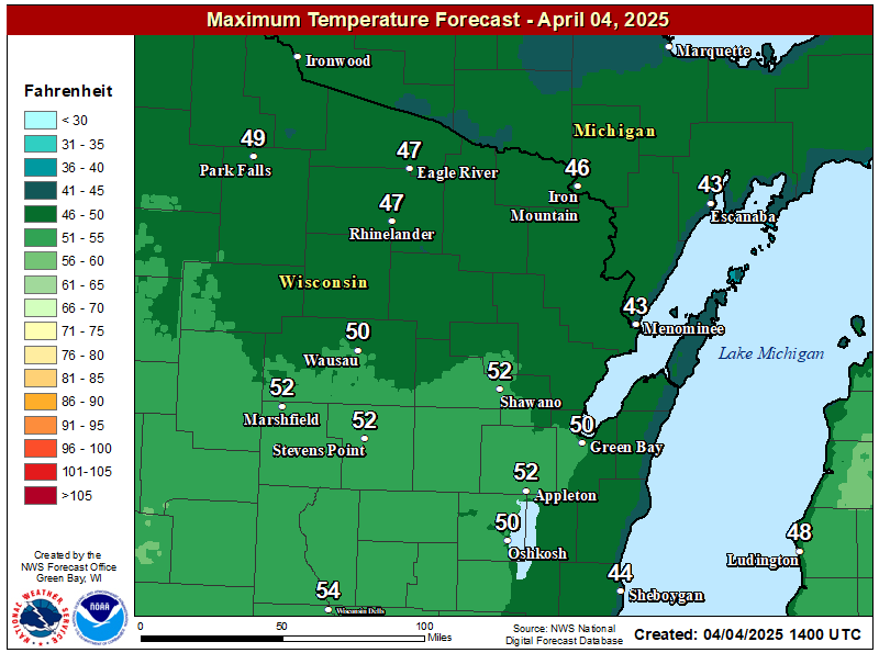
| High Temperature Forecast For Saturday | High Temperature Forecast For Sunday | High Temperature Forecast For Monday | |
 |
 |
||
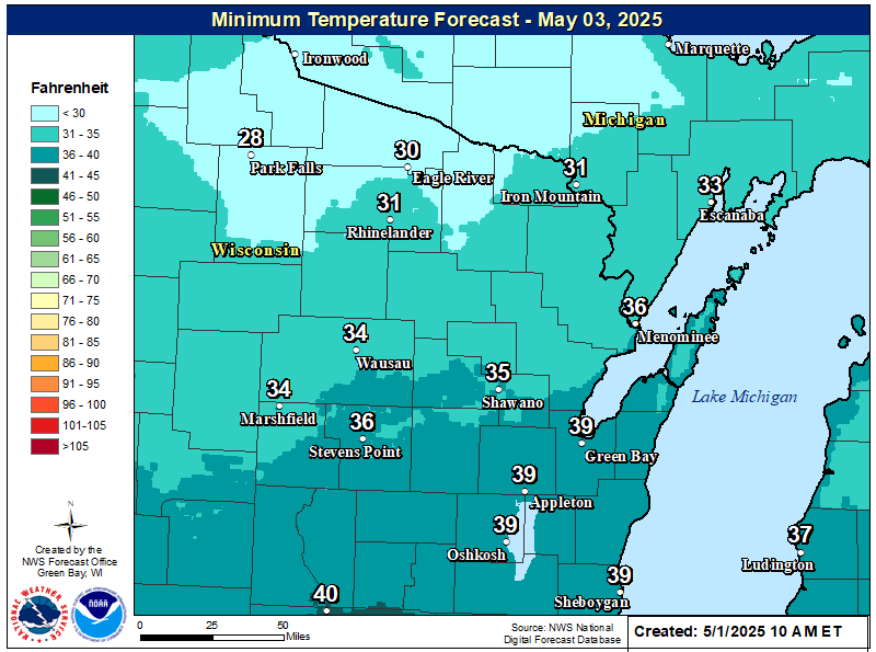
| Low Temperature Forecast For Tonight | Low Temperature Forecast For Saturday Night |
Additional Snow Forecast
 |
||
|
Additional Snow Forecast 6pm Tonight - Saturday AM |
||
Current Weather
 |
 |
||
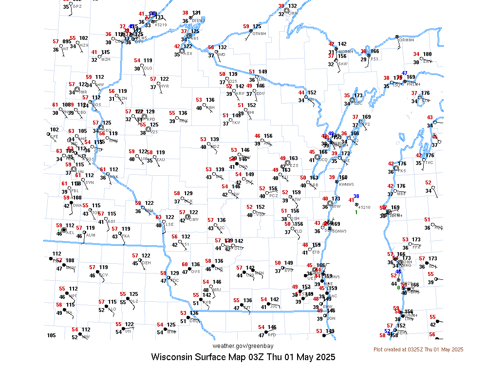
| Current Headlines | Current Surface Observations | ||
 |
 |
||
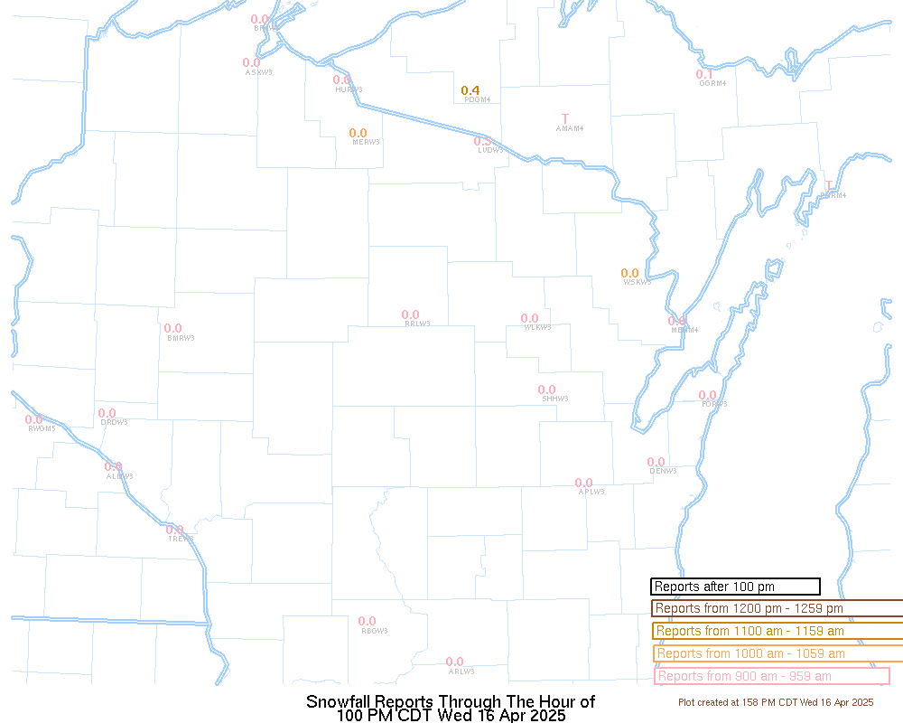
| Current Latest Snow Reports | Wisconsin Road Conditions |
Radar
 |
|
|
|
|
 |
|
|
"Forecast Radar" |
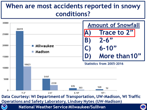
Weather Safety Information
|
|
|
|
|
.png) |
 |
 |
|
|
|
|
 |
Media use of NWS Web News Stories is encouraged! Please acknowledge the NWS as the source of any news information accessed from this site. |
|


