Republican River Flood of May 30, 1935
This website is dedicated to preserving the history of the Republican River Flood of 1935.
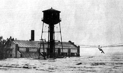
Fresh water moving at about 4 mph exerts a force of approximately 66 pounds per foot on anything it encounters. Double the speed of the water to 8 mph and the force increases to 264 pounds per foot, enough energy to sweep a car off a road. Disaster Medicine by David E. Hogan, Jonathan L. Burstein (Editors) – page 218
Where did the rain fall to create this flood?
How rainfall was measured? Since most of the rain didn't fall near the official cooperative weather observer's rain gages, a bucket survey was conducted to find the rainfall distribution. Below are the gage stations mapped and listed that were used to create the rainfall map by Follansbee & Spiegel.
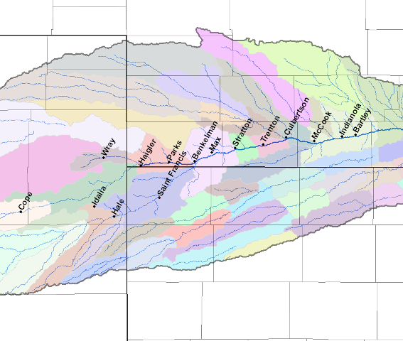
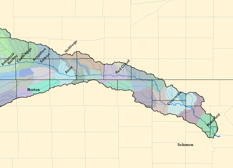
A Closer Look at Impacted Communities Below is a map of towns that we have taken a closer look at. Click on each town to learn more about how the flood impacted the community.
Map of when the flood impacted towns along the river Times are given on the map below to indicate when the flood started to impact that town. The flood started in Eastern Colorado near Cope around 3 a.m. on May 31, 1935 after intense rainfall the day before. The flood impacted Oxford, Nebraska by 4 a.m. on June 1st; Superior, Nebraska by 1 a.m. on June 2nd; and Clay Center, Kansas by 2 a.m. on June 3rd.
From Follansbee & Spiegel, 1937, the water traveled from 2.7 mph to 10.7 mph depending on the terrain. The following table shows the different speeds the water traveled from town to town.
Flood Inundation Maps In the Educational Circular 16; published by Conservation and Survey Division, Institute of Agriculture and Natural Resources, University of Nebraska-Lincoln in 2002 by R. F. Diffendal et al. titled Field Guide to the Geology of the Harlan County Lake Area, Harlan County, Nebraska - with a History of Events Leading to the Construction of Harlan County Dam, a map of the inundated area during the 1935 flood was presented and is shown below.
River Crest Data There were six river gage stations along the Republican River Basin from Colorado to McCook. Click on the marker to see a graph of the river stages from May 18 - June 3, 1935 for that location. 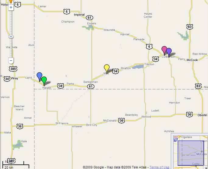
How does this flood compare to normal river flows? Below are graphs from the river gages that show the peak streamflow for each year from times listed below the graph. The date of the peak, gage height, and stream flow are listed. Click on each graph to enlarge.
For more information about Republican River Flood History from the USBR click here. |