
Thunderstorms, some severe, may produce heavy to excessive rainfall and isolated flooding over portions of the Southern Plains today and Saturday. Dry conditions, combined with gusty winds and low relative humidities will continue to support an elevated to critical fire weather threat in the Desert Southwest into to early next week. Read More >
|
Current Conditions and Seven Day Forecast |
||
| Current Conditions | Forecast | Severe Weather | Hydrology/Rivers | Winter Weather | Fire Weather | Safety |
|
Forecast Snowfall Amounts for the Next Two Days  |
|
Use the slider bar below to view forecast snowfall in 6 hour increments. The map will update automatically. Use your mouse to zoom into/pan around on the map.
Click each image composite for more information.
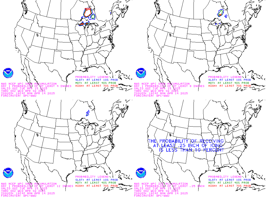 Day 1 |
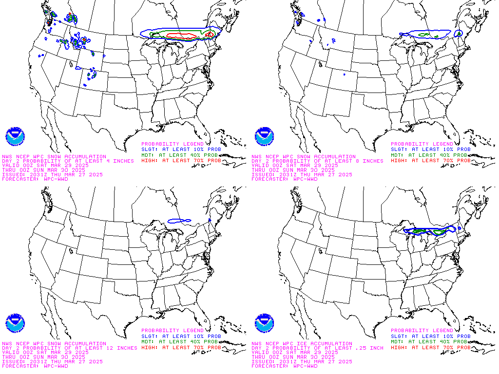 Day 2 |
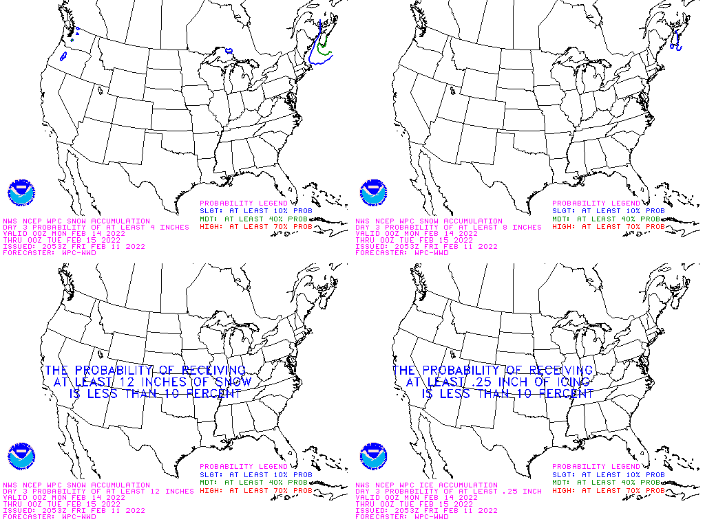 Day 3 |
View an Interactive Snow and Ice Probabilistic Forecast Map
 Upper Midwest Radar Loop |
 Central Iowa Radar Loop |
 Upper Midwest Visible Satellite Image (Loop) |
 Upper Midwest Infrared Satellite Image (Loop) |
Note: Webcams are provided through third parties and may not always be up to date. Please check the time stamp on each image to ensure the image is current.
 Algona |
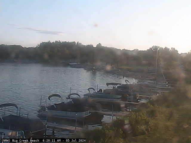 Big Creek Beach |
 Big Creek Marina |
 Cedar Falls |
 Creston |
 Fort Dodge |
 ISU Ag Farm |
 ISU Ames |
 Jefferson |
 Knoxville |
 Madrid |
 Panora |
 Parkersburg |
 Pella |
 Rathbun Lake |
 Rockwell City |
 Stuart |
 Tama |
 Waverly |
 Winterset |
 |
|
||||||