Thunderstorms, some severe, may produce heavy to excessive rainfall and isolated flooding over portions of the Southern Plains today and Saturday. Dry conditions, combined with gusty winds and low relative humidities will continue to support an elevated to critical fire weather threat in the Desert Southwest into to early next week. Read More >
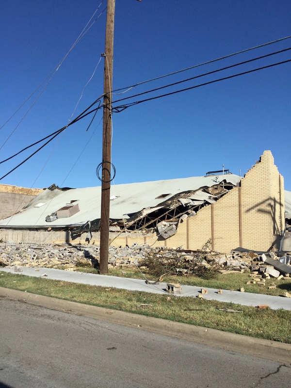
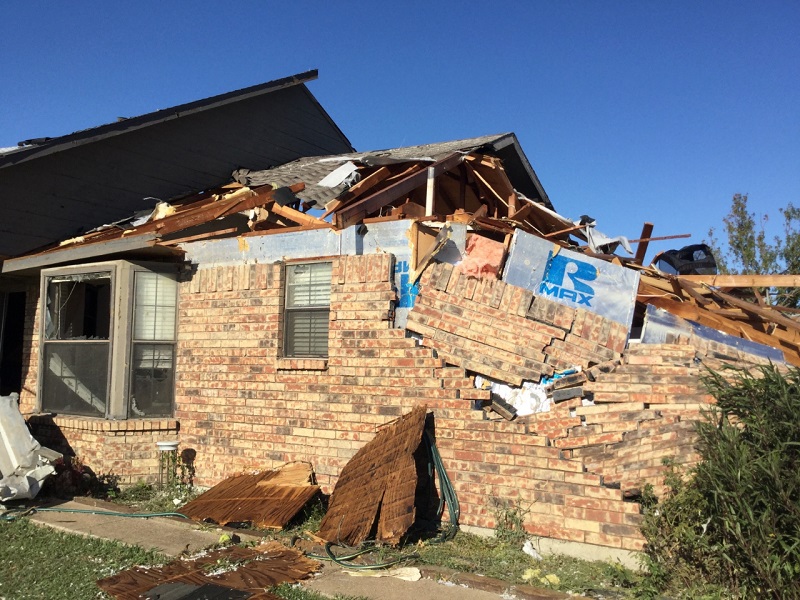
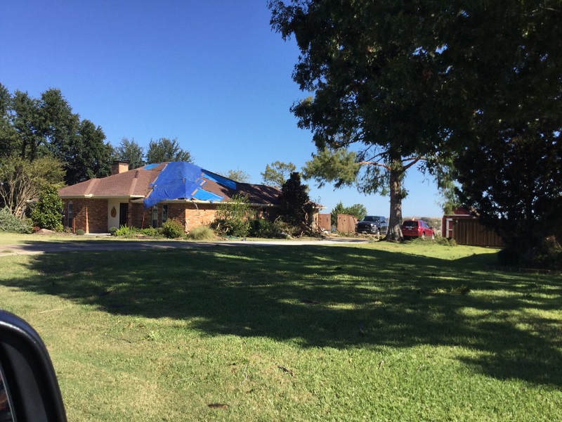
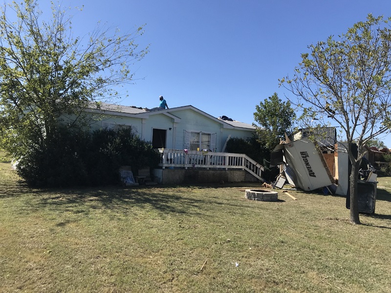
The initial tornado damage in Dallas was observed near I-35E and Walnut Hill. The damage path continued east between Walnut Hill and Royal Lane, through Preston Hollow to near North Central Expressway (US 75) and Forest Lane. Additional tornado damage was observed near the intersection of Audelia Road and Buckingham Road in Richardson. The strongest damage was rated EF3 with winds near 140 mph. Coppedge Lane - Uprooted Tree Hillcrest Road - Home Roof Damage North Haven Home - Wall Collapse North Haven Home - Roof Damage Royal Lane Fire Station Royal Lane Home - Roof Damage Royal Lane Home - Roof Damage Walnut Hill/Shady Trail Strip Mall Walnut Hill - Large Retail Building Walnut Hill - Small Retail Building Walnut Hill - Apartments Walnut Hill - Small Professional Building The National Weather Service found EF1 tornado damage on Hickox Road (Rowlett) near the President George Bush Turnpike and on Eastview Drive (Sachse). Wind speeds were estimated at 100 mph. Additional tornado damage was observed on Larkin Lane in Rowlett, elsehwere in the Pleasant Valley area of Sachse, and on Elm Grove Lane in Wylie. Straight-line wind damage was found in Rockwall. A National Weather Service survey found EF0 tornado damage along CR 3849 north of Wills Point (Van Zandt County). Wind speeds were estimated to be 80 mph. Damage was reported in Midlothian, Oak Leaf, and Ferris. Details will be added as they become available. Wind Damage Near Baxter Elementary Westmoreland and Lariat Circle in Oak Leaf
North Dallas and Richardson
Rowlett/Sachse/Wylie
Van Zandt County
Ellis County


