|
|
 Day 1 Fire Weather Outlook |
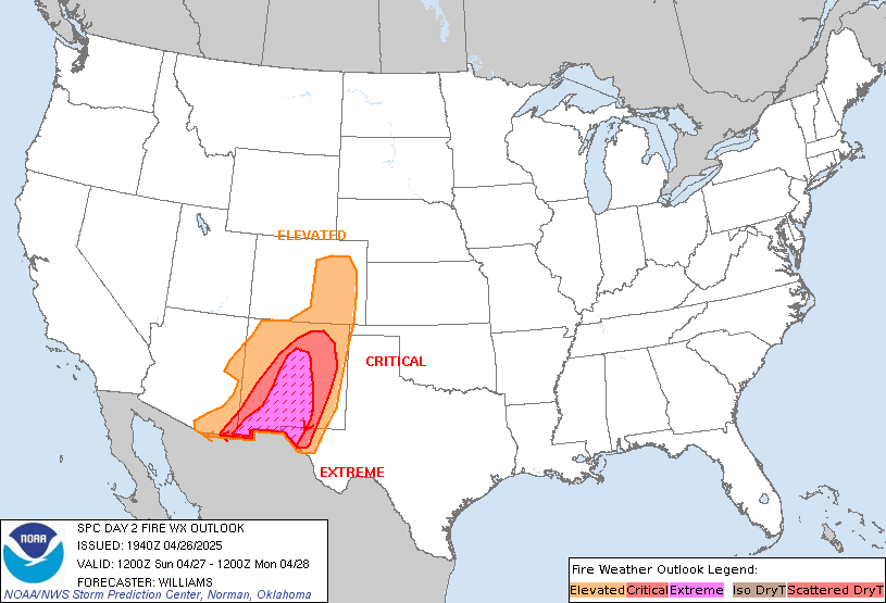
 Day 2 Fire Weather Outlook |
| SPC Risk Categories | |
Other Observations and Forecasts |
||
|
Observations
|
24 Hour Forecasts
|
Greenness
|
| Precipitation |  Click picture for enlargement |
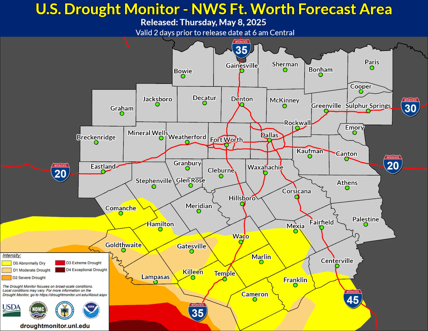
Soil Conditions |
| - Precipitation Time Series | - Drought Severity Index (by division) | |
| - Current and Anticipated Precipitation Anomalies over the U.S. | - Soil Moisture | |
| - Experimental 0-3 Hour Convective Weather Forecast Products | - Soil Moisture Anomaly (SMA) | |
| - SMA animated loop | ||
| - 6 to 10 Day Precipitation Forecast | - Soil Moisture Percentile | |
| - Soil Wetness | ||
| - 30/90 Day Precipitation & Temp Outlook | - Crop Moisture Index (by division) | |
| - SMA Change in next 2 weeks | ||
|
|
|
|
Fire Related Weather Indices |
||||
| Keetch-Byram Drought Index (Nat'l) | Keetch-Byram (Texas-.png format) |
Palmer Drought Index | Haines Forecast Stability | Tomorrow's Fire Danger |
|
Additional fire weather information for the state of Texas can be found at the |
||||
Dead Fuel Moisture Maps |
||
| 10-Hour, 1/2" Fuels | 100-Hour, 1-3" Fuels | 1000-Hour, 3-6" Fuels |
|
|
||