Last Map Update: Mon, Mar 31, 2025 at 4:18:23 am EDT

| Weather Hazards | Weather Forecasts | Past Weather | Power Page |
Current Weather Observations... | |||||||||||||||||||||||||||||||||||||||||||||||||||||||||||||||||||||||||||||||||||||||||||||||||||||||||||||||||||||||||||||||||||||||||||||||||||||||||||||||||||||||||||||||||||||||||||||||
|
|
|
 |
 |
 |
 |
 |
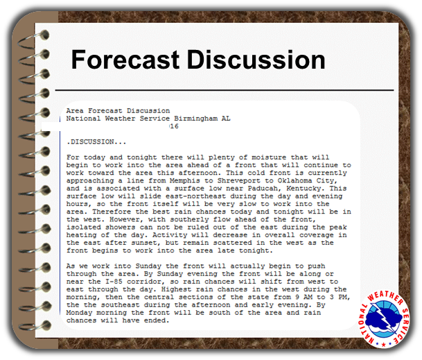
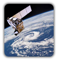
| Observations | Discussion | Satellite | Climate | Storm Reports |
 |
 |
 |
 |
 |
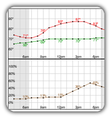
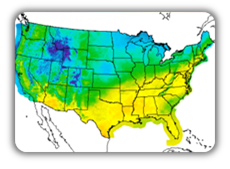
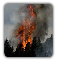
| Hourly Forecasts | Gridded Forecast | Fire Weather | Hydrology | Aviation |
 |
 |
 |
 |
 |
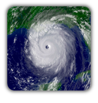
| Tropical | Drought Information | Wx Radio | SKYWARN | Past Events |


 KFFC Radar
 Weather Map
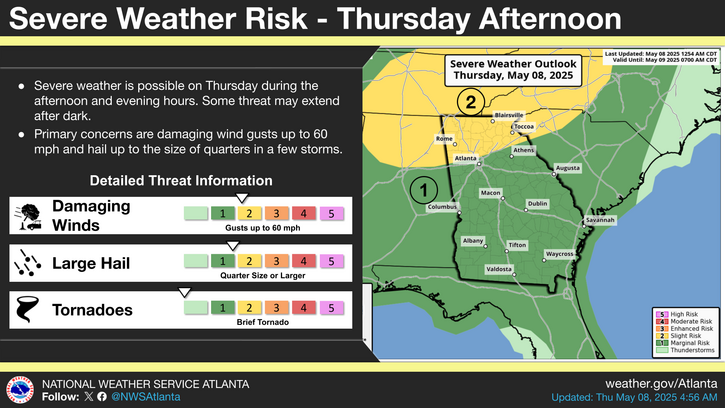
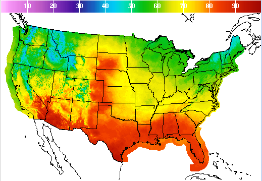 Graphical Forecasts