| Previous Month | Next Month |
Temperatures through the month of August were within an inch of normal. Precipitation through the month of May was also within an inch of normal.
|
Month 2022 Monthly Rankings
|
||||
|
Climate Site |
Temperatures |
Precipitation |
||
|
Athens
|
36th Coolest
|
34th Driest
|
||
|
Atlanta
|
33rd Warmest
|
10th Wettest
|
||
|
Columbus
|
35th Coolest
|
22nd Wettest
|
||
|
Macon
|
33rd Coolest
|
9th Wettest
|
||
|
Aug 2022 Climate Averages
|
|||
|
Climate Site
|
Aug Temp (°F)
|
Average Temp
|
Departure from normal
|
|
78.7
|
79.8
|
-1.1
|
|
|
79.5
|
80.2
|
-0.7
|
|
|
80.9
|
82.4
|
-1.5
|
|
|
80.9
|
81.4
|
-0.5
|
|
|
79.0
|
78.1
|
0.9
|
|
|
78.2
|
78.6
|
-0.4
|
|
|
79.0
|
79.3
|
-0.3
|
|
|
78.5
|
77.9
|
0.6
|
|
|
80.0
|
79.8
|
0.2
|
|
|
80.1
|
79.5
|
0.6
|
|
|
Aug 2022 Temperature Climate Statistics
|
||||
|
Climate Site |
Maximum Temperature |
Max T Date |
Minimum Temperature
|
Min T Date
|
|
Athens
|
93
|
8/2, 31
|
65
|
8/14
|
|
Atlanta
|
92
|
8/2
|
67
|
8/14
|
|
Columbus
|
96
|
8/1
|
70
|
8/13, 14, 15
|
|
Macon
|
96
|
8/3
|
67
|
8/14
|
|
Cartersville
|
93
|
8/5, 28
|
66
|
8/14, 31
|
|
Dekalb Peachtree Arpt
|
91
|
8/2, 28
|
65
|
8/14
|
|
Fulton Co Arpt
|
92
|
8/5
|
66
|
8/14, 31
|
|
Gainesville
|
93
|
8/2, 6
|
66
|
8/14
|
|
Peachtree City
|
94
|
8/4, 5, 6
|
67
|
8/14
|
|
Rome
|
94
|
8/6
|
68
|
8/14, 16, 18, 31
|
|
Aug 2022 Precipitation Climate Statistics
|
|||
|
Climate Site |
Total Precipitation |
Average Precipitation
|
DFN (Departure From Normal)
|
|
3.18
|
4.55
|
-1.37
|
|
|
6.79
|
4.30
|
2.49
|
|
|
5.12
|
4.68
|
0.44
|
|
|
6.35
|
4.38
|
1.97
|
|
|
2.92
|
3.44
|
-0.52
|
|
|
5.04
|
4.51
|
0.53
|
|
|
2.41
|
3.98
|
-1.57
|
|
|
4.43
|
4.73
|
-0.30
|
|
|
3.90
|
3.96
|
-0.06
|
|
|
3.20
|
3.77
|
-0.57
|
|
|
Aug 2022 Precipitation Climate Statistics
|
||||
|
Climate Site |
Maximum Daily Precip (in inches) |
Max P Date |
||
|
Athens
|
0.64
|
8/3
|
||
|
Atlanta
|
1.20
|
8/6
|
||
|
Columbus
|
1.47
|
8/18
|
||
|
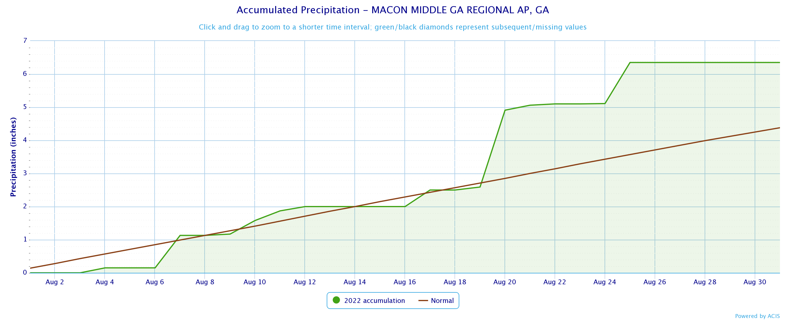
Macon
|
2.32*
|
8/20
|
||
|
Cartersville
|
0.72
|
8/9
|
||
|
Dekalb Peachtree Arpt
|
1.17
|
8/6
|
||
|
Fulton Co Arpt
|
0.68
|
8/6
|
||
|
Gainesville
|
1.23
|
8/6
|
||
|
Peachtree City
|
1.01
|
8/25
|
||
|
Rome
|
0.89
|
8/22
|
||
*Indicates a daily record was set
Data prepared by NWS Peachtree City/Atlanta
| Temperature Maps | Precipitation Maps |
| Temperature Graphs | Precipitation Graphs |


|
Aug 2022 Climate Records
|
|||
|
Date
|
Type
|
Location
|
Records set over a 24 hour period
|
|
8/20
|
Daily Rainfall
|
Macon |
2.32 Inches of rain fell over 24 hours. This breaks the old record of 1.69 inches set in 1967.
|
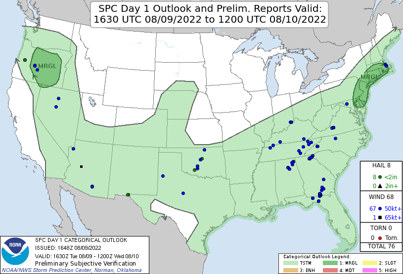
Aug 9th NE Georgia
Aug 9th: Diurnal convection became a little more organized in areas of NE Georgia has the sea breeze interacted with some down slope winds from the Georgia Mountains. A few instances of damaging winds caused some tree damage, mostly across portions of White county.
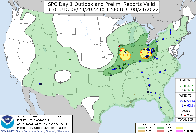
Aug 19-20th SE Georgia
Aug 19th: A weak baroclinic zone across the region with a weak low pressure center located on the Atlantic coast created an isolated corridor of enhanced low-level shear. Diurnally driven storms were able to tap into that corridor to form a few multicell cold pool driven clusters that caused a number of locally damaging wind gusts in the subsequent microbursts.
Based on the Climate Prediction Center's outlook for September, western Georgia has an equal chance for above or below normal temperatures while the remainder of Georgia has a 40% to 50% chance for above normal temperatures. For precipitation, far northern Georgia has an equal chance for above or below normal precipitation, while the rest of Georgia has a 33%-50% chance for above normal precipitation.


Data prepared by NWS Peachtree City/Atlanta

