North Georgia Winter Storm
January 6 - 7, 2017
Event Summary
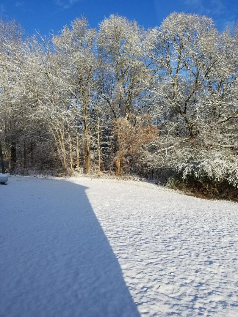
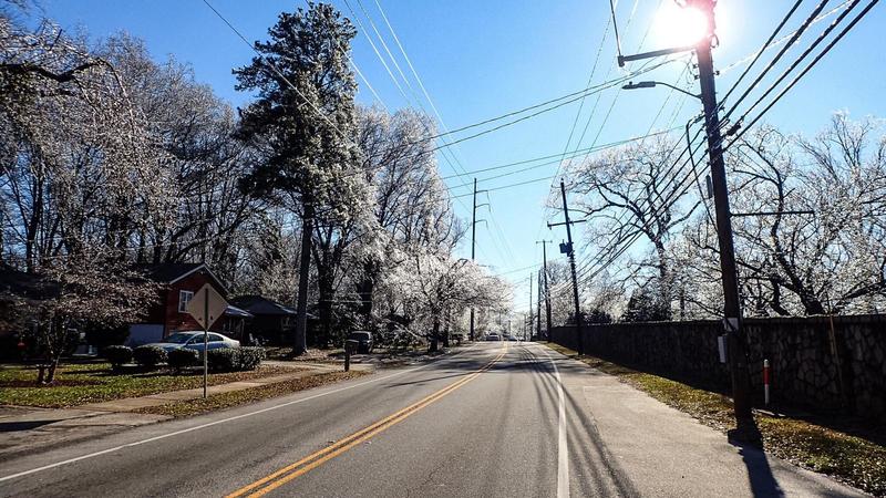
A winter weather event unfolded across most of north Georgia beginning the evening of Friday, January 6, 2017 and lasted through the morning hours on Saturday, January 7, 2017. Cold air in association with an Arctic high pressure system was filtering into the state on Friday, January 6th. Meanwhile, a low pressure system developed along the Gulf Coast and moved northeast, bringing moisture into this cold air mass. The result was several inches of snow across much of north Georgia, with significant freezing rain accumulations up to a quarter of an inch across much of the Atlanta metropolitan area. These snow and ice accumulations caused difficult travel conditions Friday evening into Saturday, while the freezing rain accumulations led to scattered power outages and tree damage.
|
Surface and Upper Air Maps:
 
Above: Surface analysis maps from 00z (7 PM Friday) and 12z (7 AM Saturday) show the coastal low pressure system responsible for winter precipitation trekking to the south and east of the area.
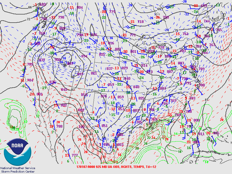 
The 925 mb (left) and 850 mb (right) upper air maps from 00z (7 PM Friday) are shown. The Atlanta temperature at 925 mb was below freezing (-4 C) while at 850 mb it was above freezing (5 C). This warm nose at 850 mb shows why freezing rain was the primary precipitation type in Atlanta Friday evening. Areas farther to the north remained below freezing through the atmospheric column, leading to snow in these locations.
|
|
Radar Imagery:
 
Radar evolution from 6:55 PM (left ) to 7:55 PM (right) shows a shield of precipitation tracking across much of Georgia. Precipitation was mostly snow in far north Georgia, freezing rain in much of the Atlanta metro, and rain in central Georgia.
 
Radar imagery from 11:55 PM EDT (left) and 1:55 AM EDT (right) shows the heavier precipitation beginning to exit to the east. By early morning, generally only light snow showers were occurring in north Georgia.
|
|
Upper Air Soundings:
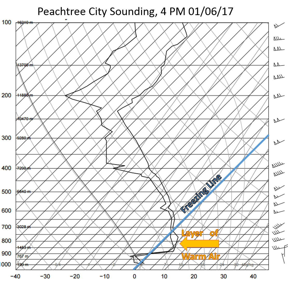
Above is the sounding from Peachtree City (FFC) at 21z (4 PM) on Friday, January 6th. Although surface temperatures were hovering around freezing, there was a substantial layer of above-freezing temperatures aloft. This warm layer caused falling snow to melt before refreezing at the surface as freezing rain.

By the evening 00z (7 PM) sounding, the layer of warm air has not cooled much, and temperatures at the surface remain at freezing. Freezing rain remains the primary precipitation type across much of the Atlanta metro with snow occurring farther north.
.png)
The 12z (7 AM) sounding from Saturday, January 7th shows that the entire atmospheric column is now well below freezing. At this point, however, much of the deeper moisture has exited to the east, and only a few light snow showers or snow flurries are falling.
|
|
Snow Accumulation Map:

The heaviest snow accumulations generally occurred from the northern Atlanta metro area into the north Georgia mountains. Snowfall accumulations as high as 6" were recorded in the north Georgia mountains.
|
|
Ice Accumulation Map:

Most of the Atlanta metro received more freezing rain accumulations than snowfall. Accumulations up to 1/4" occurred, which caused some scattered power outages.
|
|