Event Summary
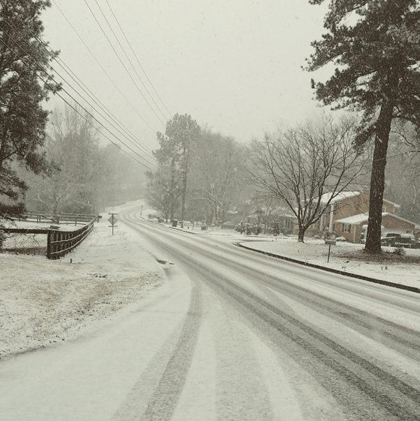
Winter continued to let its presence be known across north Georgia on February 25, 2015. As a strong shortwave dug into the Southern Plains and lower Mississippi Valley, the associated surface low tracked along the Gulf Coast, spreading moisture across the Southeast. This moisture spread over-top of dry, cold surface air already in place across north Georgia, causing the column to saturate and temperatures to rapidly cool to near or just below freezing. Rain changed to a heavy, wet snow, generally across the Atlanta metro and areas northward, while areas south of the metro experienced a very cold rain, sometimes mixed with sleet. Several special soundings were launched throughout the day to monitor the presence of a warm layer and the amount of evaporative cooling with time. Towards evening, the surface low advected warmer air from the Gulf as far north as the Atlanta metro, changing snow to a rain/freezing rain mix. Areas north of the metro continued to experience snow, heavy at times, as low-level cold air remained in place and mesoscale banding developed. Most areas across far north Georgia received between 7-10 inches of snow, with a tight snow gradient setting up just north of the metro. Travel impacts were significant and widespread, as the heavy, wet snow stuck to roadways and accumulated quickly. This system rapidly exited the area overnight and into the morning hours of February 26, 2015.
|
 
Surface analysis around 4pm (left) showing the Gulf Coast low moving eastward. Radar reflectivity around 6pm (right) showing plenty of moisture continuing to spread out ahead of the surface low.
|
|
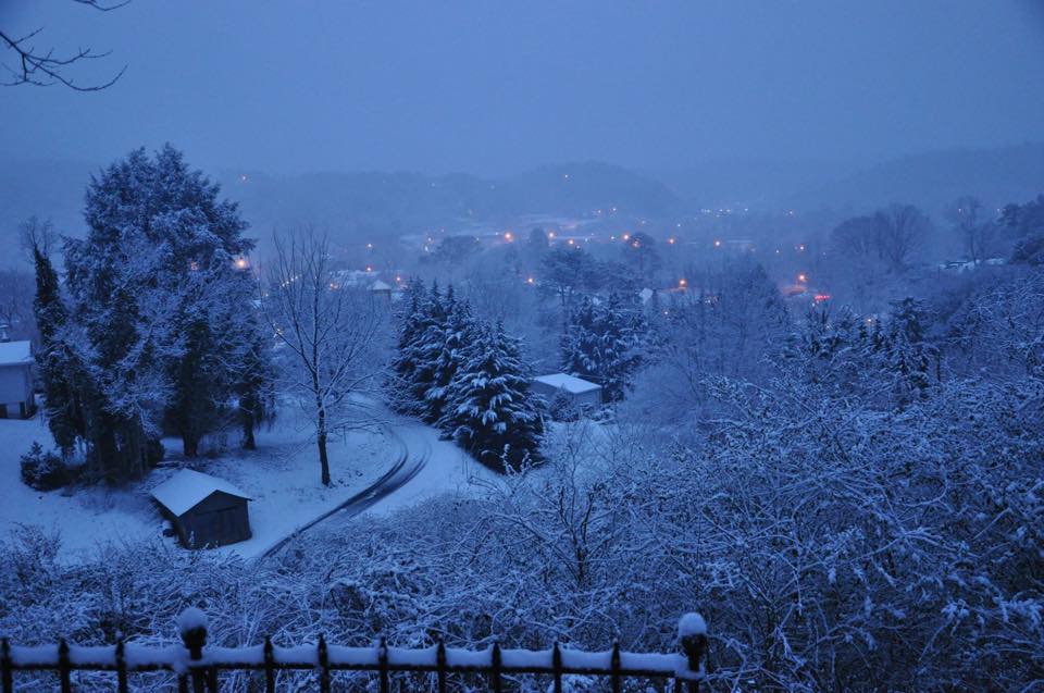
Rain / Snow Line in North Georgia:

Depiction of the general rain/snow line across north Georgia during the afternoon. The Atlanta metro was on the cusp of the snow line as warmer air began advecting in.
|
|
Upper Air Soundings:
 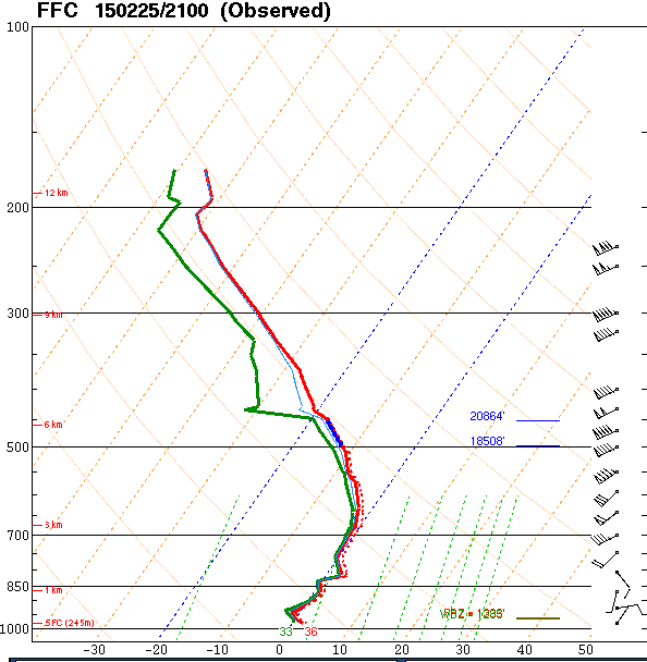
Special 18z sounding (left) showing atmosphere saturating. Special 21z sounding (right) showing a saturated and cooled atmosphere with a deep 0oC isothermal layer.

00z sounding showing a deep warm layer advected in from the Gulf, assisting in the transition from snow to rain across much of the Atlanta metro area.
|
|
Snow Accumulation Map:
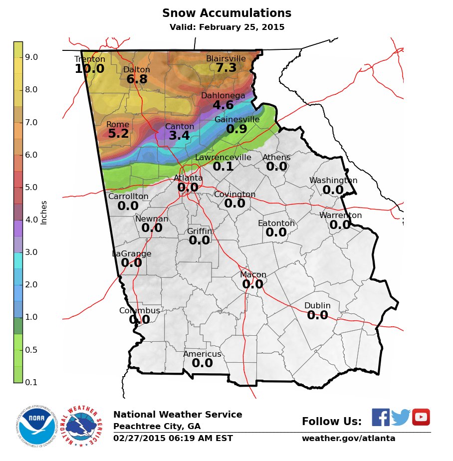
Areas of far north Georgia received the highest snow amounts (between 7-10 inches) with a sharp gradient oriented southwest to northeast just north of the Atlanta metro.
|