|
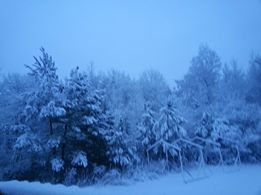
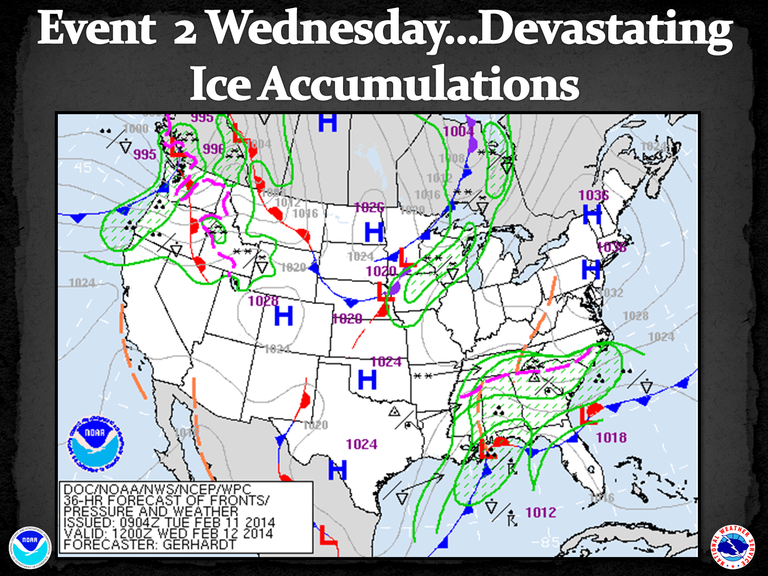
Event Summary On the heels of a significant winter storm 2 weeks earlier, a more powerful storm brought heavy snow and record level of ice to north and central Georgia on February 11-13, 2014. Two rounds of precipitation occurred with this event. The first moved in early Tuesday morning on the 11th bringing 2 to 5 inches snow to areas roughly north of a Rome to Gainesville line. South of this line a mixture of rain, sleet and snow occurred with little impact at the time. The second round proved to be more significant of the two...as it moved in Wednesday morning as a cold air damming event, or wedge front, pushed southwest from upstate South Carolina and into northeast Georgia and points south and west. The precipitation continued through day and into the overnight. Fortunately a "dry slot" wrapped around the south end east side of the upper level low pressure area. This dry slot caused precipitation to break up across much of the area late Wednesday morning through the afternoon. This dry slot was larger and further north than most computer forecasts were indicating previously. Had it developed as expected further south, the impact of freezing rain and snow would have been much, more worse. That said, areas along and just south of the Interstate 20 corridor of East Central Georgia still received ice totals not seen in decades. By the time the precipitation wrapping around the back side of the upper low pressure area ended late Wednesday night in north Georgia, a large area of 2 to 4 inches of snow had fallen roughly north of I-20 and ice accumulations of 1/4 to over 1/2 inch near Atlanta and amounts over 3/4 of an inch all along the I-20 east corridor towards Augusta (see accumulation map).
|
||||||||||||||||||||||||||||||||||||||||||||||||||||||||||||||||||||||||||||||||||||||||||||
|
|
|
![[ Cars abandoned in Atlanta ]](/images/ffc/events/20140212/20140213_073702.jpg) Sandersville Ice |
 Sandersville Ice |
 Sandersville Ice |
 Peachtree City |
 Gordon County |
 Ellijay, GA |
 Armuchee |
 Chatsworth |
 Cumming |
 Cartersville |
 Douglasville |
 Gilmer County |
 Gilmer County |
 Marietta |


![[500 mb 00Z Thurs Feb 13 2014]](/images/ffc/events/20140212/00_500mb.gif)
![[700 mb 00Z Thurs Feb 13 2014]](/images/ffc/events/20140212/00_700mb.gif)
![[850 mb 00Z Thurs Feb 13 2014]](/images/ffc/events/20140212/00_850mb.gif)


![[ Total Ice Accumulation for North and Central Georgia]](/images/ffc/events/20140212/forecastvsobservedice.png)
