A chance of storms will kick off the month of August across South-Central Texas on Saturday, August 1, continuing through Saturday night. The best opportunities for rain will be focused across the Edwards Plateau, Hill Country, and I-35 Corridor during the daytime hours before storm chances taper overnight. A few strong storms could produce gusty winds up to 50 mph, while isolated heavy downpours exceeding 2 inches may lead to a low risk for flooding.
A brief return of rain begins the month of August. Moderate heat risk impacts continue next week. Maximum temperatures are forecast to reach up to 102°F in some areas, with maximum heat indices climbing as high as 109°F. Remember to stay hydrated and practice heat safety.


 Austin/San Antonio Radar
 Weather Map
 Satellite Imagery
 Del Rio Radar
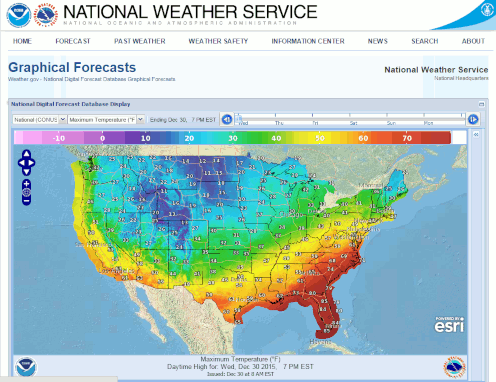 Digital Forecast Map
 Tropical Outlook
 Drought Status
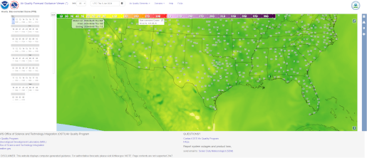 Air Quality
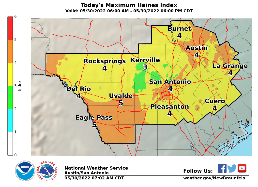 Fire Weather Forecasts
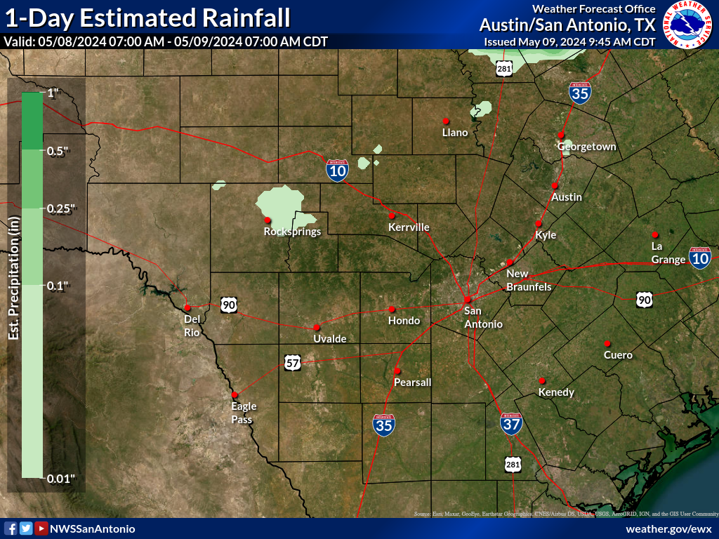 Observed Rainfall
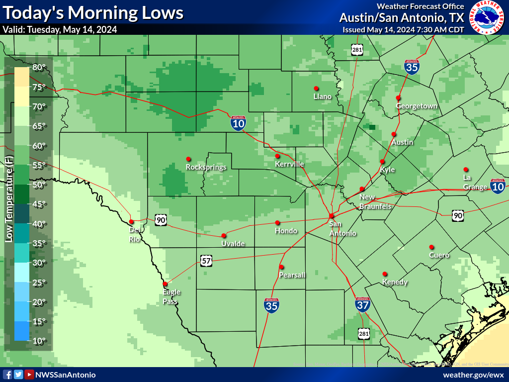 Observed Temperatures
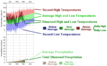 Daily Climate Graphs