
The nor’easter will weaken tonight, easing beach conditions and coastal flooding, though locally heavy rain will continue in parts of the Mid-Atlantic and New England into Monday. Hurricane Nolo continues to bring strong winds and large waves to Hawaii. A multi-day rain event will return to the Four Corners region Monday and expand to the south-central U.S. by midweek. Read More >
Overview
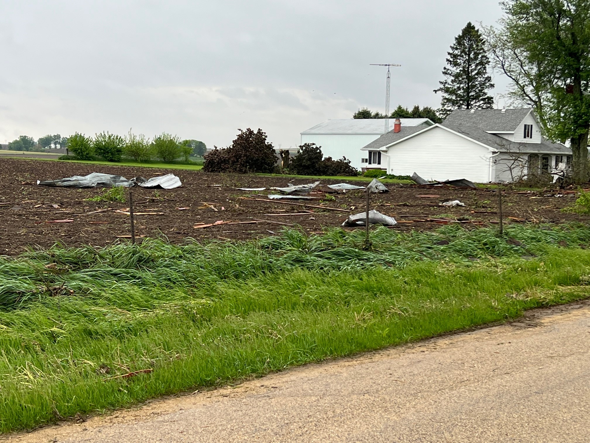
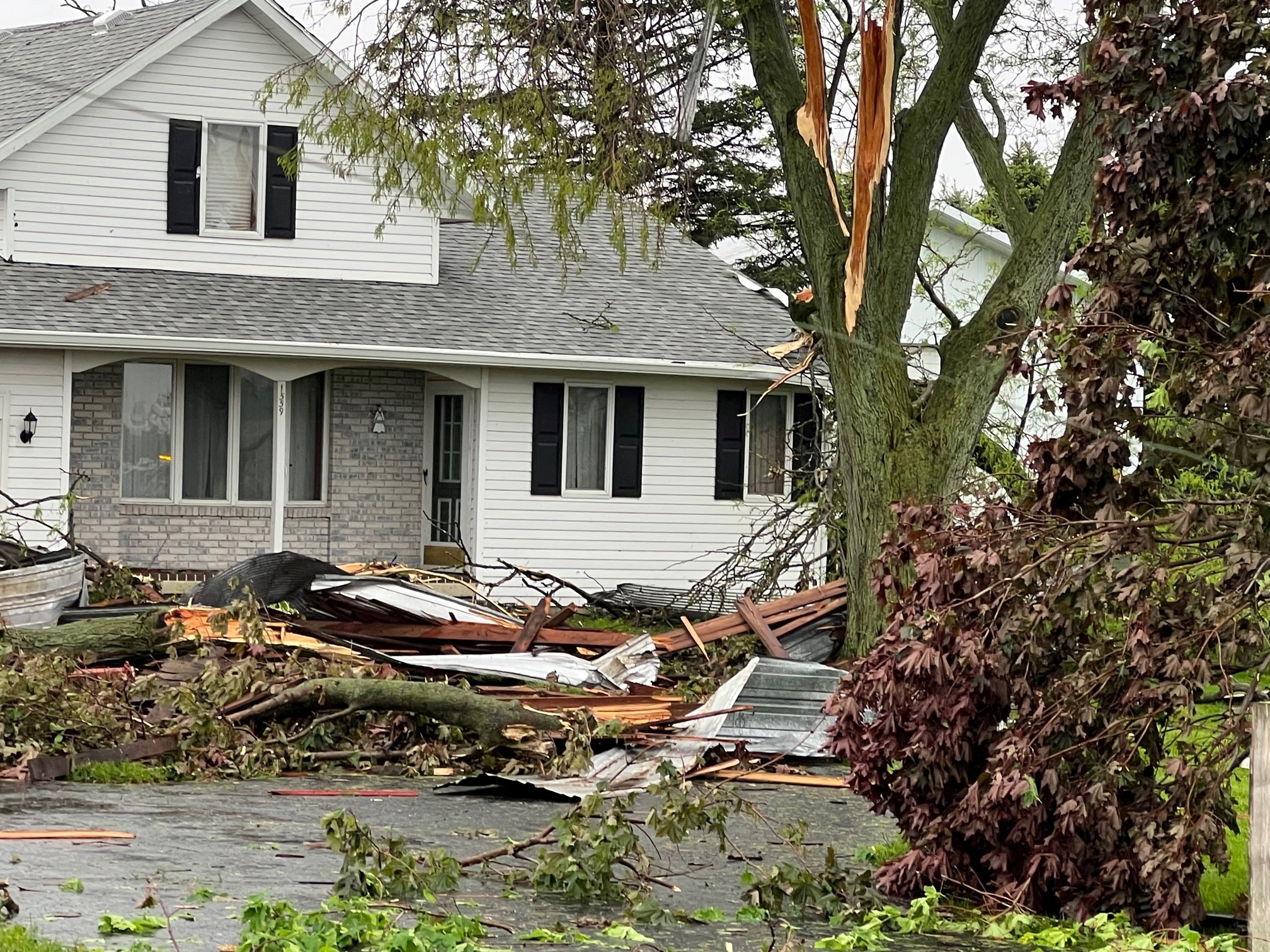
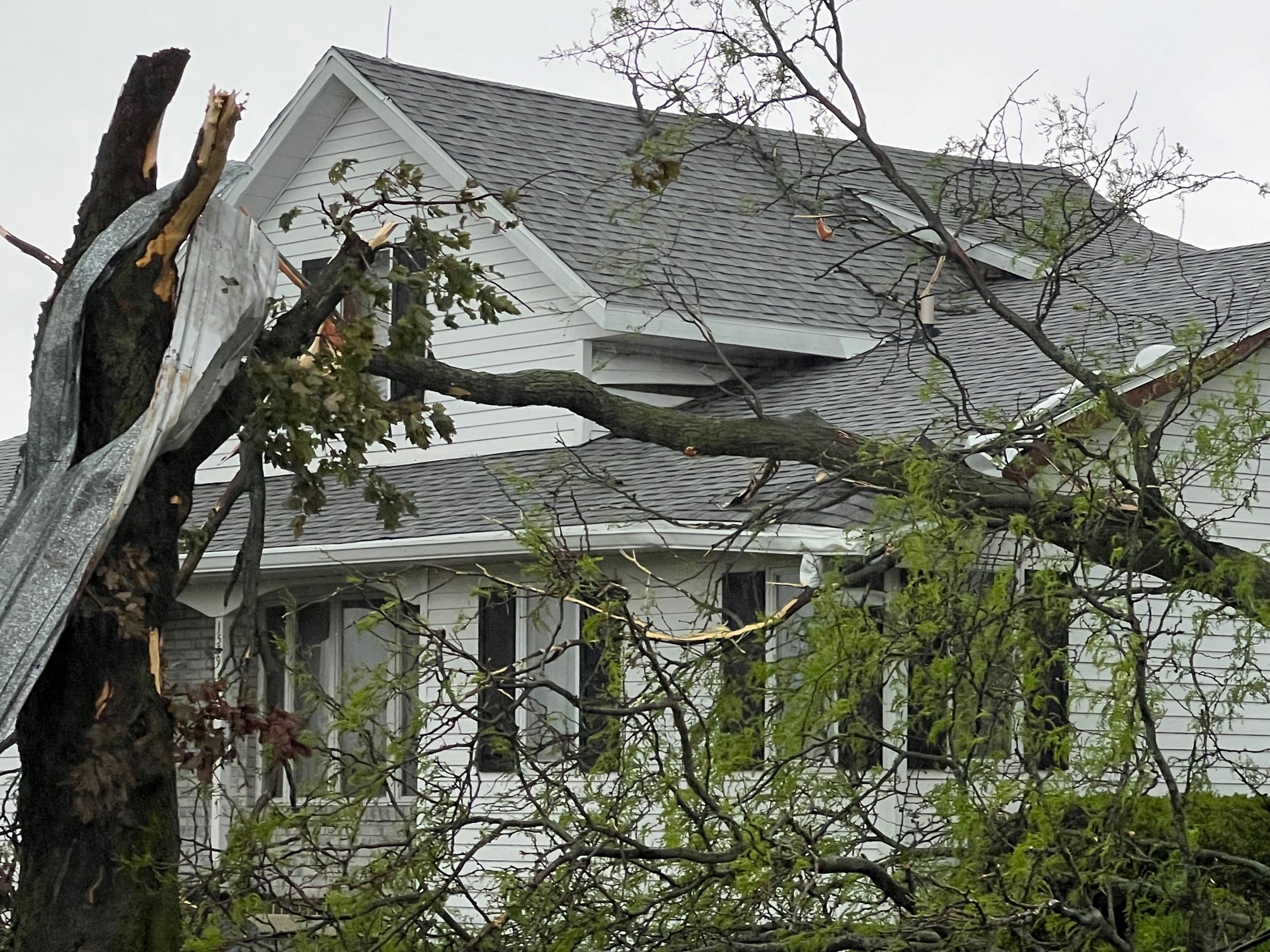
A brief spin-up tornado occurred Wednesday afternoon just south of Freeport near the airport. No injuries were reported.Tornadoes:
|
1 S Freeport IL
Track Map 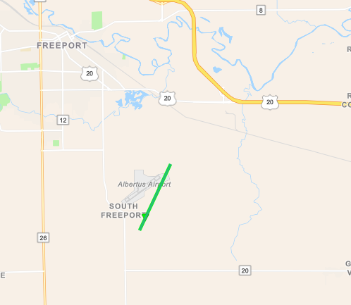 
|
||||||||||||||||
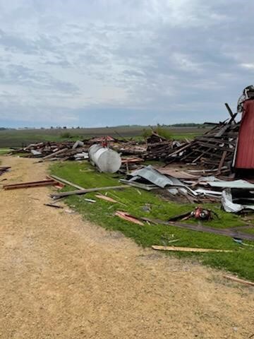 |
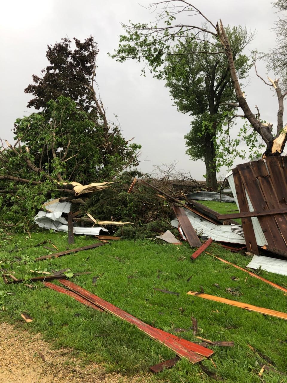 |
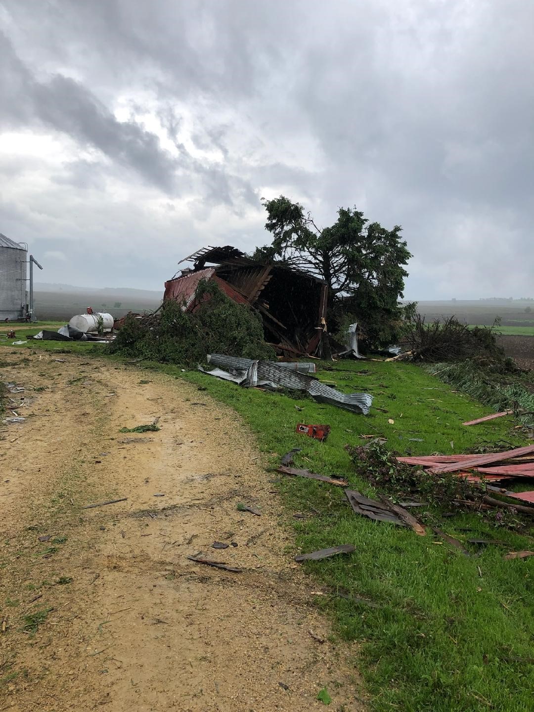 |
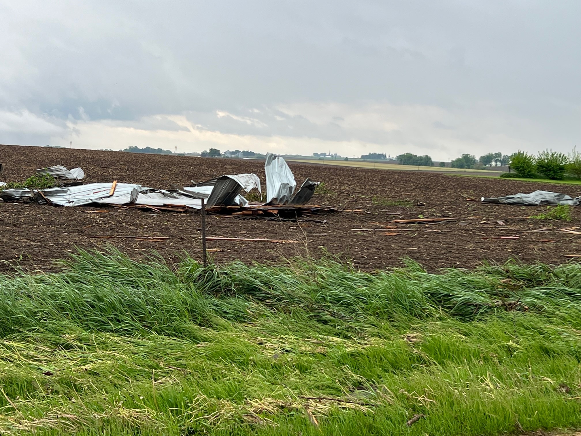 |
| Image Courtesy of Stephenson County EM | Image Courtesy of Stephenson County EM | Image Courtesy of Stephenson County EM | Image Courtesy of Stephenson County EM |
 |
 |
 |
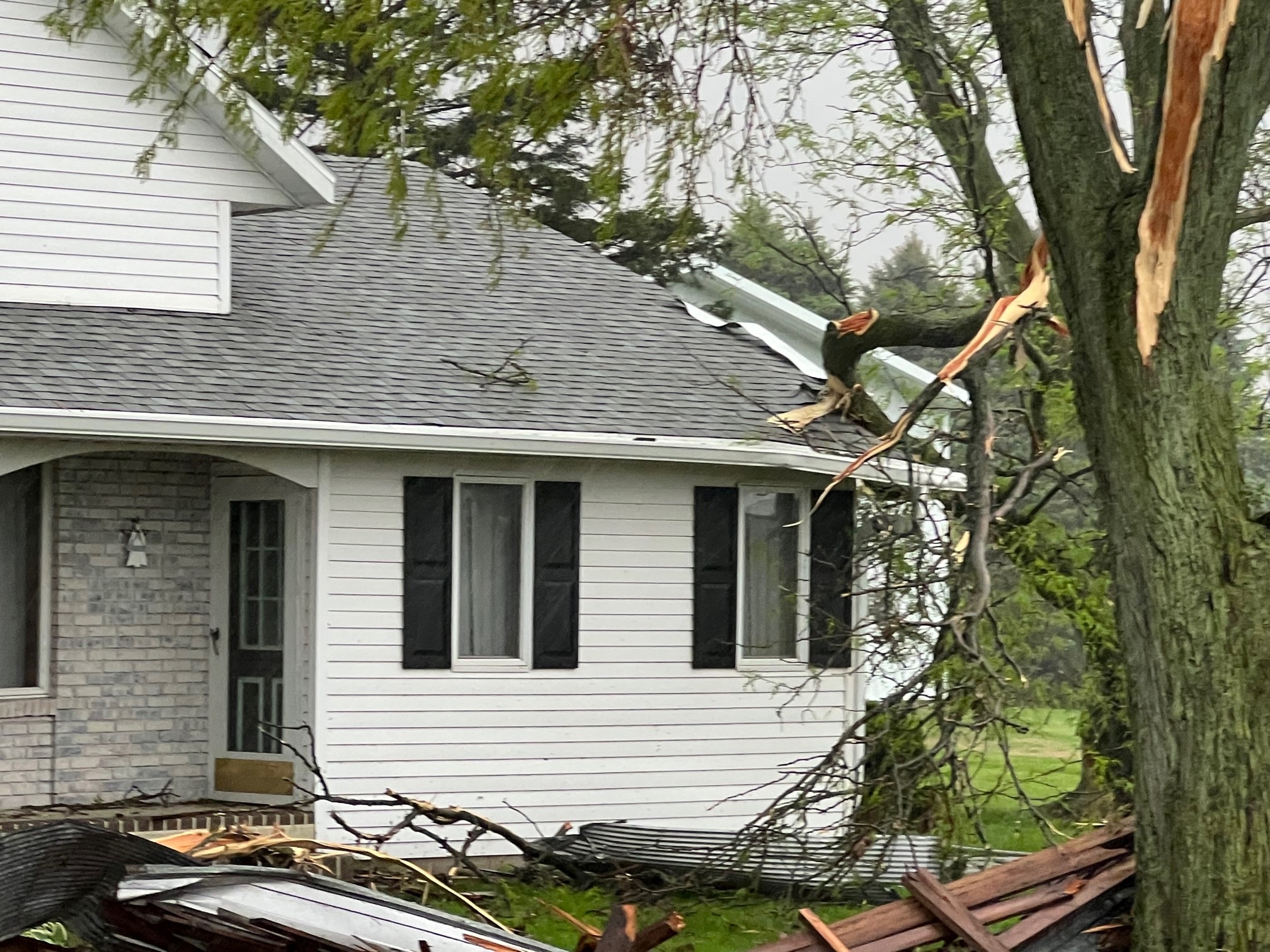 |
| Image Courtesy of Stephenson County EM | Image Courtesy of Stephenson County EM | Image Courtesy of Stephenson County EM | Image Courtesy of Stephenson County EM |
The Enhanced Fujita (EF) Scale classifies tornadoes into the following categories:
| EF0 Weak 65-85 mph |
EF1 Moderate 86-110 mph |
EF2 Significant 111-135 mph |
EF3 Severe 136-165 mph |
EF4 Extreme 166-200 mph |
EF5 Catastrophic 200+ mph |
 |
|||||
 |
Media use of NWS Web News Stories is encouraged! Please acknowledge the NWS as the source of any news information accessed from this site. |
|



 Follow us on X
 Follow us on Facebook
 Follow us on YouTube
 DVN RSS Feed