| Regional Temperature & Precipitation Observations | Airport & COOP obs of max and min temperatures & precipitation amounts |
| |
| |
| Area Regional Temperature and Precipitation Report (Courtesy IEM) |
| |
| |
| Interactive Precipitation and Snowfall Maps |
| |
|
|
| |
|
|
| |
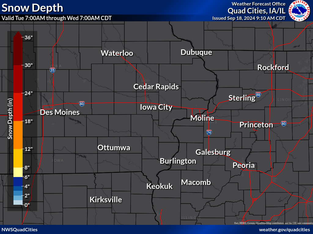
| Local Temperature, Precipitation, Snowfall, & Snow Depth Maps |
| |
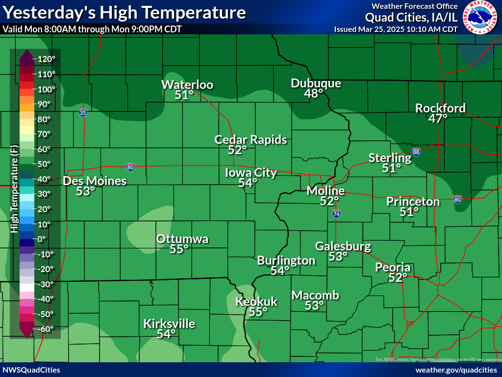
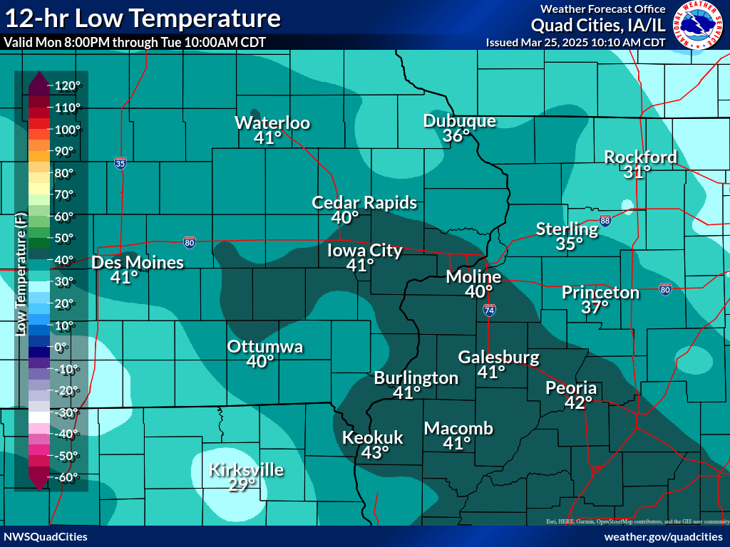
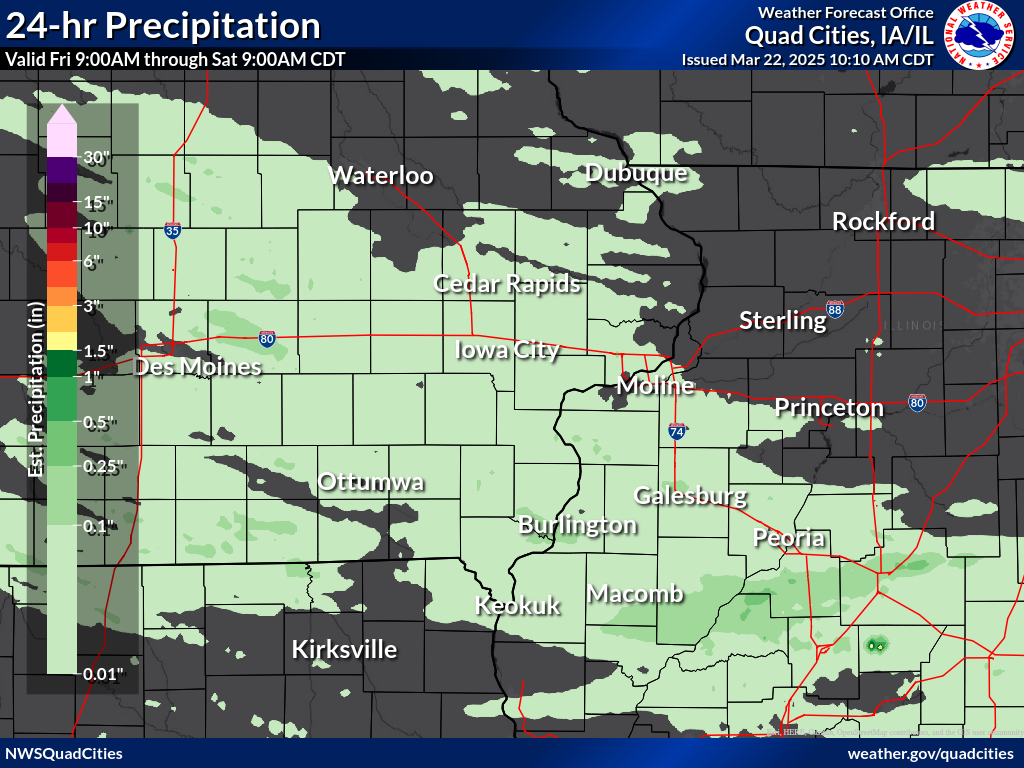
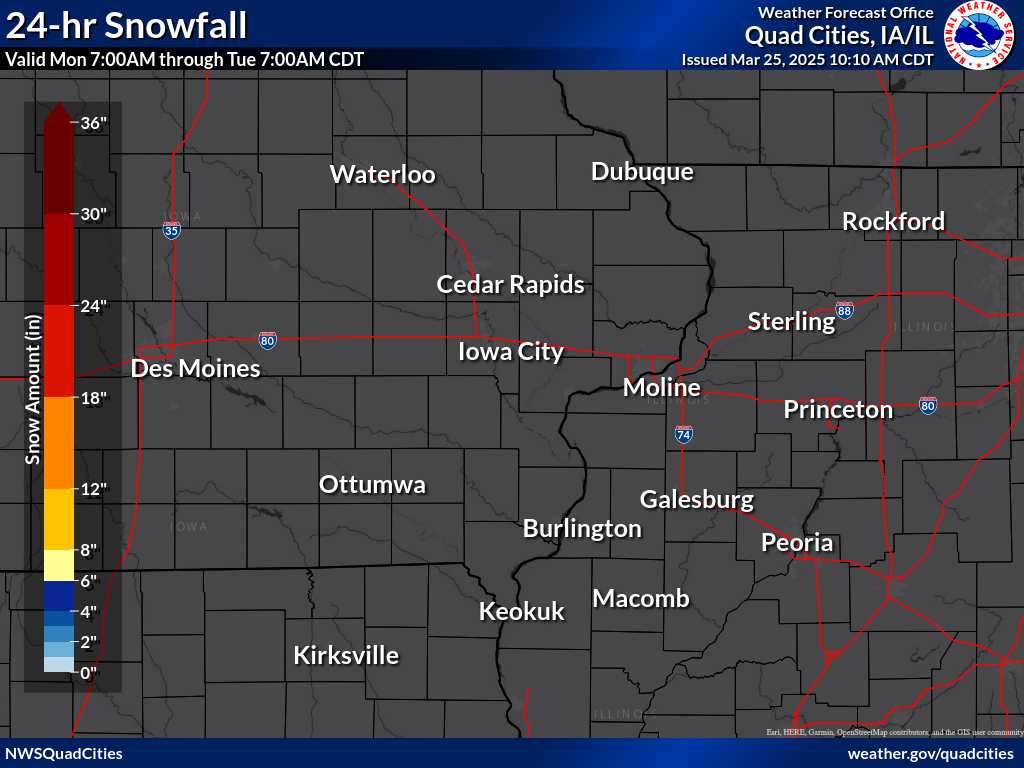
| The daily precipitation maps below (created ~10:30 am daily) are derived from the Regional Max/Min Temp and Precipitation Table above and the CoCoRaHS Precipitation Summary. They depict the high temperature for the previous calendar day, the 12-hr low temperature ending at 6 am LST (may not be the actual low temperature for the day), the 24-hr precipitation and snowfall totals ending between 5-9 am LST, and the snow depth observed between 5-9am LST. |
|
| |
Yesterday
High Temp |
6pm-6am LST
Low Temp |
24 Hour
Precipitation |
24 Hour
Snowfall |
Daybreak
Snow Depth |
 |
 |
 |
 |
 |
|
| |
| |


