Forecast High Temperatures
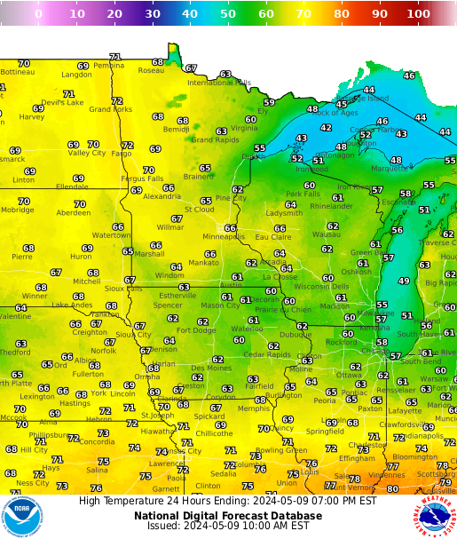
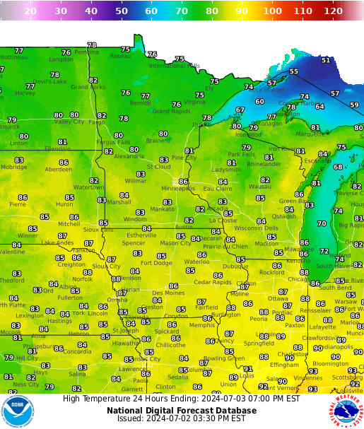
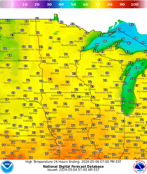
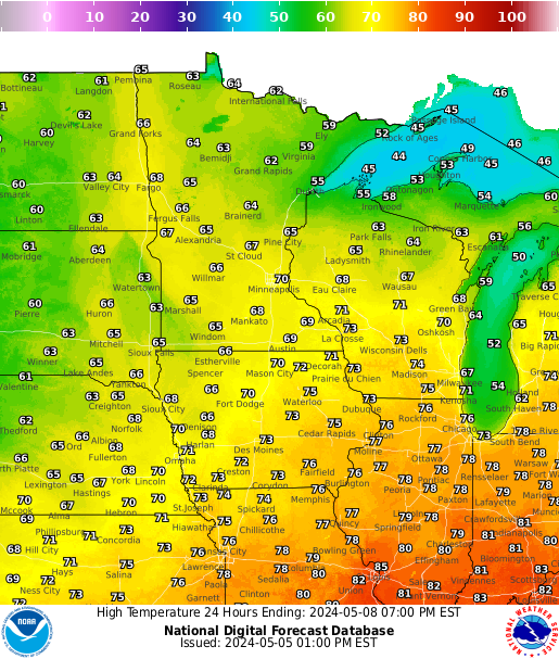
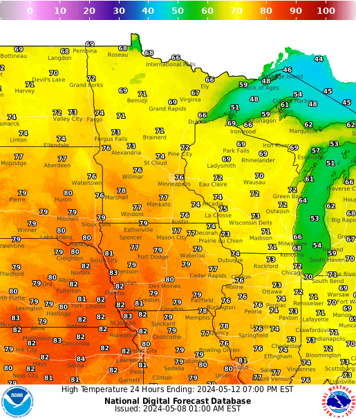
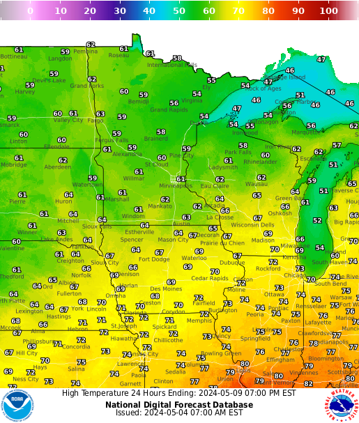
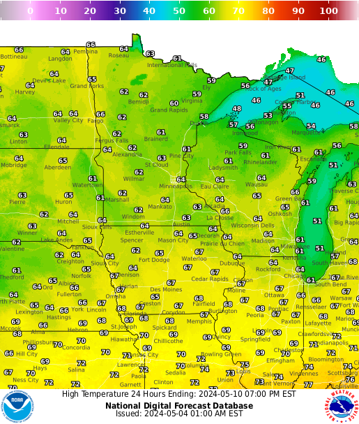
The graphics below are for Maximum Temperatures for the next 7 days, from the most current time to day 7. |
| |
|
|
|
|
|
|
| Today |
Tomorrow |
Day 3 |
Day 4 |
Day 5 |
Day 6 |
Day 7 |
 |
 |
 |
 |
 |
 |
 |
| |
|
|
|
|
|
|
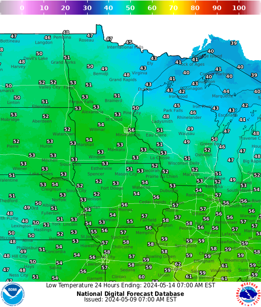
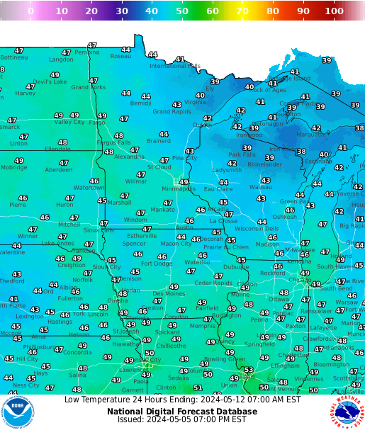
Forecast Low Temperatures
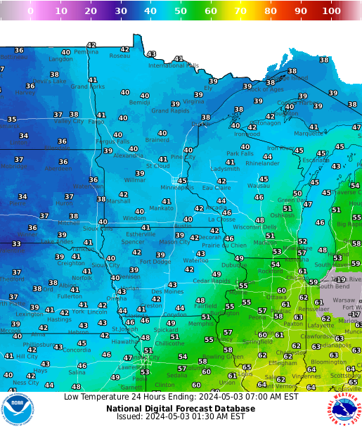
The graphics below are for Minimum Temperatures for the next 7 days, from the most current time to day 7. |
| |
|
|
|
|
|
|
| Tonight |
Tomorrow Night |
Day 3 |
Day 4 |
Day 5 |
Day 6 |
Day 7 |
 |
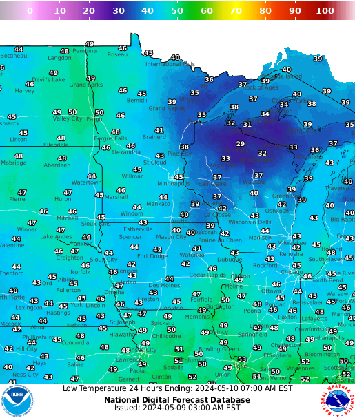 |
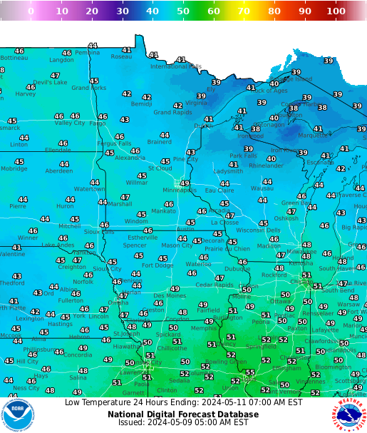 |
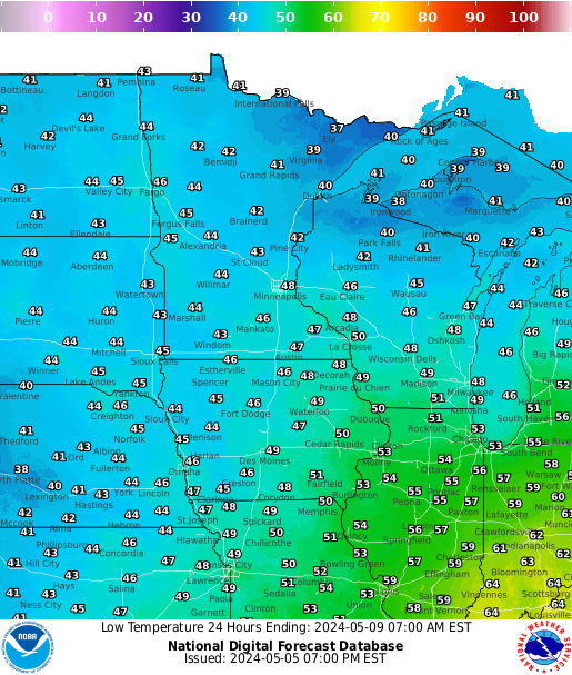 |
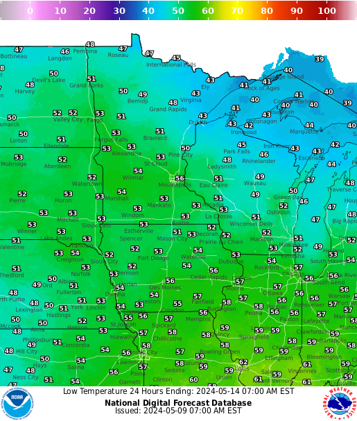 |
 |
 |
| |
|
|
|
|
|
|
Snow and Water Content Information
| |
Current Snow Depth |
|
|
Current Snow Water Equivalent |
 |
 |
|
 |
 |
| |
|
|
|
|
| |
|
|
|
|
| |
Current Snow Temperature |
|
|
Modeled Hourly Snow Melt |
 |
 |
|
 |
 |
| |
|
|
|
|
|
|
Temperature and Precipitation Outlooks for Weeks 2 through 4
|
| Week 3 and 4 Temperature Outlook |
|
Week 3 & 4 Precipitation Outlook |
 |
|
 |
|
| Mississippi River Highest Gage Height Records |
| |
| Dubuque, IA Lock & Dam 11 |
|
25.69 ft |
|
4/26/1965 |
| Dubuque, IA Railroad Bridge |
|
26.81 ft |
|
4/26/1965 |
| Bellevue, IA Lock & Dam 12 |
|
23.51 ft |
|
4/26/1965 |
| Fulton, IL Lock & Dam 13 |
|
24.75 ft |
|
4/28/1965 |
| Camanche, IA |
|
24.65 ft |
|
4/28/1965 |
| Le Claire, IA Lock & Dam 14 |
|
17.75 ft |
|
4/28/1965 |
| Rock Island, IL Lock & Dam 15 |
|
22.70 ft |
|
5/2/2019 |
| Illinois City , IL Lock & Dam 16 |
|
24.10 ft |
|
7/9/1993 |
| Muscatine, IA |
|
25.61 ft |
|
7/9/1993 |
| New Boston, IL Lock & Dam 17 |
|
25.90 ft |
|
7/9/1993 |
| Keithsburg, IL |
|
24.49 ft |
|
6/17/2008 |
| Gladstone, IL Lock & Dam 18 |
|
22.46 ft |
|
6/17/2008 |
| Burlington, IA |
|
25.73 ft |
|
6/17/2008 |
| Keokuk, IA Lock & Dam 19 |
|
27.58 ft |
|
7/10/1993 |
| Gregory Landing, MO |
|
28.49 ft |
|
7/9/1993 |
|
2020 Flood Outlook Webpage - Last Updated 3/12/2019
Chance of Exceedance Probabilities for the Next 3 Months
|
Probabilistic Hydrologic Outlook
|
|
|
Choose your location from the drop down menu below to see the probabilities on how high the river might get.
 |
| |
|
|
|
|