Life-threatening, potentially catastrophic flash flooding expected along the central Gulf Coast as the remnants of Arthur track across the area. Isolated brief tornadoes and damaging gusts remain possible overnight in the Southeast. Isolated to scattered dry thunderstorms may cause lightning-ignited fires and erratic behavior due to gusty winds across parts of the West Friday. Read More >
Overview
A squall line developed in a strongly sheared environment in western Kansas Christmas Day. Damaging winds and several weak tornadoes occurred as the squall line moved rapidly eastward. Each tornado moved at least 60 mph and lasted only a few minutes.Tornadoes:
|
|
||||||||||
|
||||||||||
|
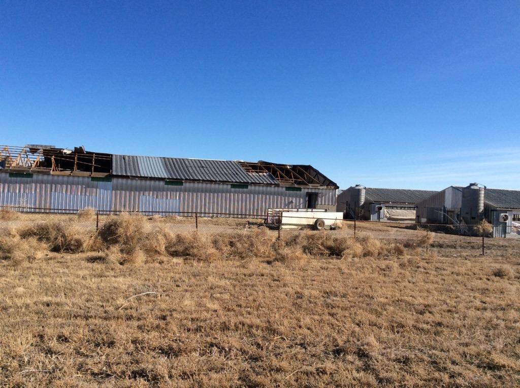
Tornado - Kismet
Track Map 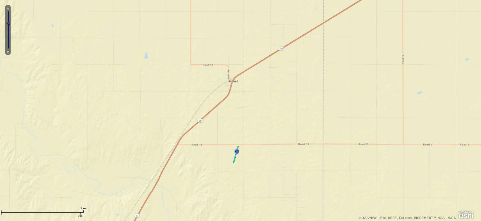 
Downloadable KMZ File |
||||||||||||||||
|
||||||||||||||||
|
Tornado - Ensign
Track Map 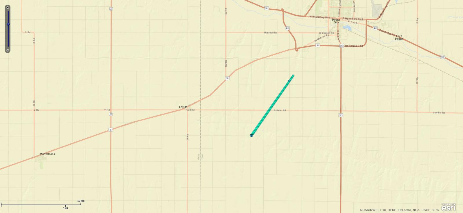
Downloadable KMZ File |
||||||||||||||||
|
|
||||||||||||||||
|
Tornado - Bucklin
Track Map 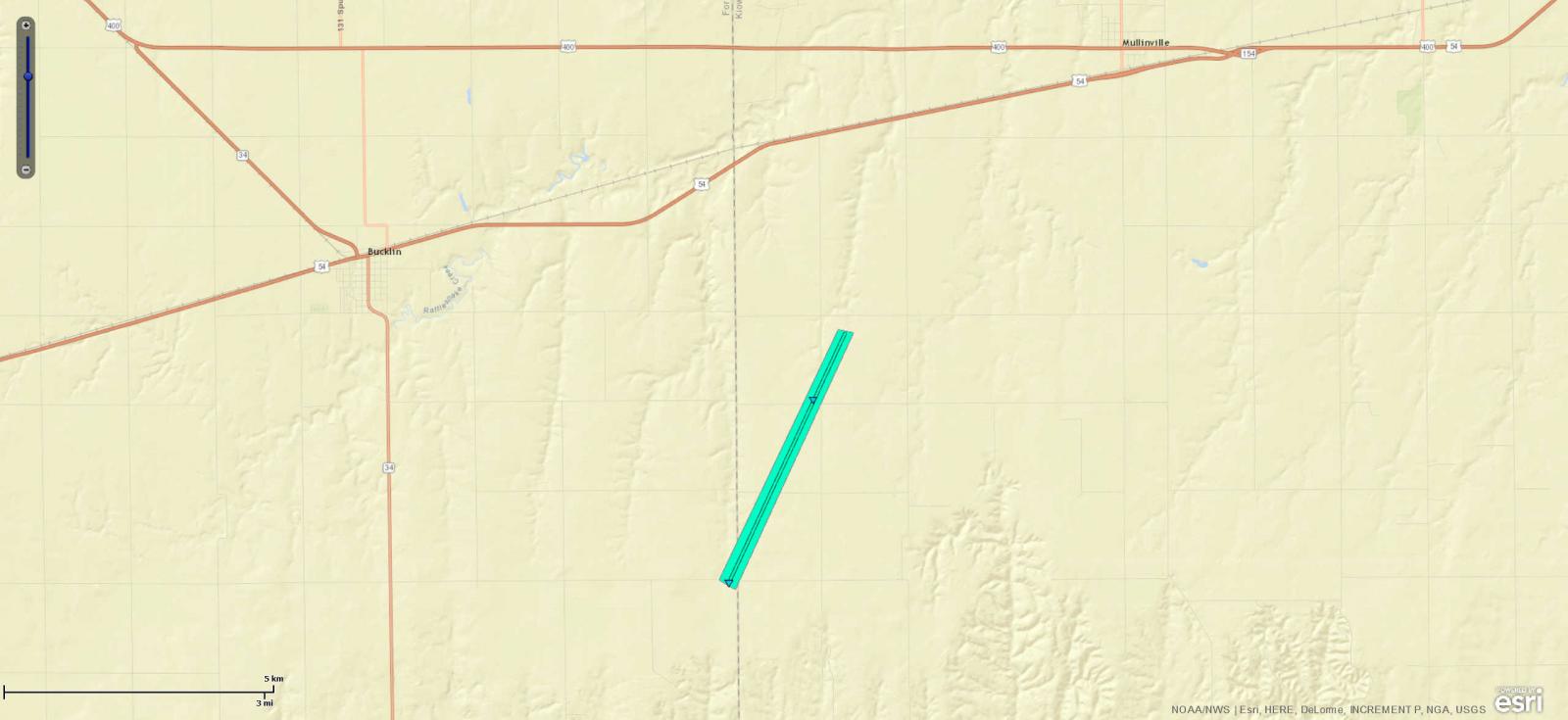
Downloadable KMZ File |
||||||||||||||||
|
||||||||||||||||
|
Tornado - Greensburg
Track Map 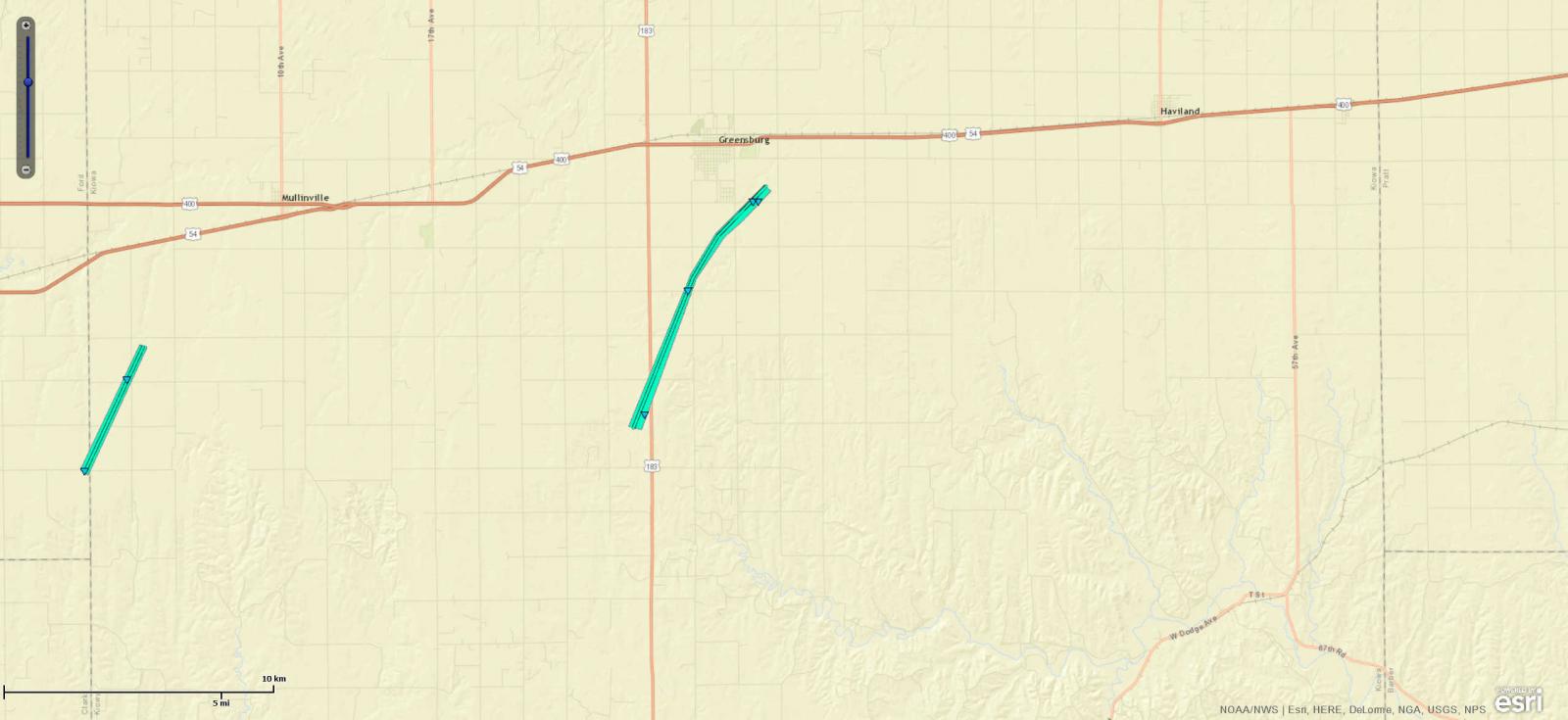
Downloadable KMZ File |
||||||||||||||||
|
Tornado - Wilmore
Track Map 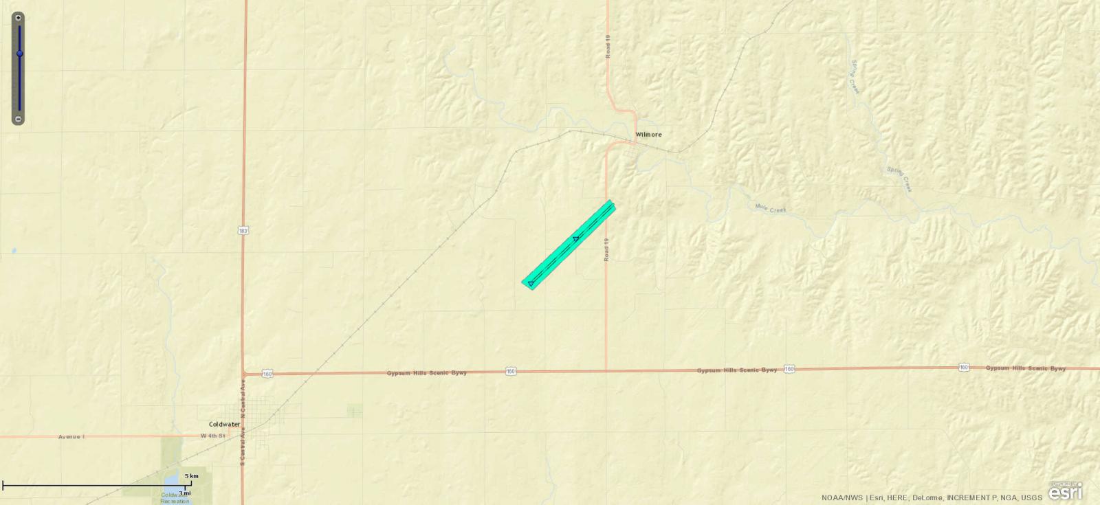
Downloadable KMZ File |
||||||||||||||||
|
Tornado - Rush Center
Track Map 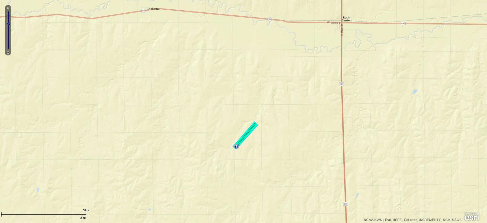
Downloadable KMZ File |
||||||||||||||||
The Enhanced Fujita (EF) Scale classifies tornadoes into the following categories:
| EF0 Weak 65-85 mph |
EF1 Moderate 86-110 mph |
EF2 Significant 111-135 mph |
EF3 Severe 136-165 mph |
EF4 Extreme 166-200 mph |
EF5 Catastrophic 200+ mph |
 |
|||||
Photos & Video:
Tornado Damage Pictures
 |
 |
 |
|
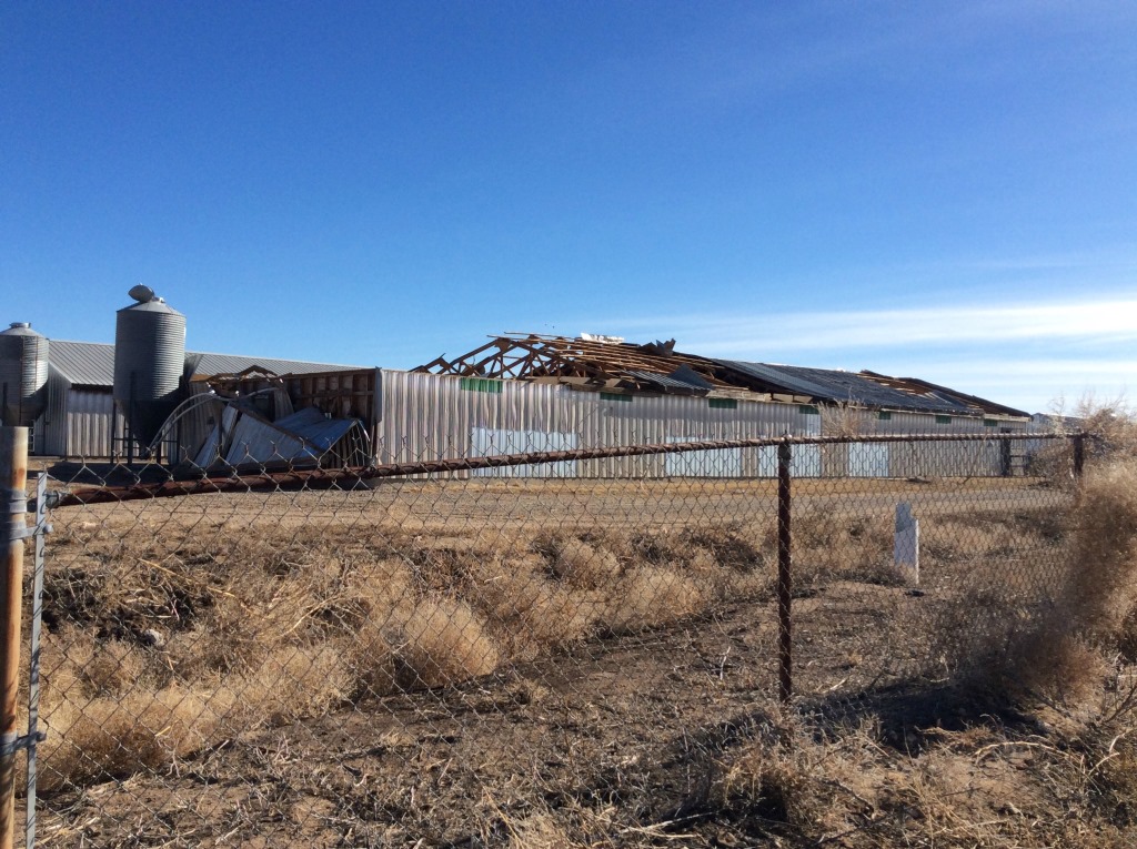
| Hog Farm South of Kismet |
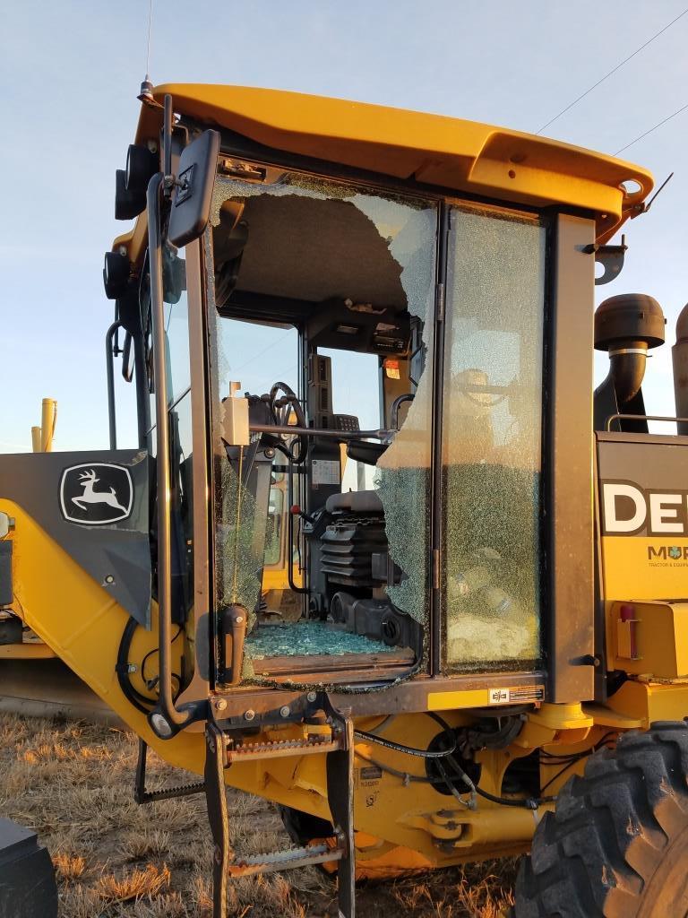
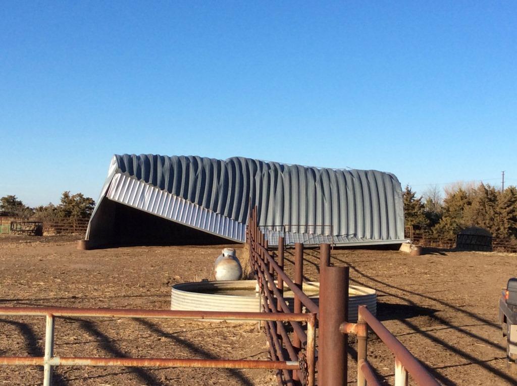
Road Grader Southeast of Ensign | Cattle Shed Southeast of Bucklin |
 |
Media use of NWS Web News Stories is encouraged! Please acknowledge the NWS as the source of any news information accessed from this site. |
|