Cheyenne, WY
Weather Forecast Office
 |
|
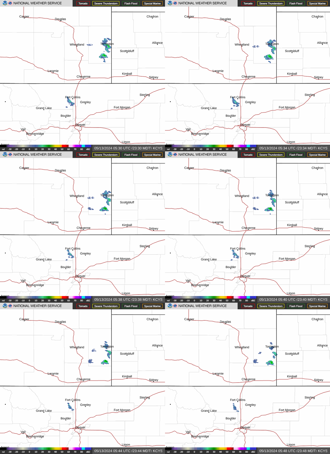
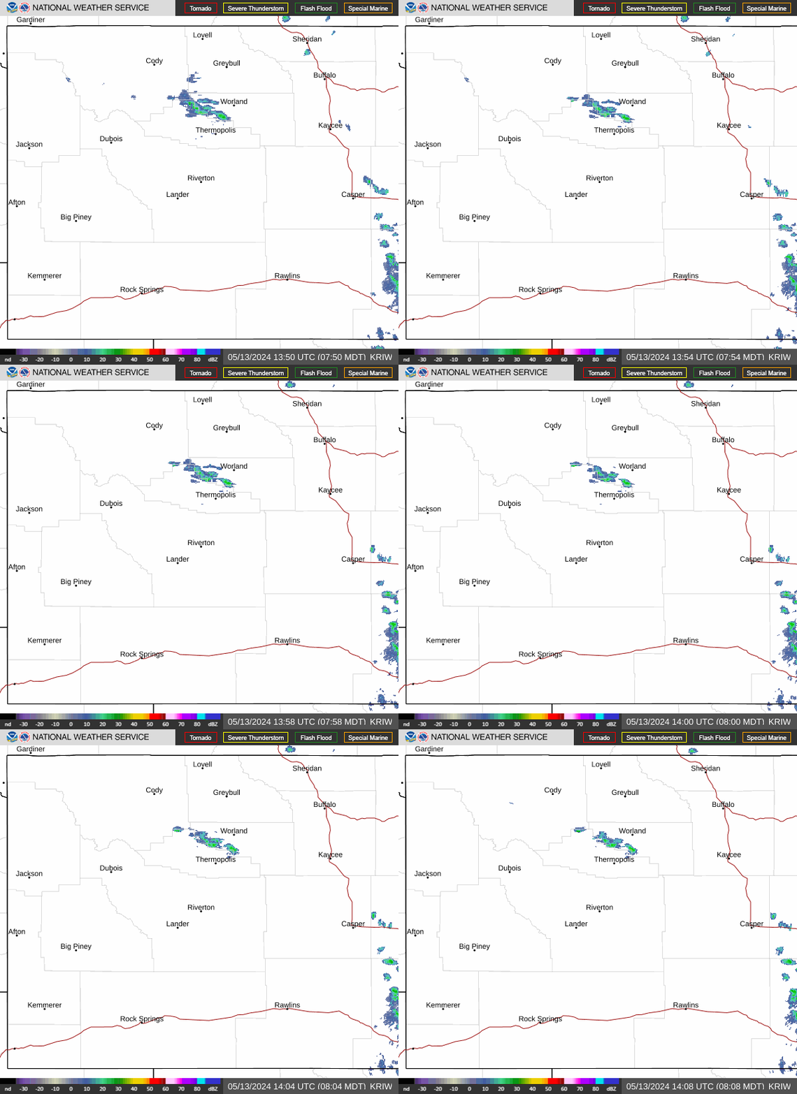
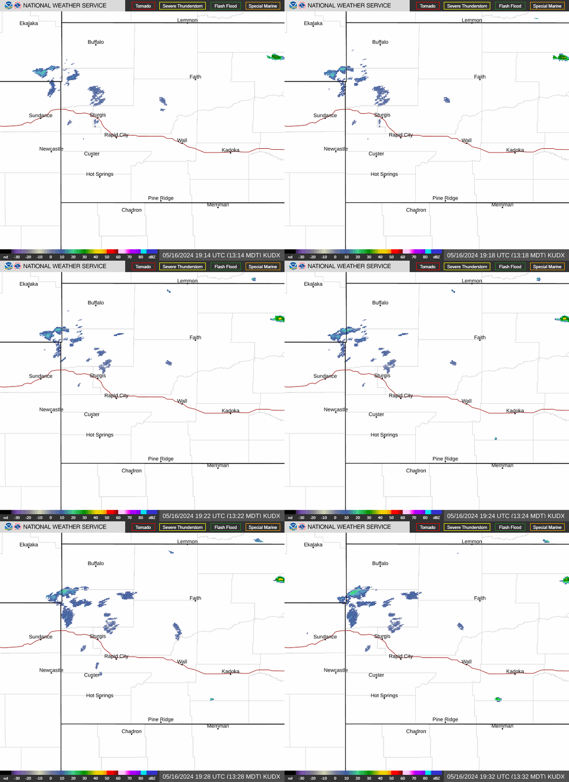
Radar |
 |
 |
 |
|
Weather Story |
 |
 |
 |
|
DSS Packet |
 |
 |
 |
|
Graphical HWO |
 |
 |
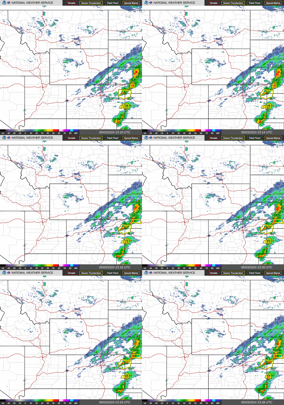
| National Surface Map | Regional Radar |
 |
 |
| Regional GeoColor Satellite | Regional Infrared Satellite |
 |
 |
Click to enlarge graphics
For more information on Wyoming weather observations, check out the State Observations Map on the NWS Weather & Hazards Data Viewer and the State Observations Table on Mesowest |
US Dept of Commerce
National Oceanic and Atmospheric Administration
National Weather Service
Cheyenne, WY
1301 Airport Parkway
Cheyenne, WY 82001-1549
307-772-2468
Comments? Questions? Please Contact Us.


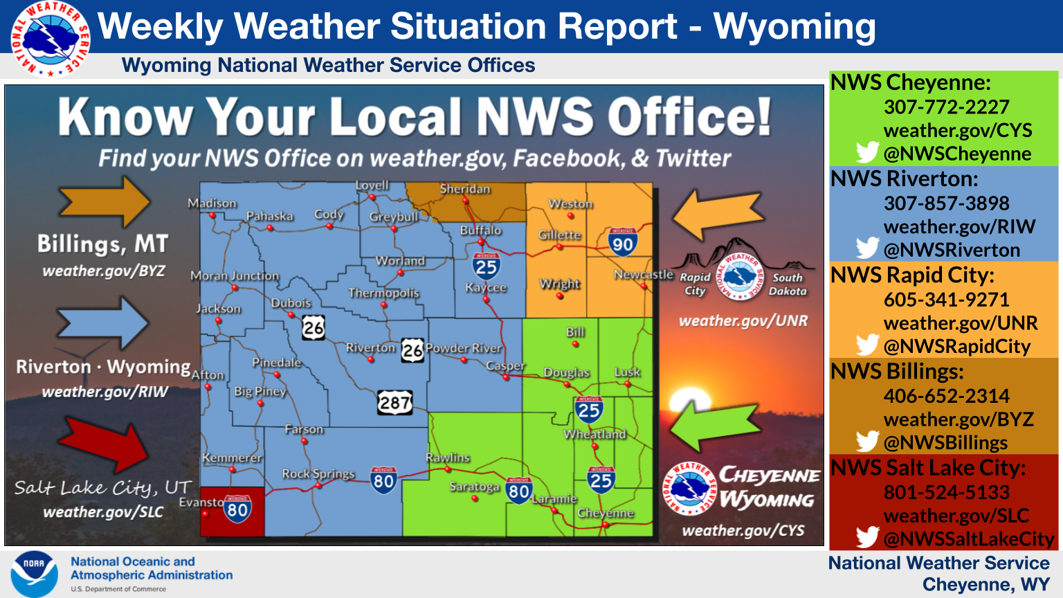
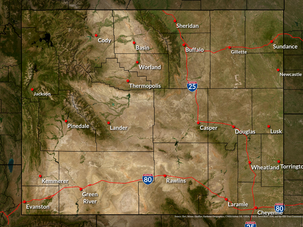
 Weather Story
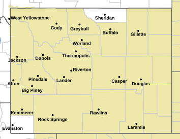
 Weather Map