Overview
|
A significant convective and flooding event occurred during the late afternoon and evening of July 6, 2010. A cold front was positioned along Interstate 80 from just north of Sidney, Nebraska to Laramie, Wyoming. Thunderstorms developed just to the north and along this front. A cold pool aloft increased the potential for bow echoes and very heavy rainfall from far eastern Wyoming into the western Nebraska Panhandle. Recently, areas south of the Pine Ridge received 2 to 4 inches of rain. Additional rainfall would raise flood awareness and model quantitative precipitation forecast values were in the 0.75 to 1.25 inch range south of the Platte River Valley. As little as half an inch of rain could create flash flooding due to the very wet antecedent conditions. |

Cloud Plume near Sidney, NE Credit: Unknown |
 |
 |
 |
|
Funnel descending from a wall cloud near Sidney, NE Credit: Unknown |
Tornado near Lodgepole, NE Credit: Unknown |
Supercell storm approaching Sidney, NE Credit: Unknown |
Tornadoes:
|
Tornado - Lodgepole & Sidney, NE
Track Map
 |
The Enhanced Fujita (EF) Scale classifies tornadoes into the following categories:
| EF0 Weak 65-85 mph |
EF1 Moderate 86-110 mph |
EF2 Significant 111-135 mph |
EF3 Severe 136-165 mph |
EF4 Extreme 166-200 mph |
EF5 Catastrophic 200+ mph |
 |
|||||
Photos & Video:
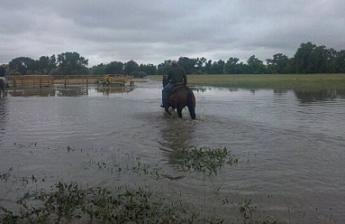
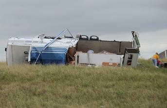
Nebraska and Wyoming Storm Damage
Credit: Stacy M.
Credit: Tom Weber
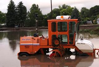
Credit: Unknown

Credit: Anthony Kuhns
Radar:
 |
 |
|
Reflectivity image loop from 5:20 PM to 6:29 PM as the supercell thunderstorm and associated tornado moved to the southeast. |
Storm relative velocity image loop from 5:20 PM to 6:29 PM. The green-red couplet depicts the tornadic rotation. |
Storm Reports
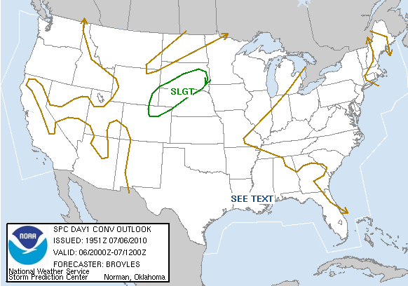
Storm Prediction Center Outlooks
 |
 |
 |
| SPC Day 1 Categorical Outlook | SPC Day 1 Tornado Outlook | SPC Day 1 Hail Outlook |
Storm Reports
 |
|
||||||||||
| July 6, 2010 Storm Reports |
 |
Media use of NWS Web News Stories is encouraged! Please acknowledge the NWS as the source of any news information accessed from this site. |
|


 Weather Story
 Weather Map
 Local Radar