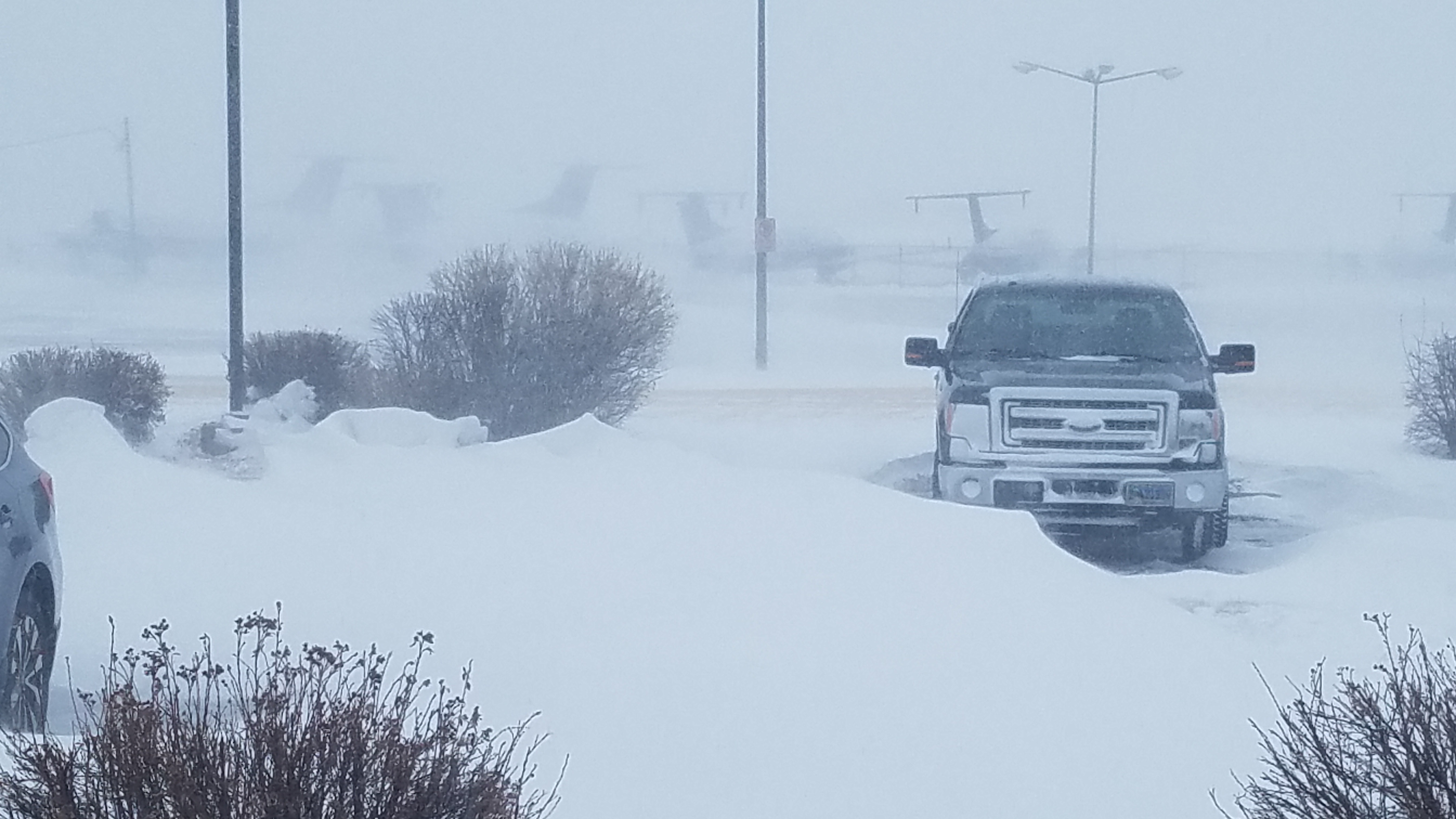
The National Weather Service in Cheyenne's parking Lot in the thick of the Blizzard Photo by MIC Jeff Garmon.
A record breaking Blizzard developed across portions of Colorado Wyoming and Nebraska on March 13th and 14th 2019. The record setting area of low pressure reached a minimum central pressure of 971 mb across eastern Colorado. This set an all time pressure record for the state. The "Bomb" Cyclone rapidly intensified from the evening of the 12th through the morning of the 13th. This rapid intensification brought extremely strong winds and very strong dynamic lift which generated extremely heavy snowfall over Wyoming and Nebraska. All highways through the Nebraska Panhandle and eastern Wyoming were closed for 36 hours due to the heavy snow. 6 National Weather Service Employees rode out the storm over 36 hours from the office, working in shifts to continue to update the forecast as other meteorologists could not make it in due to road closures. Below is a visible satellite image of the cyclone near maximum intensity on the afternoon of March 13th. Picture provided by Colorado State and CIRA RAMMB.

Snow amounts varied greatly across the Cheyenne County Warning area. Reports ranged from 8 to 12 inches across much of the plains to over 2 feet in some spots of the Laramie Range and the Nebraska Panhandle.


690
NWUS55 KCYS 140035
LSRCYS

PRELIMINARY LOCAL STORM REPORT
NATIONAL WEATHER SERVICE CHEYENNE WY
635 PM MDT WED MAR 13 2019

..TIME...   ...EVENT...      ...CITY LOCATION...     ...LAT.LON...
..DATE...   ....MAG....      ..COUNTY LOCATION..ST.. ...SOURCE....
            ..REMARKS..

0600 PM     HEAVY SNOW       NWS CHEYENNE            41.15N 104.81W
03/13/2019  M13.2 INCH       LARAMIE            WY   OFFICIAL NWS OBS


&&

$$

WM


 Weather Story
 Weather Map
 Local Radar