Overview
Thunderstorms developed and moved to the southeast of the northern Laramie Range during the afternoon of June 3, 2014. A cold front moved south through the Nebraska Panhandle during the morning, turning surface winds to the northwest. A very unstable environment existed, supportive of strong supercell thunderstorms. As the storms moved across the high plains and intensified, they produced baseball to softball size hail from Torrington, WY east to Bayard, NE.
Track Map:
 |
 |
|
||||||||||
|
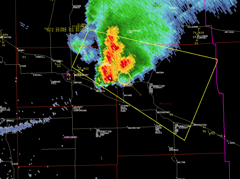
Radar reflectivity of the storm moving southeast along the WY/NE border at 5:07 PM.
|
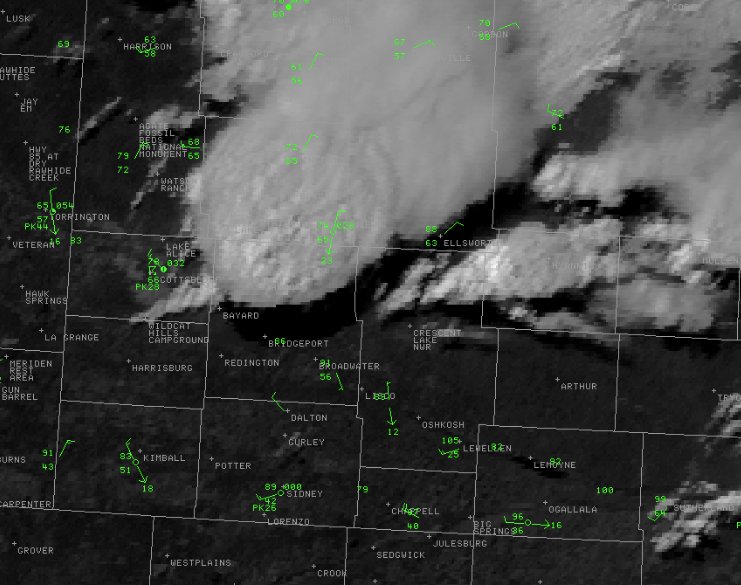
Visible satellite imagery at 5:00 PM |
Photos & Video:
 |
 |
|
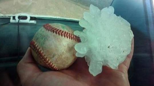
Baseball sized hail near Torrington, WY. (Dan Fitts) |
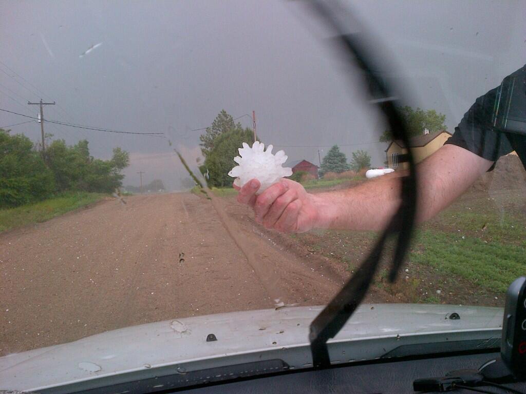
Softball size hail near Bayard, NE.. (Dan Fitts) |
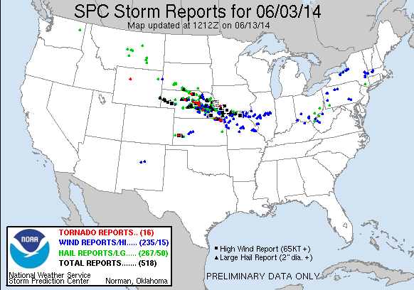
Storm Reports
 |
|


 Weather Story
 Weather Map
 Local Radar