Overview
| On December 12-13, 2022, a powerful upper level low pressure system crossed the Rockies and moved into the High Plains. A strong surface cyclone associated with this system delivered heavy snow and blizzard conditions to eastern Wyoming and the Nebraska panhandle. In the days following, the storm system slowly moved northeastward before stalling over the upper Midwest. As a result, strong north to northwest winds and temperatures well below freezing remained over the area for several consecutive days. Multiple days of near-blizzard to blizzard conditions with winds of 40 to 60 MPH or greater were observed, and high impact blowing snow continued for nearly five days after the initial onset of snow. Travel in the affected area was nearly impossible due to blowing and drifting snow until the winds finally abated on December 17. This storm was noteworthy for its snow accumulation and strong winds, but was most notable for its duration and lasting impacts.
|
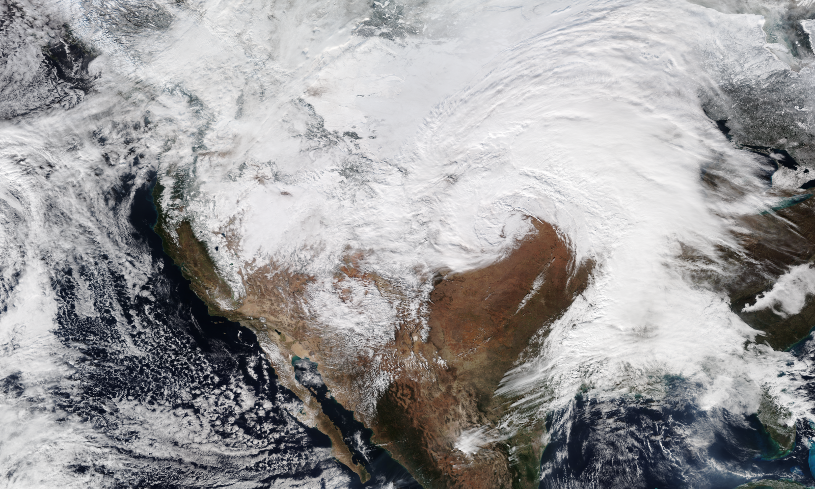 VIIRS True Color satellite image of the storm system over the Great Plains on December 13, 2022 |
Photos & Video
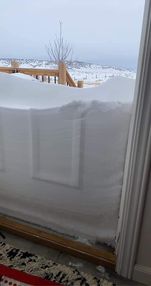
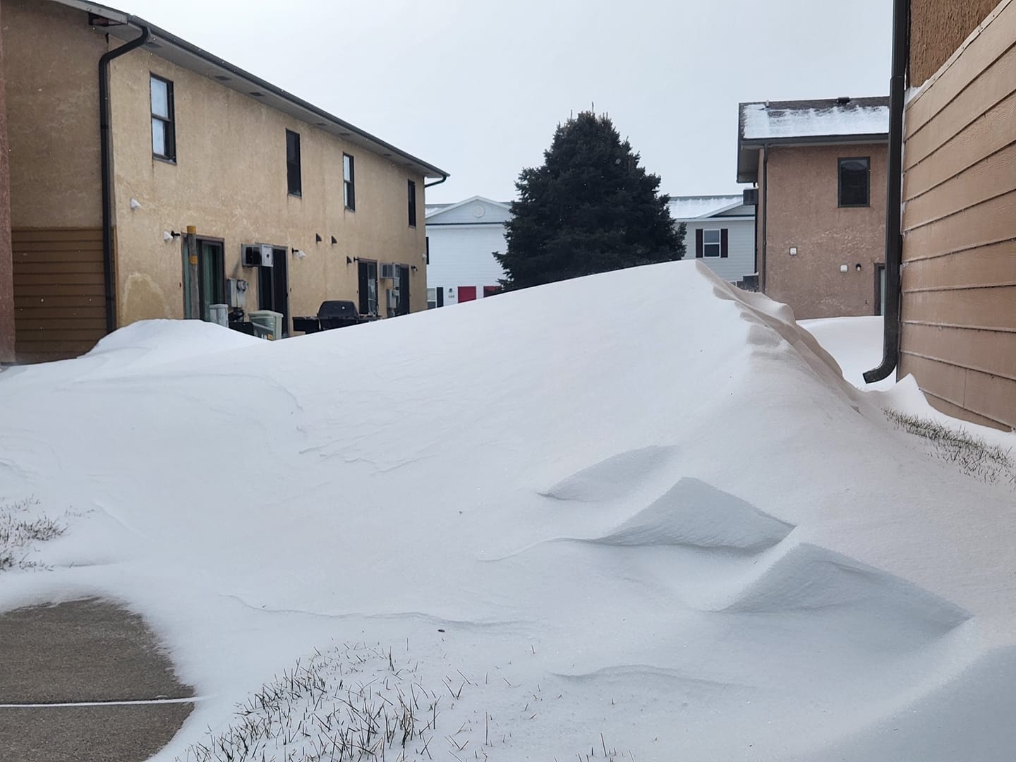
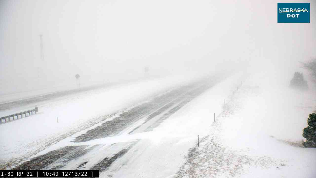
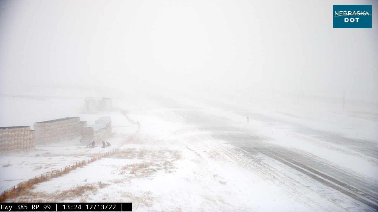
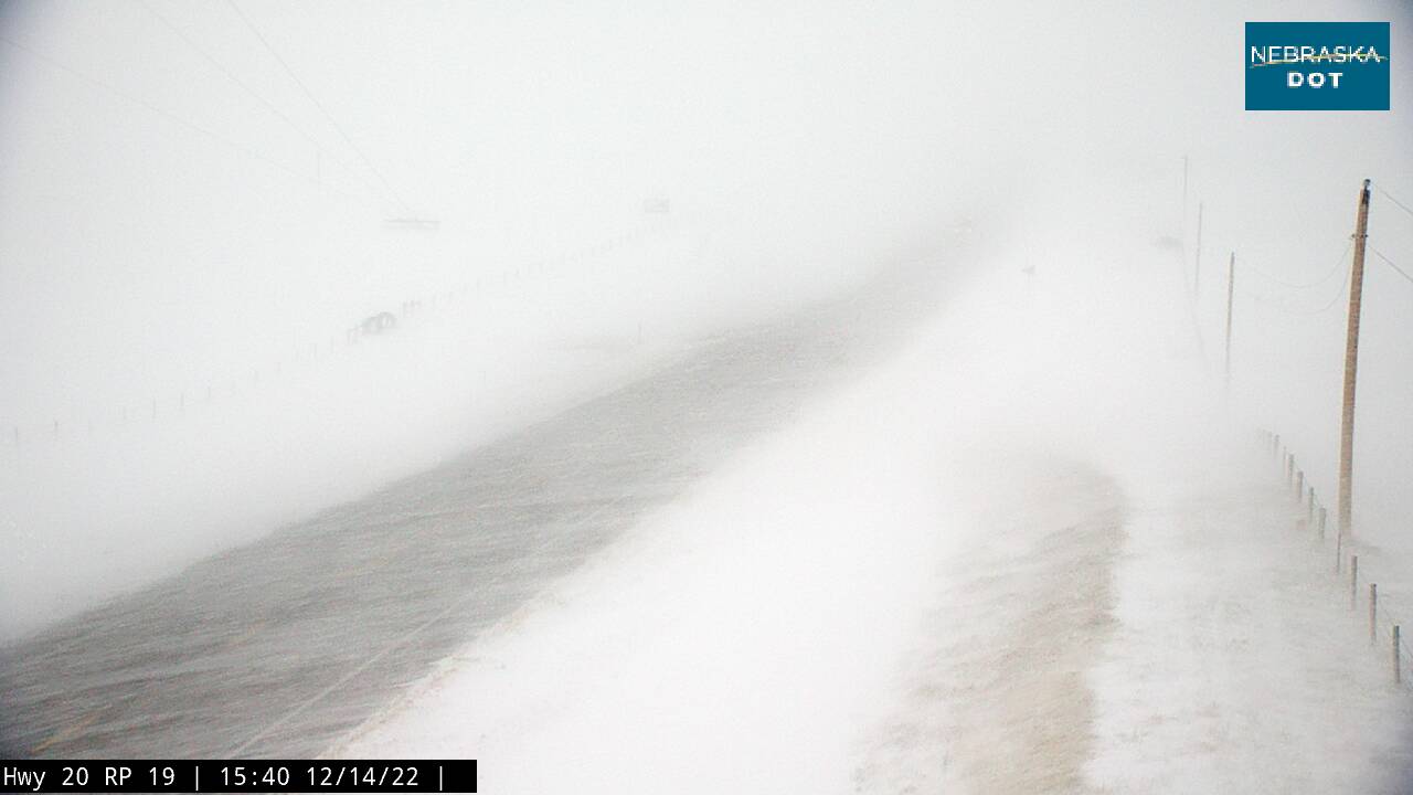
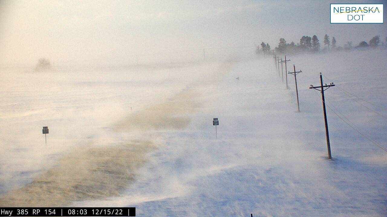
Public Photos and Highway Webcams from December 13-15, 2022
 |
 |
 |
 |
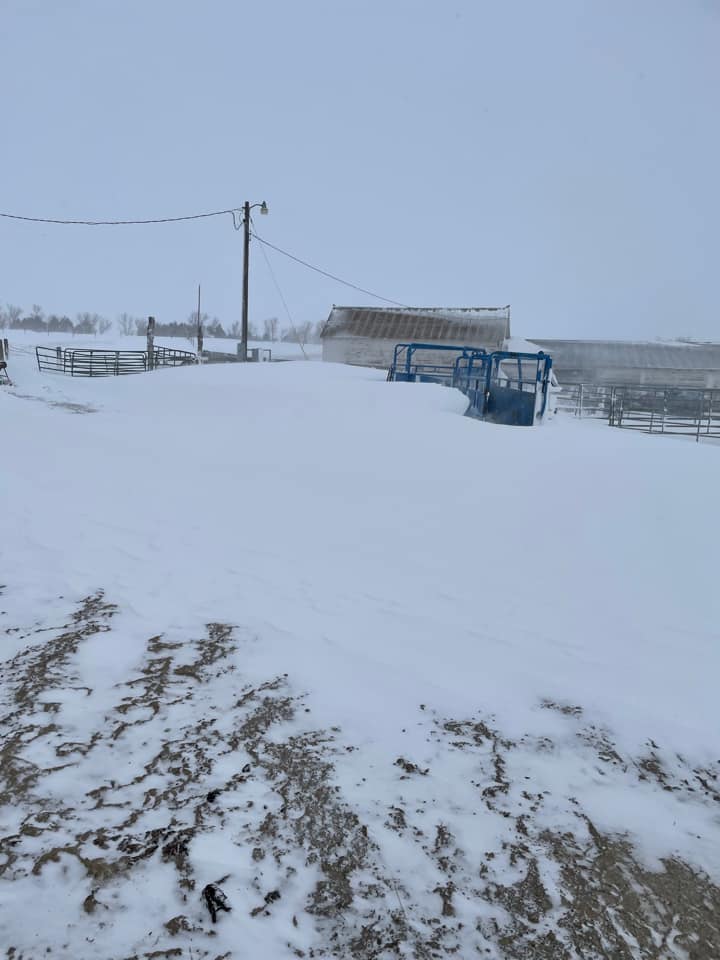
| Lusk, WY (Credit: Kaylee Barner) |
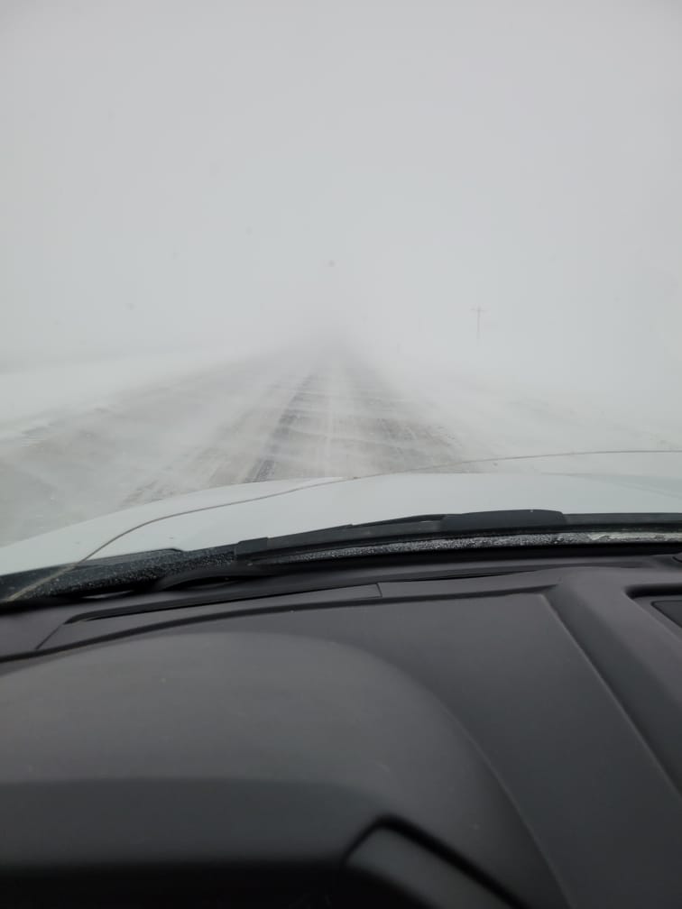
Highway 71 near Harrisburg (Credit: Kyle/Ann Hopkins) |
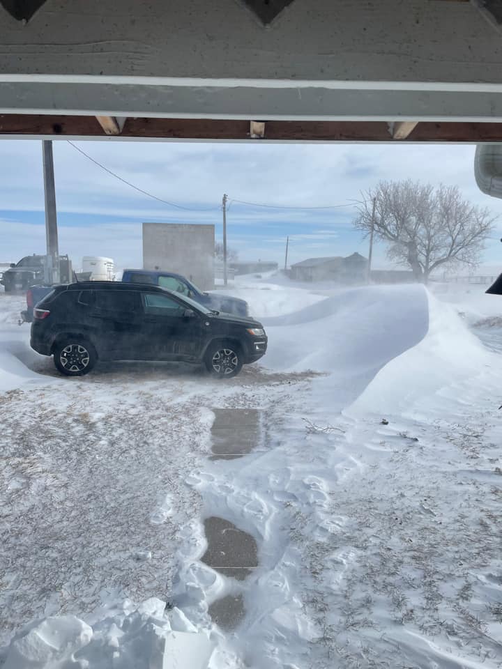
Angora, NE (Credit: Jennifer Fischer) |
Saratoga, WY (Credit: Annie Newton) |
 |
|
|
 |
| Scottsbluff, NE (Credit: Kye Abellera) |
Melbeta, NE (Credit: Dan Fitts) |
Near Chadron NE (Credit: Nebraska DOT) |
East of Kimball, NE (Credit: Nebraska DOT) |
 |
 |
 |
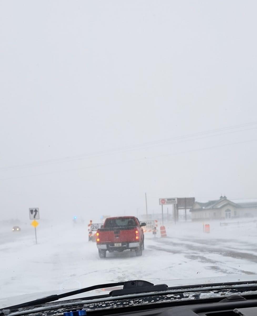 |
| South of Alliance, NE (Credit: Nebraska DOT) |
Near Harrison, NE (Credit: Nebraska DOT) |
Near Chadron NE, 12/15 (Credit: Nebraska DOT) |
Scottsbluff, NE (Credit: Nebraska DOT) |
|
|
|
Radar & Satellite
Radar and Satellite Imagery
|
\
|
|
|
|
|
Estimated Observed Snowfall
|
Estimated snowfall between 5AM 12/12/22 and 5AM 12/15/22. Data from NOHRSCv2. |
|
|
 |
Media use of NWS Web News Stories is encouraged! Please acknowledge the NWS as the source of any news information accessed from this site. |
 |