Cheyenne, WY
Weather Forecast Office
Overview
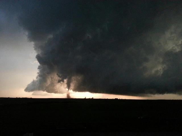
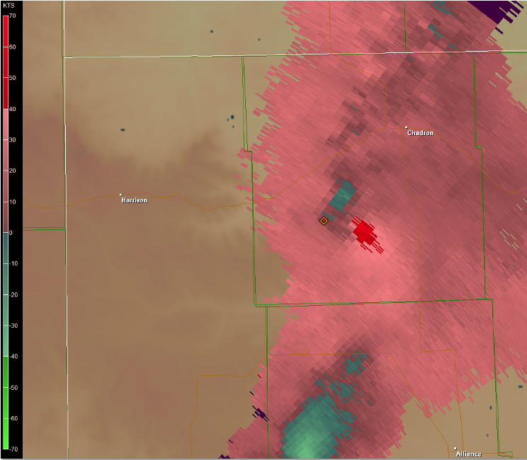
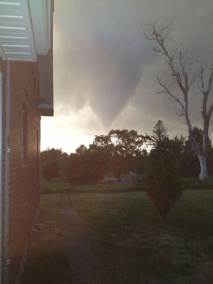
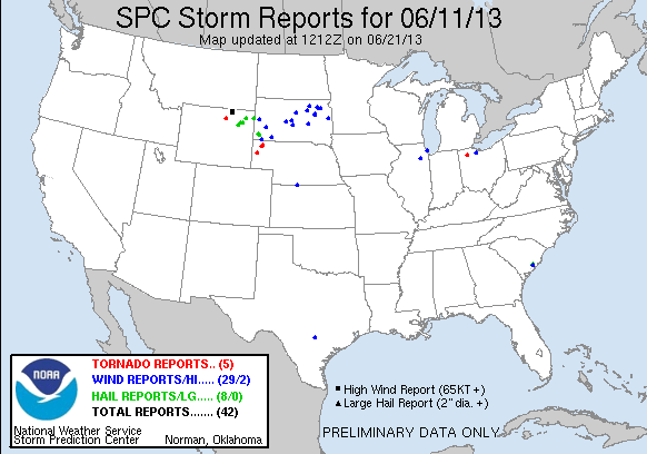
During the early afternoon of June 11, 2013, the Storm Prediction Center placed the Chadron/Alliance, Nebraska areas into a SLIGHT risk for severe thunderstorms. A dry line with dew points in the 50s across western Nebraska provided the instability for thunderstorm,development. Beginning around 7 PM, thunderstorms began to form across the northern Nebraska Panhandle. By 830 PM, a supercell moved northeast just south of Crawford, NE and produced an EF-1 tornado.
Track Map:
 |
 |
|
||||||||||
|
Photo taken as tornado touched down. |
Circulation in storm relative velocity as tornado developed. |
Enhanced Fujita (EF) Scale classifies tornadoes into the following categories:
| EF0 Weak 65-85 mph |
EF1 Moderate 86-110 mph |
EF2 Significant 111-135 mph |
EF3 Severe 136-165 mph |
EF4 Extreme 166-200 mph |
EF5 Catastrophic 200+ mph |
 |
|||||
Photos & Video:
 |
 |
 |
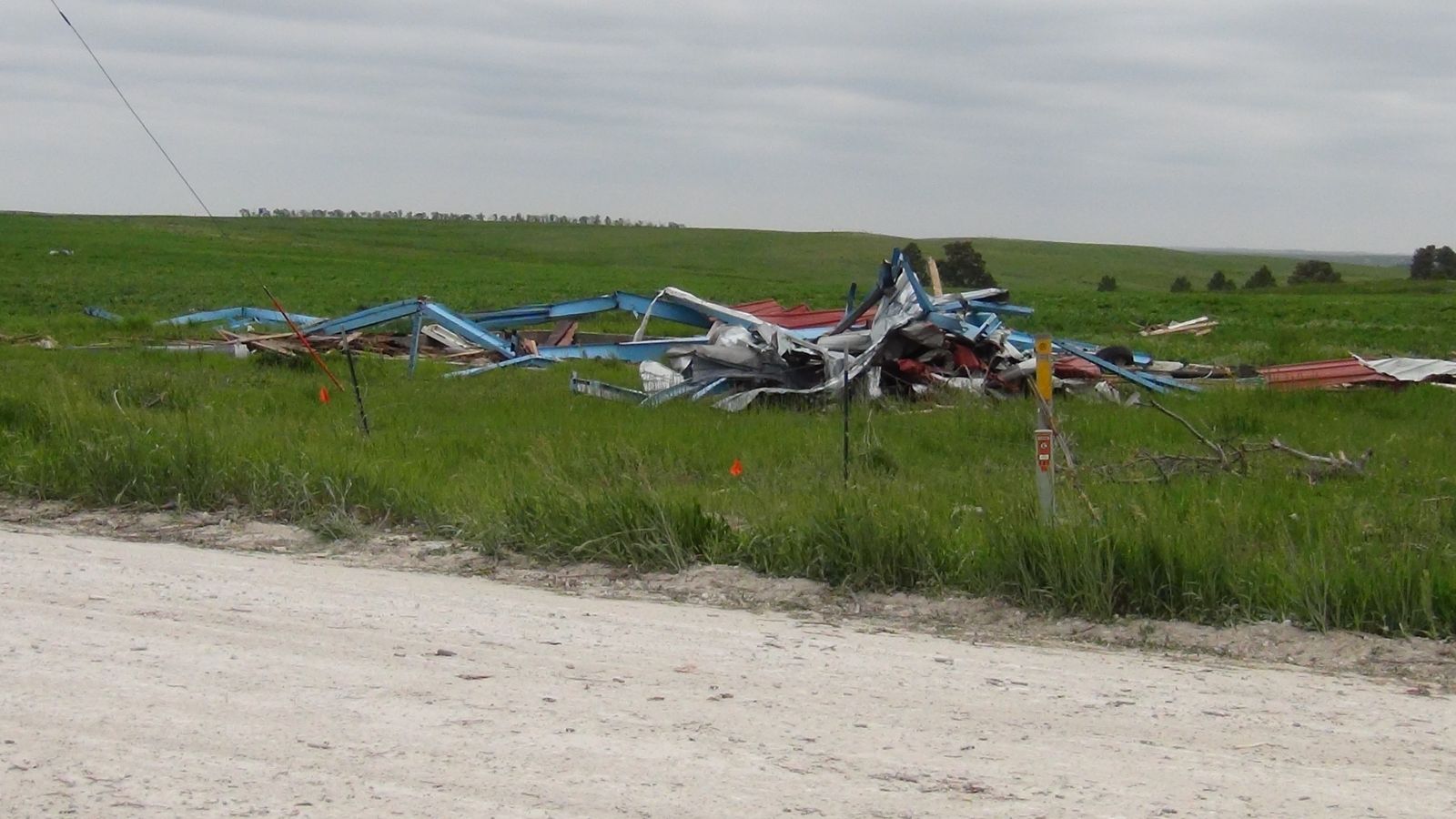 |
| Picture of the storm, off of Highway 71. | Tornado Damage | Tornado Damage |
Tornado Damage |
Storm Reports
 |
|
US Dept of Commerce
National Oceanic and Atmospheric Administration
National Weather Service
Cheyenne, WY
1301 Airport Parkway
Cheyenne, WY 82001-1549
307-772-2468
Comments? Questions? Please Contact Us.


 Weather Story
 Weather Map
 Local Radar