|
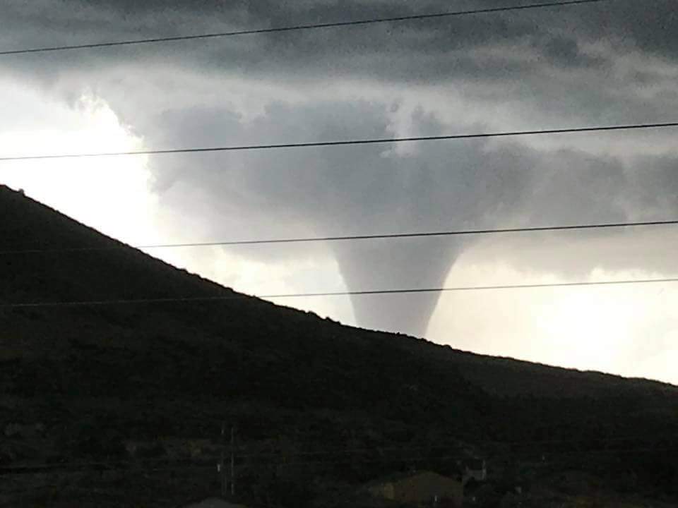
On the afternoon of July 28, 2018, a large supercell formed across southern Converse County in southeast Wyoming producing two tornadoes that affected areas south of Douglas, Wyoming. The storm produced two confirmed tornadoes between 4:00 PM MDT and 4:30 PM MDT with additional details on each tornado in the sections below. |
Storm as it crossed Interstate 25 near the Whitaker Exit.
|
|
|
 |
|
|
Supercell Thunderstorm West of Cheyenne Credit: Jacob Deflitch |
Tornado near Federal Credit: Dan Fitts |
|
Tornadoes:
|
Tornado - South of Douglas, WY
Track Map
|
||||||||||||||||
|
Tornado # 2 - South of Douglas, WY 12 miles south-southwest of Douglas in far southeast Converse County
Track Map
|
||||||||||||||||
The Enhanced Fujita (EF) Scale classifies tornadoes into the following categories:
| EF0 Weak 65-85 mph |
EF1 Moderate 86-110 mph |
EF2 Significant 111-135 mph |
EF3 Severe 136-165 mph |
EF4 Extreme 166-200 mph |
EF5 Catastrophic 200+ mph |
 |
|||||
Photos & Video:
Click Image to Enlarge
 |
 |
|
Near Vedauwoo |
Northwest of Cheyenne Credit: Jason Stroup |
Storm Reports
 |
 |
 |
 |
|
Home Destroyed |
Home Damaged Federal, WY |
Homes Destroyed Federal, WY |
Circular Debris Damage Federal, WY |
|
Aerial views courtesy of Laramie County Emergency Management Agency |
|||
 |
Media use of NWS Web News Stories is encouraged! Please acknowledge the NWS as the source of any news information accessed from this site. |
 |