An isolated supercell thunderstorm developed in central Albany
County about 8 miles north of Laramie during the late afternoon on
06/06/18. The storm initially produced a tornado 3 to 4 miles
west of Highway 30. The tornado tracked east across Highway 30 and
intensified rapidly moving through mainly open fields. Numerous
wooden power poles were snapped along County Road 121, along with
several galvanized steel utility poles which were bent 90 degrees
at the base. Grass was scoured out of the ground in a wide swath
approximately one third of a mile in width near the intersection
of County Road 121 and Cattle Drive. This is consistent with an
EF-3 tornado. The tornado was observed to continue east up into
the Laramie Range near King Mountain Road for a period of over 45
minutes.

A satellite tornado developed 2 miles to the south of the parent
tornado. This tornado damaged treetops and caused significant
structural damage to a well-built attached garage, which
collapsed as it lifted off the foundation and shifted to the
east. The damage to the garage was consistent with an EF-2
tornado. In addition, several nearby structures had minor damage
to siding and shingles. The tornado was observed moving through
the Antelope Ridge Loop subdivision, 6 miles north of Laramie, and
into open country.
Tornadoes:
|
Tornado #1 (Main Tornado)
Track Map
-Page Under Construction-
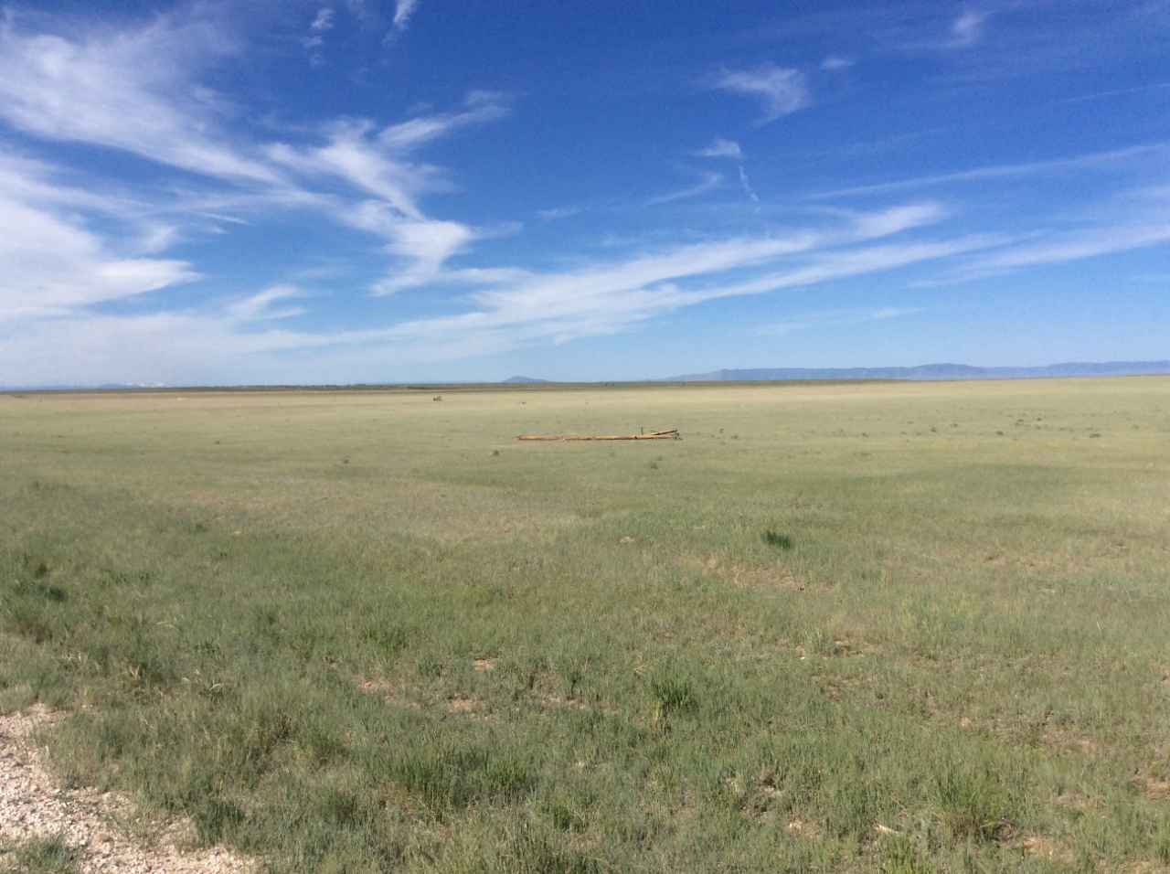
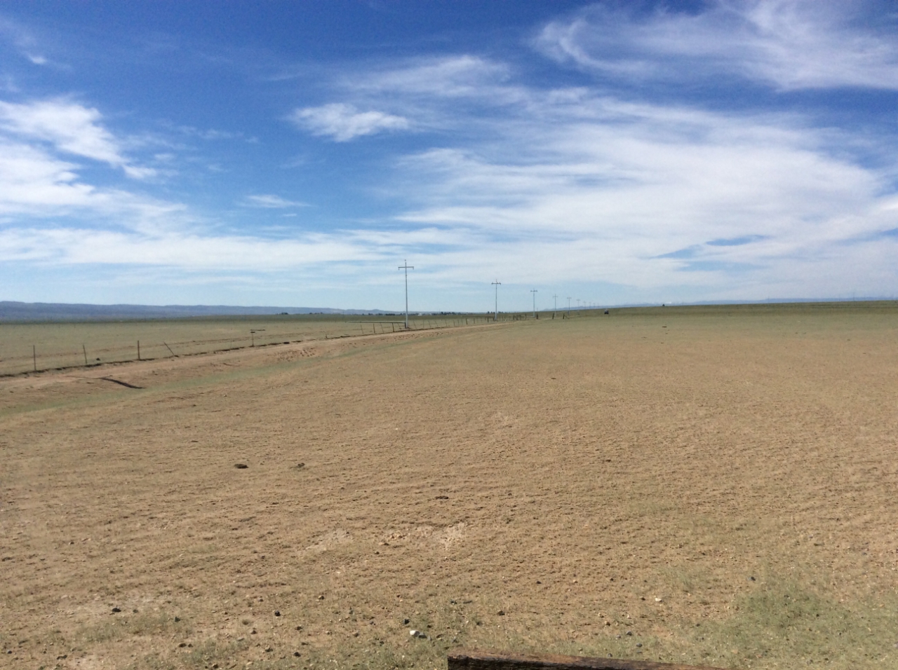
(1) Power Poles snapped and thrown 50 yards along County road 121.
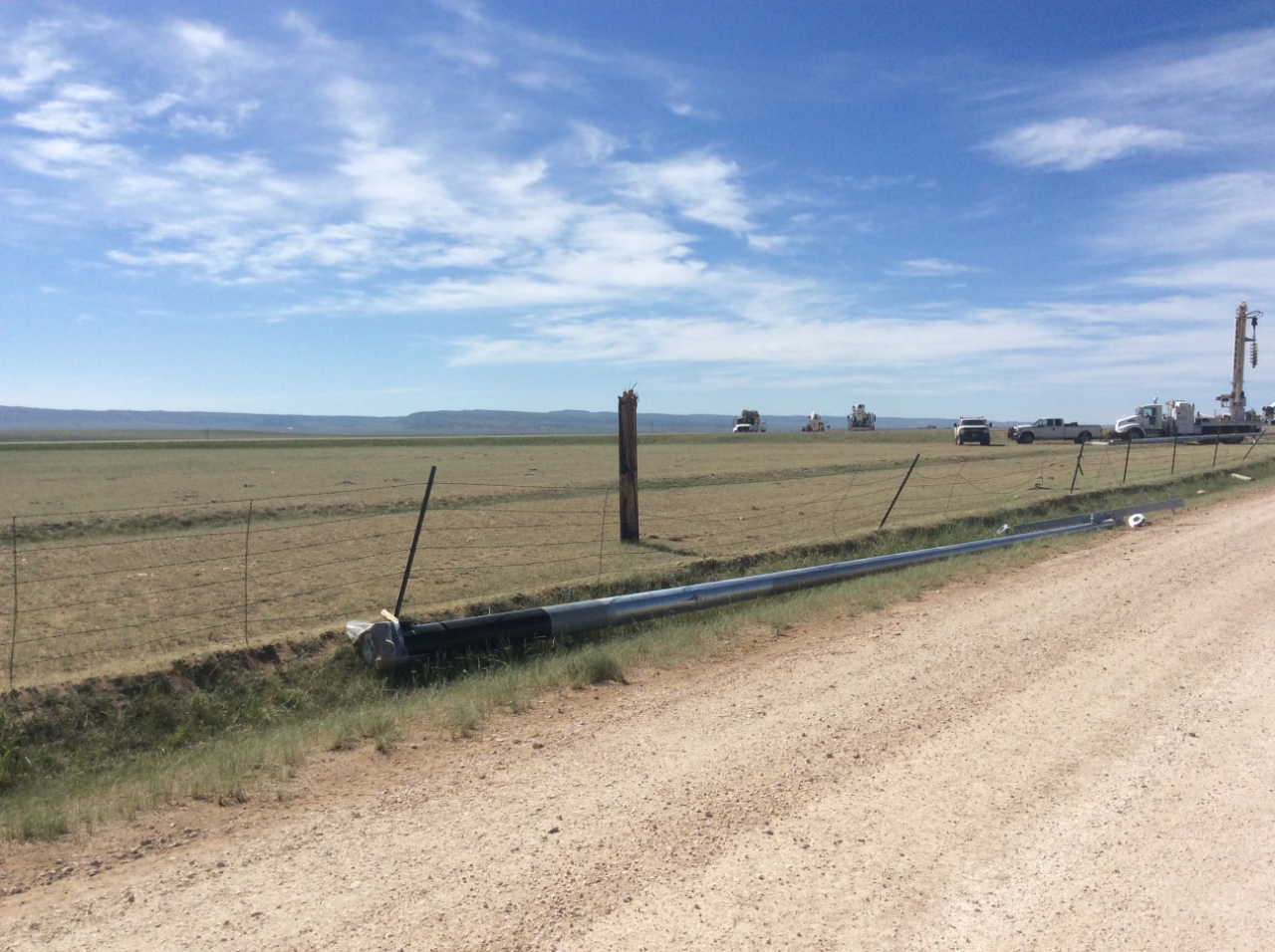
(2) Power pole and fence damage along County Road 121 and Cattle Drive.
(3) Steel power poles bent and snapped and grass scoured along County road 121. |
||||||||||||||||
|
Tornado #2 (Satellite Tornado)
Track Map
-Page Under Construction-
Downloadable KMZ File
(1) Damaged garage in the Antelope Ridge Loop Subdivision.
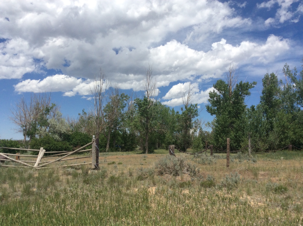
(2) Small Branches broken west of Highway 30 and Howell Road. |
||||||||||||||||
The Enhanced Fujita (EF) Scale classifies tornadoes into the following categories:
| EF0 Weak 65-85 mph |
EF1 Moderate 86-110 mph |
EF2 Significant 111-135 mph |
EF3 Severe 136-165 mph |
EF4 Extreme 166-200 mph |
EF5 Catastrophic 200+ mph |
 |
|||||
 |
Media use of NWS Web News Stories is encouraged! Please acknowledge the NWS as the source of any news information accessed from this site. |
|


 Weather Story
 Weather Map
 Local Radar