
A Pacific storm system will continue to bring low elevation rain and mountain snow to much of the West through Wednesday, with heavy mountain snow expected in the higher elevations of the Sierra Nevada. This system will also bring strong winds to the Intermountain West, Rockies, and Plains, which will create Critical fire weather conditions for the High Plains. Read More >
| MONDAY | TUESDAY | WEDNESDAY | THURSDAY | FRIDAY |
 |
||
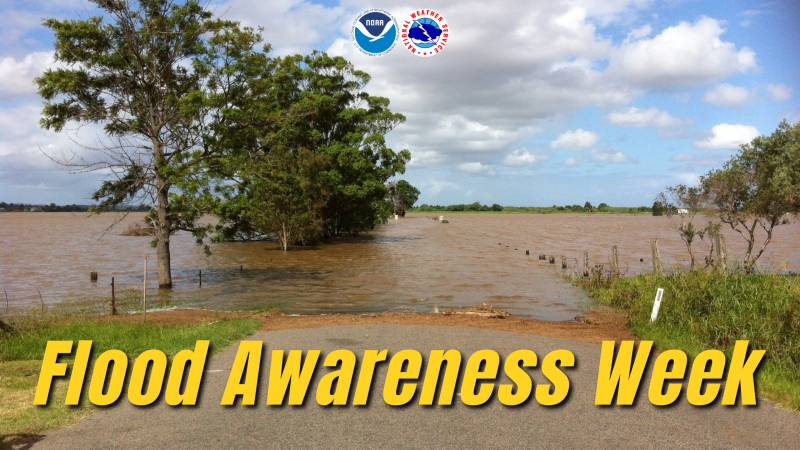
Flood PreparednessIs flooding really that big of a deal? Flooding causes more damage in the united states than any other weather related event, an average of $5.2 billion dollars per year over the past 20 years. Flooding can occur in any of the 50 states or US territories during any time of the year. Flooding is a coast-to-coast threat to some part of the United States and its territories nearly every day of the year. This site is designed to teach you how to stay safe in a flood event. If you know what to do before, during, and after a flood you can increase your chances of survival and better protect your property. For instance, it is vital to know what to do if you are driving and hit a flooded road. Here you will find an interactive flood map, information describing the different types of flooding and educational material. You will also learn how the National Weather Service keeps you aware of potentially dangerous flooding situations through alerts and warnings. Learn how to better protect yourself and your family by reading our flood survivor stories. If you, or someone you know, have been a victim of a flood, please share your story so we can prevent others from becoming a victim. When you write, please note that NWS has permission to use your story and, if possible, let us know the town and state you were in and the year the event took place.
How can I find out if I am in danger from a flood? Local news, television, and social media are all good ways to receive flood alerts and flooding information. NOAA Weather Radio All Hazards is one of the best ways to receive warnings from the National Weather Service. NOAA Weather Radio All Hazards is a nationwide network of radio stations broadcasting continuous weather and river information direct from nearby NWS offices. The NWPS web page identifies where flooding is occurring. Is there anything I can do to prepare for a flood? Information on how you can reduce potential flood damage and what to include in a family disaster plan can be obtained from the American Red Cross. The NWS works with, and relies on, strategic partners involved in floodplain management, flood hazard mitigation, and flood preparedness to reduce the loss of life and property due to floods.
When flooding threatens, listen to NOAA Weather Radio or your favorite media outlet for warnings and statements. These warnings and statements contain information about specific locations that will be impacted and the threats that are expected due to the flooding. TOPICS FOR THE REST OF FLOOD SAFETY AWARENESS WEEK:
|
||
 |
||
T.A.D.D. (Turn Around, Don't Drown!)
Turn around don't drown is a NOAA National Weather Service campaign to warn people of the hazards of walking through or driving a vehicle through flood waters. Why is turn around don't drown so important? Each year, more deaths occur due to flooding than from any other severe weather related hazard. The main reason is that people underestimate the force and power of water. More than half of all flood related deaths result from vehicles being swept downstream. Many of these deaths are preventable. What can I do to avoid getting caught is this situation? Follow these safety rules:
TOPICS FOR THE REST OF FLOOD SAFETY AWARENESS WEEK:
|
||
 |
||
Flood Information
For river forecasts and observations, use the National Water Prediction Service. What is NWPS? The National Water Prediction Service, or NWPS, is the National Weather Service's ongoing effort to modernize our hydrologic services. NWPS provides improved river and flood forecasts, water information across America to protect life and property, and to ensure the nation's economic well-being. NWPS graphical products are available at our web site, click on the rivers and lakes link!
Who can benefit from NWPS? Everyone who makes decisions based on water including farmers, river boat pilots, emergency managers, municipal water supply officials, recreational boaters and water skiers, fishermen, and dam operators. All of these people can all benefit from NWPS.
What will NWPS do for me? Because every minute counts, NWPS will help emergency managers be more proactive to "fight" a flood. NWPS provides information for community leaders and business owners to make better life-saving decisions about evacuating people or moving property before a flood. The navigation community will be able to plan with better confidence and optimize barge and shipping operations, saving millions of dollars each year. Recreational users will be able to stay out of harm's way. NWPS, with its suite of enhanced information, provides the public with more detailed and accurate answers to the following questions: How high will the rivers rise? When will the river reach its peak? Where will the flooding occur? How long will the flood last? How long will the drought last? How certain is the forecast?
TOPICS FOR THE REST OF FLOOD SAFETY AWARENESS WEEK:
|
||
 |
||
Flooding - Causes and Severity
There are two main ways that flooding typically develops in Pennsylvania. First, excessive rainfall: Too much rain will fall in a specific amount of time, overwhelming the creeks and streams and filling the rivers. The causes for this excessive rain vary greatly. Widespread heavy rain to the north of a warm front, slow moving thunderstorms, and tropical cyclones are the chief causes of excessive rainfall in Pennsylvania. Second, snow melt combined with rainfall: During the winter and early spring, when there is snow on the ground, the water content of the snow is released and runs off into the waterways when it melts due to rapidly warming temperatures, rain falling on the snow, or both.
Let us take a closer look at tropical cyclones: Tropical cyclones are prolific producers of rainfall and often create flooding when they move inland. When it comes to tropical cyclones, which is the generic term for a hurricane, typhoon, or tropical storm, the wind speeds do not tell the whole story. Intense rainfall not directly related to the wind speed of a tropical cyclone often causes more damage. Since the 1970s, inland flooding has been responsible for more than half of the deaths associated with tropical cyclones in the United States. Typically, greater rainfall amounts and flooding are associated with tropical cyclones that have a slow forward speed or stall over an area.
What do I need to know about inland flooding from tropical cyclones? Inland freshwater floods accounted for more than half of U.S. tropical cyclone deaths over the past 30 years. Rainfall is typically heavier with slower-moving storms as slower-moving tropical cyclones allow heavy rain to persist for an extended period of time over a location.
What types of inland flooding are caused by tropical cyclones? Both flash flooding and longer-lasting river flooding can result. Flash flooding occurs in creeks, streams, and urban areas within a few minutes or hours of excessive rainfall. Streets can become swift moving rivers and underpasses can become death traps. River flooding occurs from prolonged heavy rains associated with decaying hurricanes or tropical storms, and in extreme cases river floods can last a week or more.
How do I know how severe a flood will be? Within flood warning products, the NWS conveys the magnitude of observed or forecast flooding using flood severity categories. These flood severity categories include minor flooding, moderate flooding, and major flooding. Each category has a definition based on property damage and public threat.
The definitions of flood severity: Minor flooding: minimal property damage. Some public threat or inconvenience. Moderate flooding: some inundation of structures and roads near streams. Some evacuations of people and/or transfer of property to higher elevations are necessary. Major flooding: extensive inundation of structures and roads. Significant evacuations of people and/or transfer of property to higher elevations. The effects of floods vary locally. For each NWS river forecast location, flood stage and the stage associated with each of the NWS flood severity categories are established in cooperation with local public officials. Increasing river levels above flood stage constitute minor, moderate, and major flooding. Impacts vary from one river location to another because a certain river stage (also known as river height) in one location may have an entirely different impact than the same level above flood stage at another location. You are encouraged to use the regular tone-alert tests on the NOAA Weather Radio transmitters today to practice flood safety drills and procedures at your home or business.
TOPICS FOR THE REST OF FLOOD SAFETY AWARENESS WEEK:
|
||
 |
||
Flood Alerts
What is the difference between a Flood Watch and a Flood Warning issued by the National Weather Service?
PLEASE REMEMBER TO PRACTICE FLOOD SAFETY ALL YEAR LONG, AS FLOODING CAN HAPPEN DURING ANY SEASON.
|
||
PDF Resources: Floods, The Awesome Power Brochure -- Red Cross Flood Safety Checklist Brochure