|
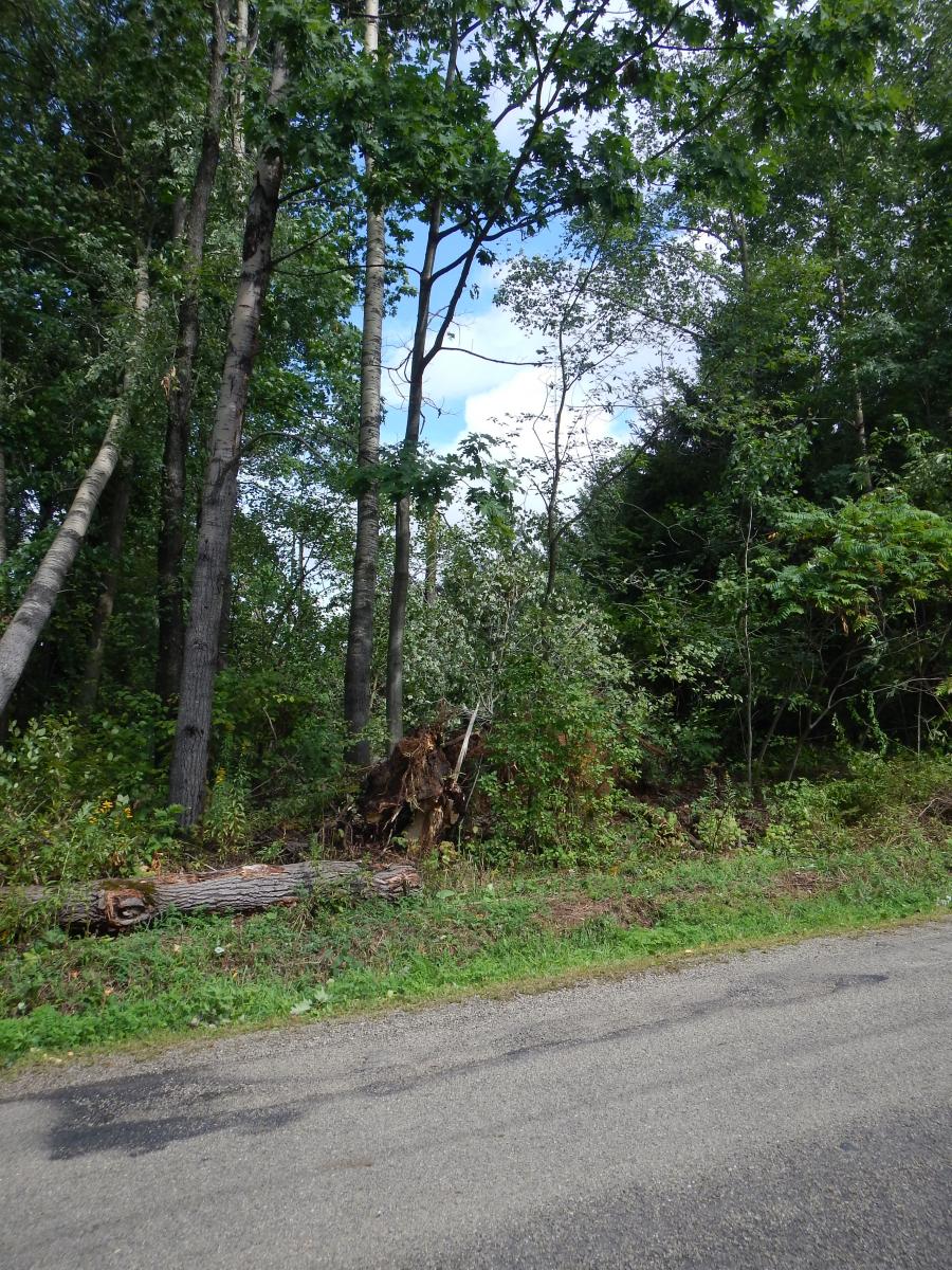
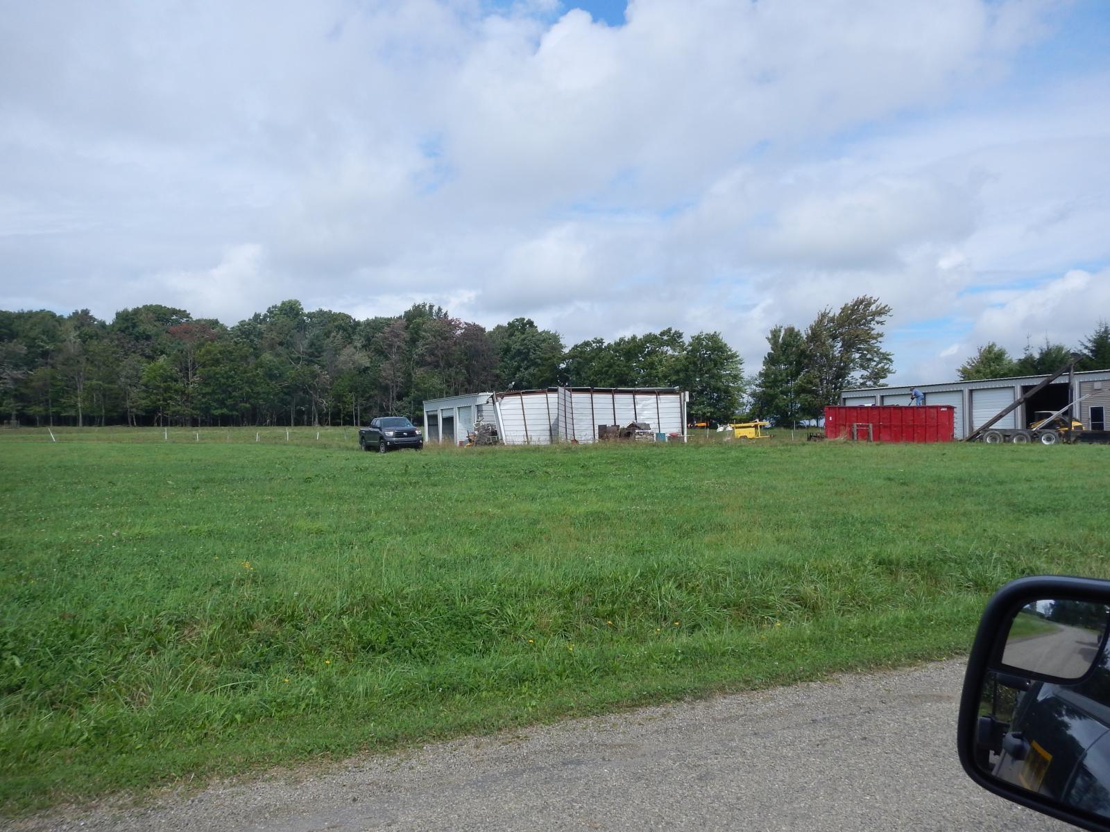
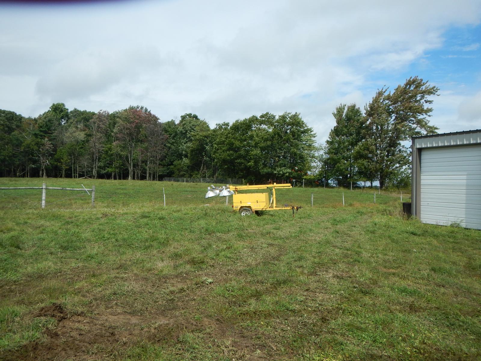
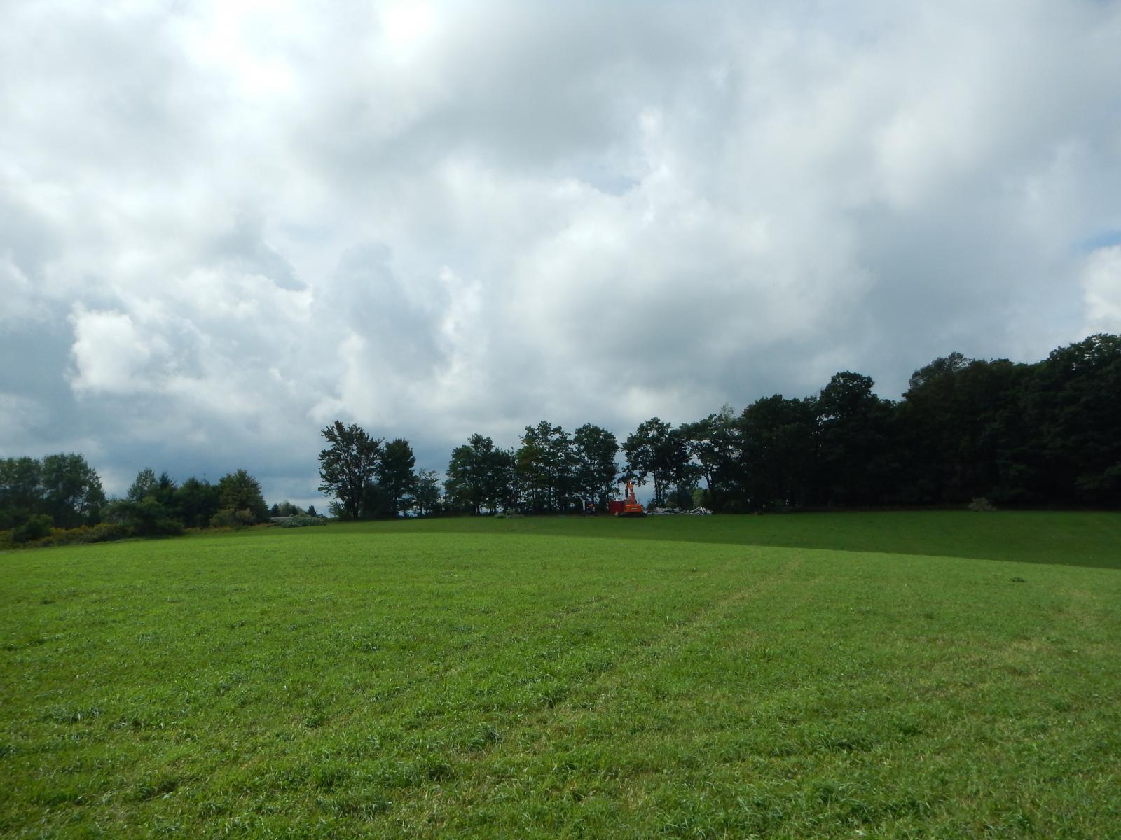
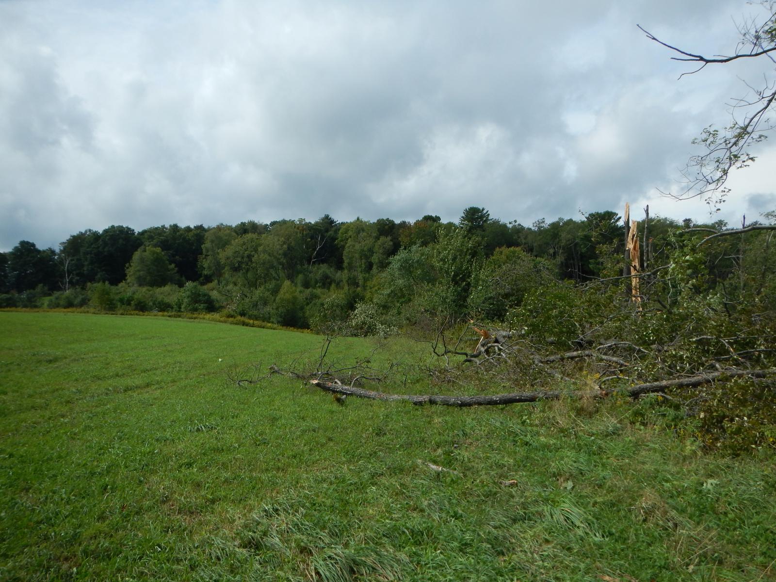
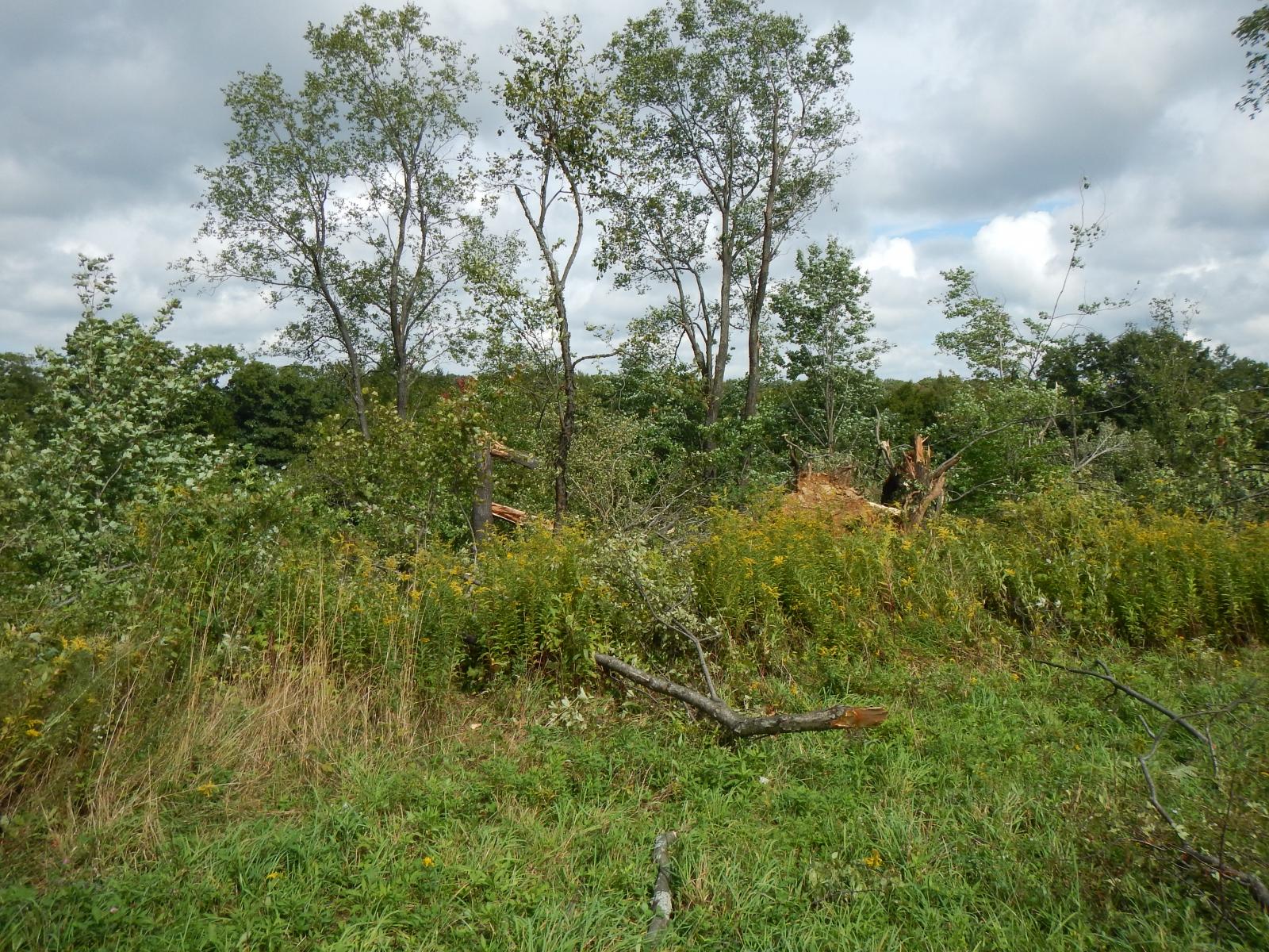
10/6/2016 Damage from a thunderstorm which occurred on the evening on Sept 17th, 2016 was surveyed by the National Weather Service and representatives of Warren County and local Emergency Management. The survey team determined that the damage was due to a tornado. The tornado began at 6:35 PM less than a quarter of a mile to the southeast of the intersection of Scandia and Peterson Rds. The tornado damage was mainly tree damage, with sporadic trees down along the path. Most of the damage was in the EF0 category, with lots of trees snapped off a few feet above the ground and many uprooted. Half of a very large metal equipment garage which was bolted to the concrete was torn away and moved 150 to 200 yards to the north into a tree line. A similar building only a few yards away from the damaged building sustained very little damage. The damage to the building is consistent with an EF1 tornado with a peak wind speed of 110 MPH. Multiple funnel clouds (sometimes known as "sisters") were observed lifting at 6:45 PM over residences along the northern side of Peterson Rd. This report is consistent with what was likely a multiple-vortex tornado. This conclusion is also supported by the findings of the locations of damage made by the survey team. The damage locations exhibit what may be two or three closely-related swaths of damage (see map below). Additional tree damage occurred to the northeast of the eyewitness report of the funnels lifting. The end-point of the damage was determined using GPS locations and photographs of damage from residents who documented the damage which occurred along trails leading to the North Branch of Hodge Run. See the map below (click to see the whole image) for more details. |
 |
 |
 |
 |
 |
 |
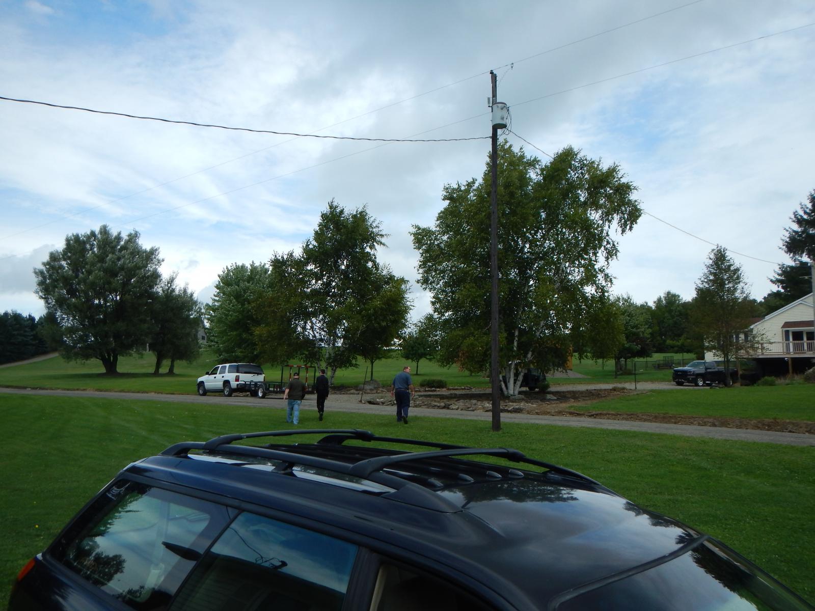 |
Damage in Scandia, PA |