Overview
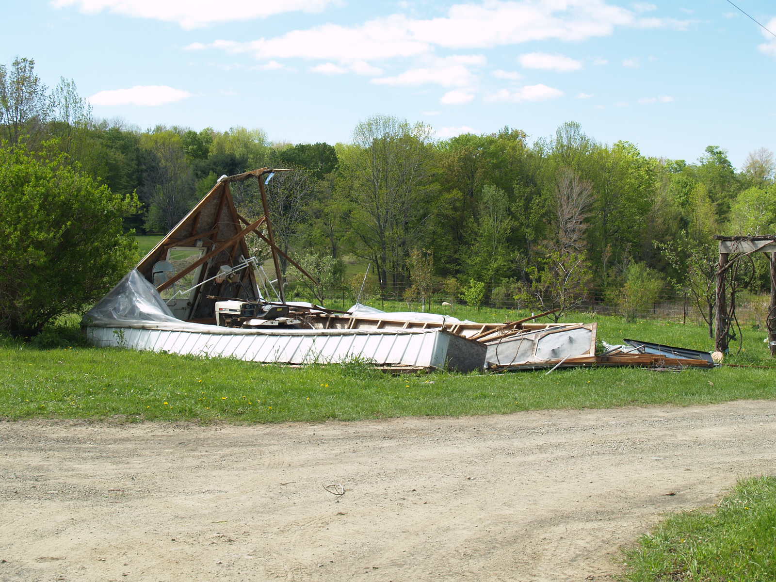
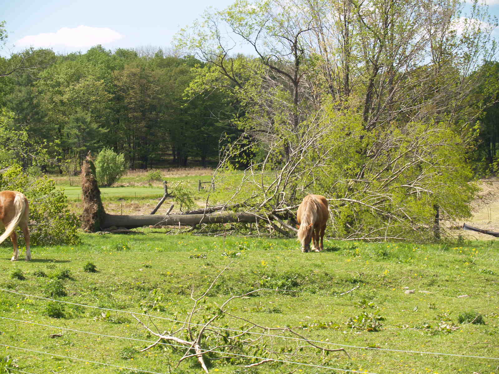
A severe weather event occurred on May 16, 2009 producing damaging winds across the northern and southeastern sections of Central Pennsylvania. This event was caused by a sharp cold front slicing into moist unstable air. There were two phases of severe weather with this event with the first portion occurring across the north from early to mid afternoon and a second burst of activity during the evening hours. Most of the reports of damage came from this second round of activity.
 |
 |
 |
Storm Reports
PRELIMINARY LOCAL STORM REPORT...CORRECTED
NATIONAL WEATHER SERVICE STATE COLLEGE PA
1048 PM EDT SAT MAY 16 2009

..TIME...   ...EVENT...      ...CITY LOCATION...     ...LAT.LON...
..DATE...   ....MAG....      ..COUNTY LOCATION..ST.. ...SOURCE....
            ..REMARKS..

0445 PM     TSTM WND DMG     MILLERTON               41.98N 76.95W
05/16/2009                   TIOGA              PA   EMERGENCY MNGR

            TREES/WIRES DOWN

0720 PM     TSTM WND DMG     DAUPHIN                 40.37N 76.93W
05/16/2009                   DAUPHIN            PA   EMERGENCY MNGR

            TREES DOWN

0735 PM     TSTM WND DMG     2 SE ELIZABETHVILLE     40.53N 76.79W
05/16/2009                   DAUPHIN            PA   EMERGENCY MNGR

            TREES AND WIRES DOWN

0750 PM     TSTM WND DMG     TOWER CITY              40.59N 76.55W
05/16/2009                   SCHUYLKILL         PA   EMERGENCY MNGR

            SEVERAL TREES DOWN ALONG ROUTE 209

0817 PM     TSTM WND DMG     SCHUYLKILL HAVEN        40.63N 76.17W
05/16/2009                   SCHUYLKILL         PA   EMERGENCY MNGR

            NUMEROUS TREES DOWN AND POWER OUTAGES

0835 PM     TSTM WND DMG     TUSCARORA               40.76N 76.06W
05/16/2009                   SCHUYLKILL         PA   EMERGENCY MNGR

            NUMEROUS TREES DOWN AND POWER OUTAGES BETWEEN TUSCARORA
            AND NEW RINGGOLD
 |
Media use of NWS Web News Stories is encouraged! Please acknowledge the NWS as the source of any news information accessed from this site. |
 |