State College, PA
Weather Forecast Office
Overview
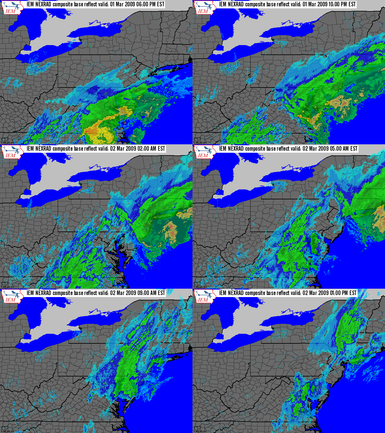
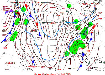
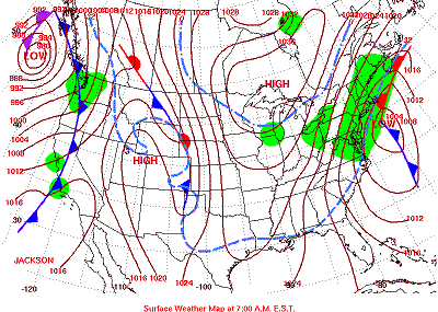
A low pressure area began to form over the Southeastern United States on Sunday, the 1st of March, 2009. The storm then deepened as it moved over Cape Hatteras, NC, and out into the Western Atlantic Ocean on Sunday Night. Two areas of snow rode along the Eastern Seaboard and brushed Southeastern PA, especially the Philadelphia Metro Area, with some deep snow.
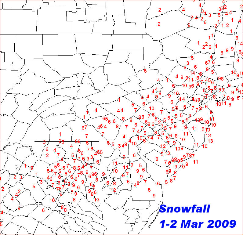
The first batch of snow, which hit during the early part of Sunday Night, just barely produced an inch or two of snowfall in Lancaster and York Counties. By Monday Morning, there was only an inch of new snow in Hershey, and generally between 1 and 4 inches in Lancaster and York Counties (New Holland 2, Hanover 4.2).
The second batch of snow hit right around sunrise on Monday morning, and produced another 1-4 inches across the area South and East of Harrisburg. This brought storm totals up to almost 8 inches in southern parts of Lancaster and York Counties, with nearly nothing just to the northwest of Harrisburg.
 |
 |
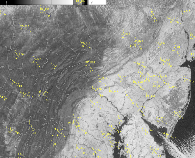 |
| Snow Totals from the 1st-2nd of March, 2009, Map courtesy John LaCorte | Radar Composite Loop from 8PM EST 1 March 2009 through 1PM EST 2 March 2009 | Visible Satellite Picture from the morning of March 3rd (clear skies, snow pack) |
 |
 |
|
| Surface Maps from the morning of the 1st and 2nd of March, 2009 | Surface Maps from the morning of the 1st and 2nd of March, 2009 |
 |
Media use of NWS Web News Stories is encouraged! Please acknowledge the NWS as the source of any news information accessed from this site. |
 |
US Dept of Commerce
National Oceanic and Atmospheric Administration
National Weather Service
State College, PA
328 Innovation Blvd, Suite 330
State College, PA 16803
(814)954-6440
Comments? Questions? Please Contact Us.


 Send Us a Report