State College, PA
Weather Forecast Office
Overview
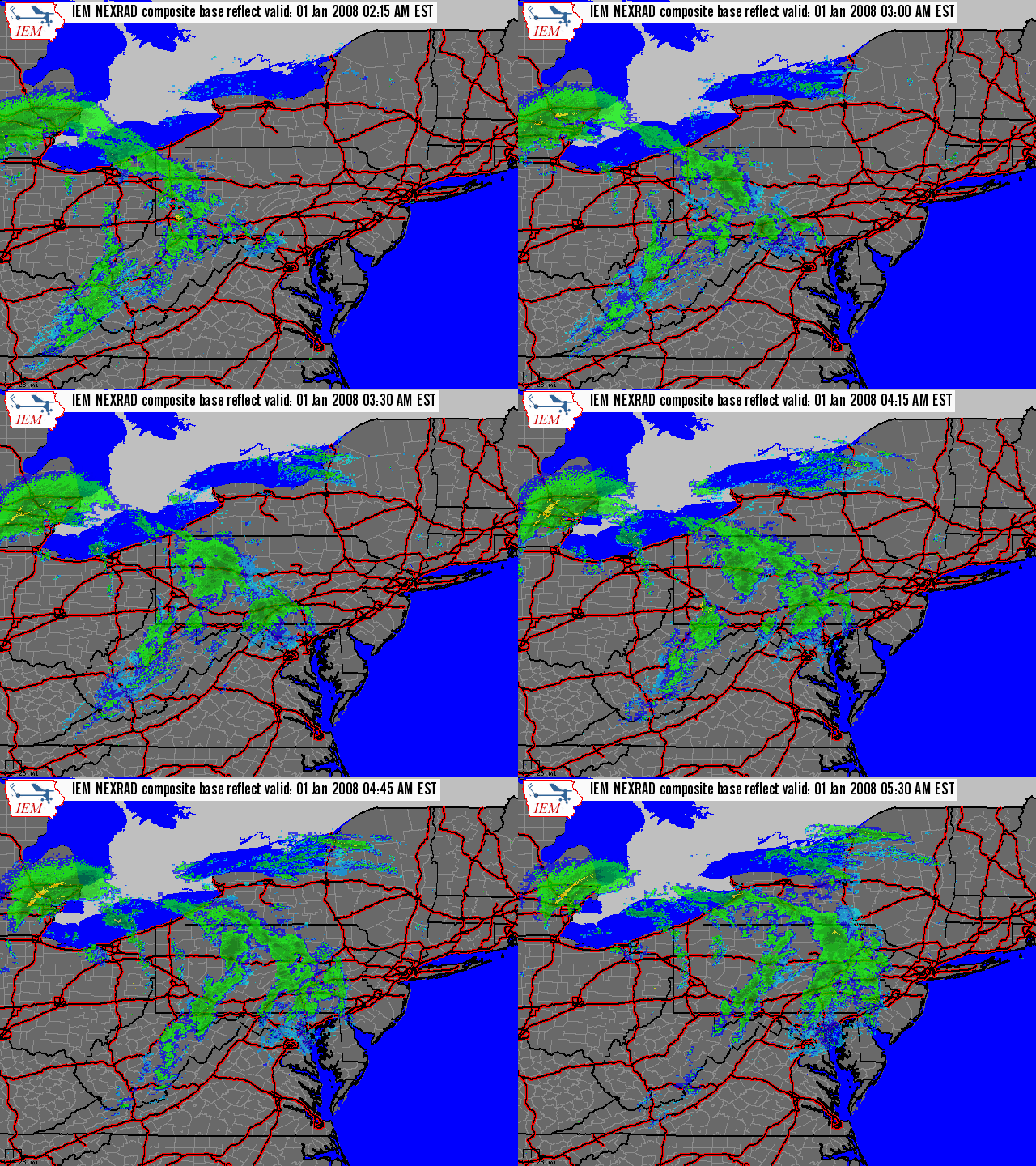
A strong cold front blasted through the state from west to east on the morning of the 1st (see first radar loop). The front produced some light snow, and gusty winds. But, the main story with the front was the much colder air behind it.
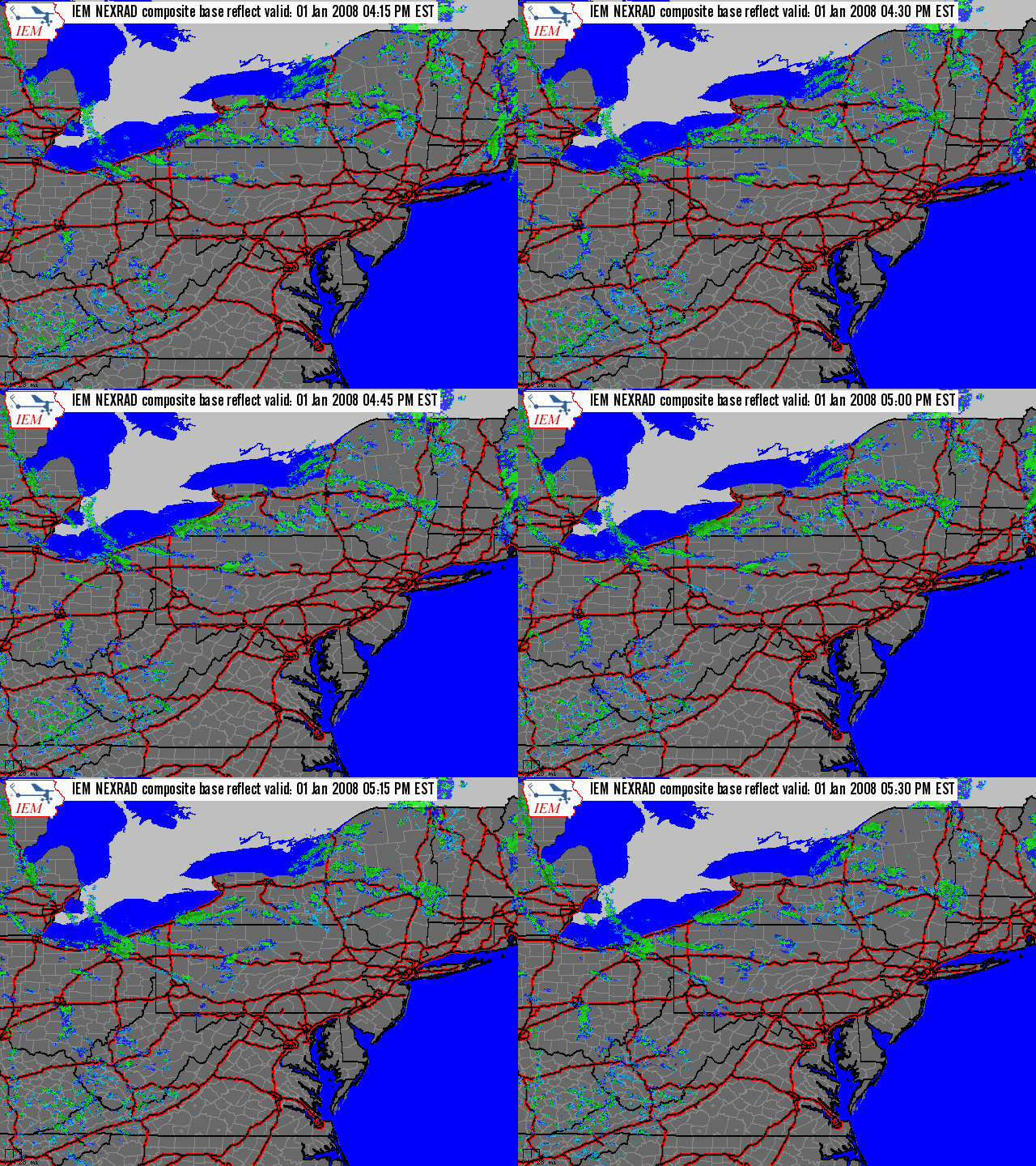
This much colder air generated lots of lake-effect snow as the winds crossed the lake and picked up moisture. The moisture fell out of the clouds as snow over the western mountains, especially in the Laurel Mountains, and the ski areas of Western Somerset County. (See the second radar loop). Total snowfall over a day and a half (from the morning of the 1st to the morning of the 2nd) there in Somerset County were just under a foot. But, as is typical with these westerly flow events, the valleys just to the south and west of the ridges in Somerset County received much less snowfall.
As well, the rest of the region picked up much less snowfall. See the map below to find out how much fell over the first two days of the year.
 |
 |
| Radar Loop of Cold Frontal Passage in early morning of the 1st day of 2008. | Radar Loop of Lake Effect snow bands from the evening of the 1st. |
 |
Media use of NWS Web News Stories is encouraged! Please acknowledge the NWS as the source of any news information accessed from this site. |
 |
US Dept of Commerce
National Oceanic and Atmospheric Administration
National Weather Service
State College, PA
328 Innovation Blvd, Suite 330
State College, PA 16803
(814)954-6440
Comments? Questions? Please Contact Us.


 Send Us a Report