Overview
The afternoon of May 30th, 2006 brought near record high temperatures in the upper 80s to lower 90s to Central PA. This unusually hot weather combined with increasing low level moisture to produce some very tall and damaging pulse thunderstorms. A PULSE thunderstorm is one that typically grows up due to a point source of heating and lift, and collapses when it moves away from that source of lift. Pulse thunderstorms may pulse up and collapse many times, and may move very slowly. This means they are threats for flash flooding as well as hail and, more rarely, wind damage. If a pulse thunderstorm makes damaging wind gusts, it is usually because the storm has so much water held aloft and the cooling from the evaporation in the mid layers of the atmosphere is so great that the cooled air rushes down to the ground with great velocity.
 |
 |
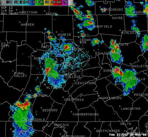
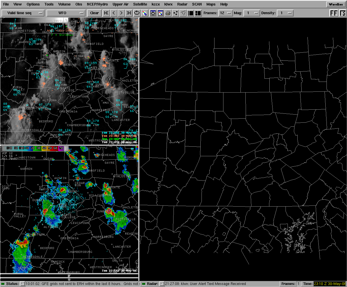
| Composite Reflectivity from 2258z (658pm EDT) with terrain- and heat-induced pulse thunderstorms over Central PA. Note the storm east of Sunbury, which produced large hail near Knobel's Amusement Park in Columbia County, and the storm over Somerset County. | Visible Satellite Picture from 2300z with past-15-minute-lightning overlaid. Note the shadows on the overshooting tops that show up nicely with the late-day sun angle. An Overshooting Top is a sign of a very strong updraft. |
Storm Reports
000
NWUS51 KCTP 021443
LSRCTP
PRELIMINARY LOCAL STORM REPORT...SUMMARY
NATIONAL WEATHER SERVICE STATE COLLEGE PA
1043 AM EDT FRI JUN 02 2006
..TIME... ...EVENT... ...CITY LOCATION... ...LAT.LON...
..DATE... ....MAG.... ..COUNTY LOCATION..ST.. ...SOURCE....
..REMARKS..
1031 AM TSTM WND GST 3 E NEWPORT 40.48N 77.08W
05/30/2006 E0.00 MPH PERRY PA TRAINED SPOTTER
ESTIMATED WIND GUST BETWEEN 50 AND 60 MPH...WITH DIME
SIZED HAIL. NO DAMAGE REPORTED AT TIME.
0639 PM TSTM WND DMG 4 SW ROCKWOOD 39.88N 79.21W
05/30/2006 SOMERSET PA LAW ENFORCEMENT
TREES AND POWERLINES DOWNED ON WHIPKEY DAM RD. DIME SIZED
HAIL REPORTED DURING EVENT.
0642 PM TSTM WND DMG SOMERSET 40.01N 79.08W
05/30/2006 SOMERSET PA LAW ENFORCEMENT
911 DISPATCH REPORTS TREES AND POWERLINES DOWNED ON BYERS
RD.
0659 PM HAIL 2 S NUMIDIA 40.86N 76.41W
05/30/2006 E1.00 INCH COLUMBIA PA EMERGENCY MNGR
QUARTER SIZED HAIL ESTIMATED BY EMERGENCY MANAGEMENT
OFFICIAL.
0920 PM HAIL WILLIAMSPORT 41.24N 77.02W
05/30/2006 E0.75 INCH LYCOMING PA TRAINED SPOTTER
0928 PM HAIL WILLIAMSPORT 41.24N 77.02W
05/30/2006 E1.00 INCH LYCOMING PA STORM CHASER
STORM CHASER REPORTS QUARTER SIZED HAIL WITH TREES DOWN
AND POWER OUT AT RESIDENCE.
&&
$$
VGC/MBC/PAH
 |
Media use of NWS Web News Stories is encouraged! Please acknowledge the NWS as the source of any news information accessed from this site. |
 |