Unseasonably warm temperatures continue through the weekend across the Southwest and southern U.S., with more than 100 record or near record maximum temperatures forecast through the rest of the week and over the weekend. Elevated to critical fire weather conditions will persist across the Plains and Southeast U.S. this weekend. Read More >
Overview
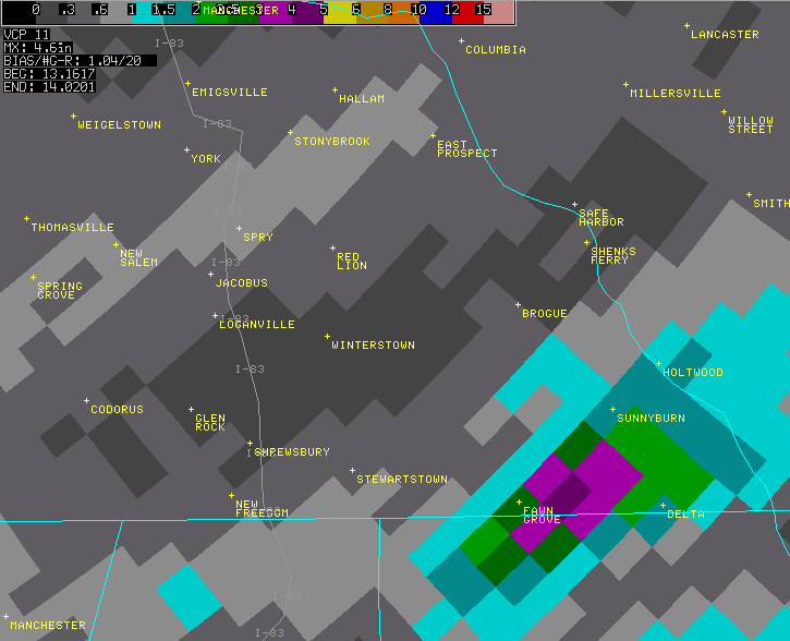
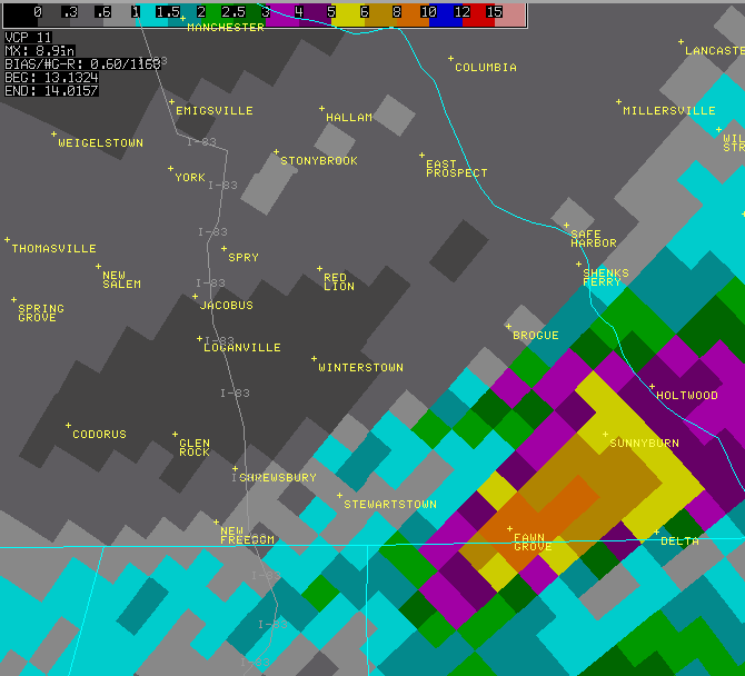
A nearly stationary thunderstorm produced extrememly heavy rain across southern York county during the evening of June 13. Maximum rainfall estimates from doppler radar indicated 8 to 10 inches fell in the town of Fawn Grove, with 5 to 6 inches in the Sunnyburn area. Local fire officials in Fawn Grove reported 6 inches of rain in 1 hour. 1.99 inches of rain was reported in Peach Bottom. County Emergency Management officials reported Neills Run and Muddy Creek Fork were significantly out of their banks. One bridge near the intersection of Gemmil Road and Lakeside drive was completely washed out. Damage to a second bridge on Kilgore Road also reported, with some of the road surface damaged. Numerous houses sustained some water damage, the most serious near Neills Run where 7 feet of water entered the home. Two cars and one camper were swept away on Quiet Stream road from rising waters. Two heating oil tanks were also swept away. In addition, a section of Route 851 was washed out.
 |
 |
| Radar estimates | Additional radar estimates |
 |
Media use of NWS Web News Stories is encouraged! Please acknowledge the NWS as the source of any news information accessed from this site. |
 |