
Showers and thunderstorms will accompany a cold front that will move across the eastern third of the country through Sunday. In the wake of this front, cooler temperatures will follow for most areas east of the Rockies. A wet pattern is expected to unfold across most of Florida this week with a persistent onshore flow and increase rip currents. For Hawaii, a return toward more rain the week ahead. Read More >
|
|
|
Summary
|
|
|
|
Summary
|
|
|
|
Summary
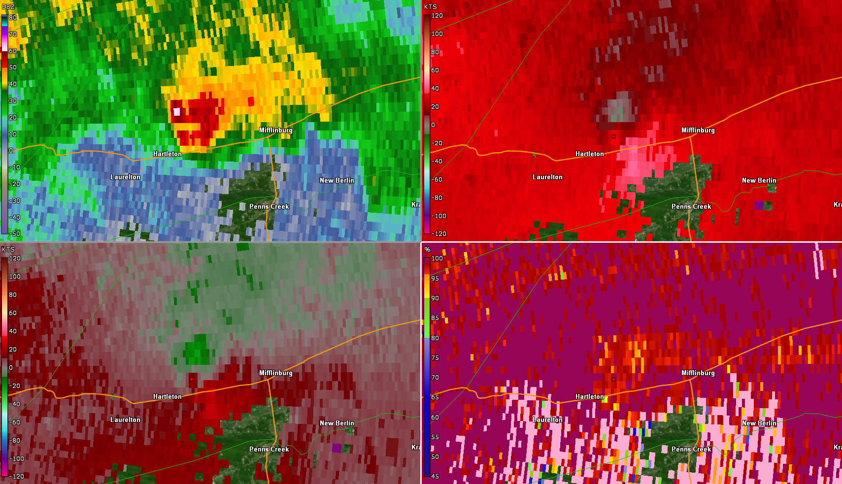
Radar Images
|
|
|
|
Summary
Radar Images
|
|
|
|
Summary
Radar Images
|


 Send Us a Report