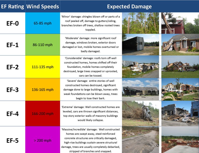
On Sunday, March 3rd, 2019, a strong cold front moved through the Central Savannah River Area of Georgia and Midlands of South Carolina during the late afternoon and evening. Strong thunderstorms developed along and ahead of the front which ultimately produced six tornadoes across the area: four EF1s and two EF2s.
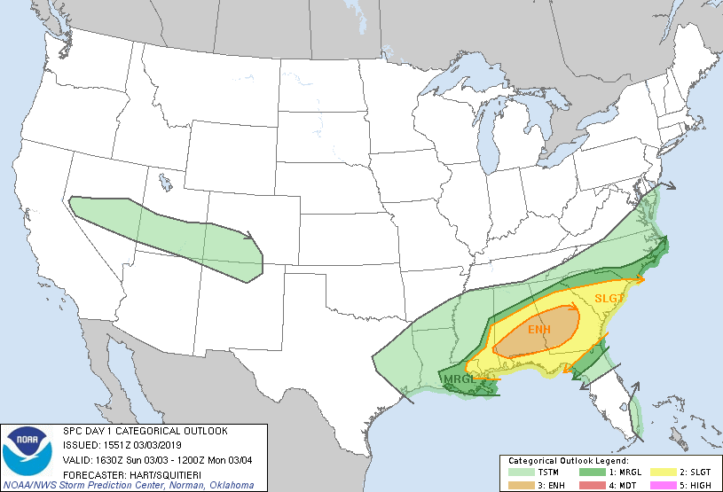
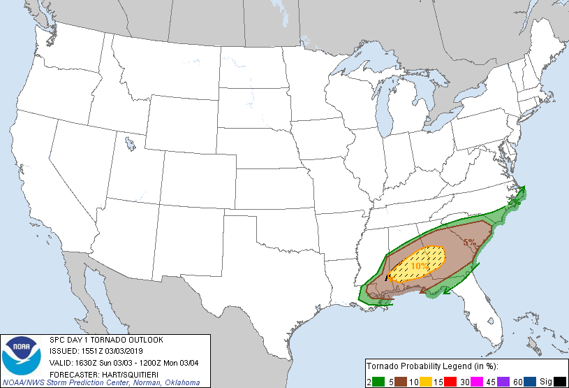
Most of central South Carolina and east-central Georgia were in the slight risk category for severe weather by the Storm Prediction Center. This included a 5% risk of tornadoes.
 |
 |
March 3, 2019, 11:30 AM EDT Day 1 Categorical Outlook (Storm Prediction Center)
Surface low pressure deepened as it moved across the Gulf coast states Sunday morning and across the Central Savannah River Area and Midlands during the late afternoon and evening.
 |
March 3rd, 2019 mean sea level pressure and surface wind overlaid with radar (Mesoanalysis from Storm Prediction Center)
Strong shear was associated with the system with h85 wind around 50 knots.
 |
March 3rd, 2019, 6 PM EST 850mb height, temperature (C), dewpoint (C), and wind (kt) (Mesoanalysis from Storm Prediction Center)
0-1km storm relative helicity values were around 150 to 250 m2/s2 across central South Carolina and east-central Georgia which supported rotating updrafts.
 |
March 3rd, 2019, 6 PM EST 0-1km Storm Relative Helicity (m2/s2) and storm motion vector (kt) (Mesoanalysis from Storm Prediction Center)
Modest surface heating combined with high low-level moisture resulted in weak to moderate instability.
 |
March 3rd, 2019, 5 PM EST Surface Based Convective Available Potential Energy (SBCAPE) (J/kg) and Surface Based Convective Inhibition (SBCIN) (J/kg) (Mesoanalysis from Storm Prediction Center)
 |
Edgefield Tornado- Edgefield County, SC
Red Bank Tornado- Lexington County, SC
Fort Jackson Tornado- Richland County, SC
For reference: The Enhanced Fujita Scale classifies tornadoes
into the following categories:
 |
Click image for larger view

