
Severe thunderstorms are possible from the Ohio Valley to the central Plains this evening, and the threat will expand into the Mid-Atlantic and Northeast on Monday. Hazardous heat will linger across the southern U.S. and build across the West through mid-week. Hot and dry conditions will fuel fire weather concerns for Alaska through this evening and for the Four Corners region through Monday. Read More >
Denver/Boulder, CO
Weather Forecast Office
 What is it?
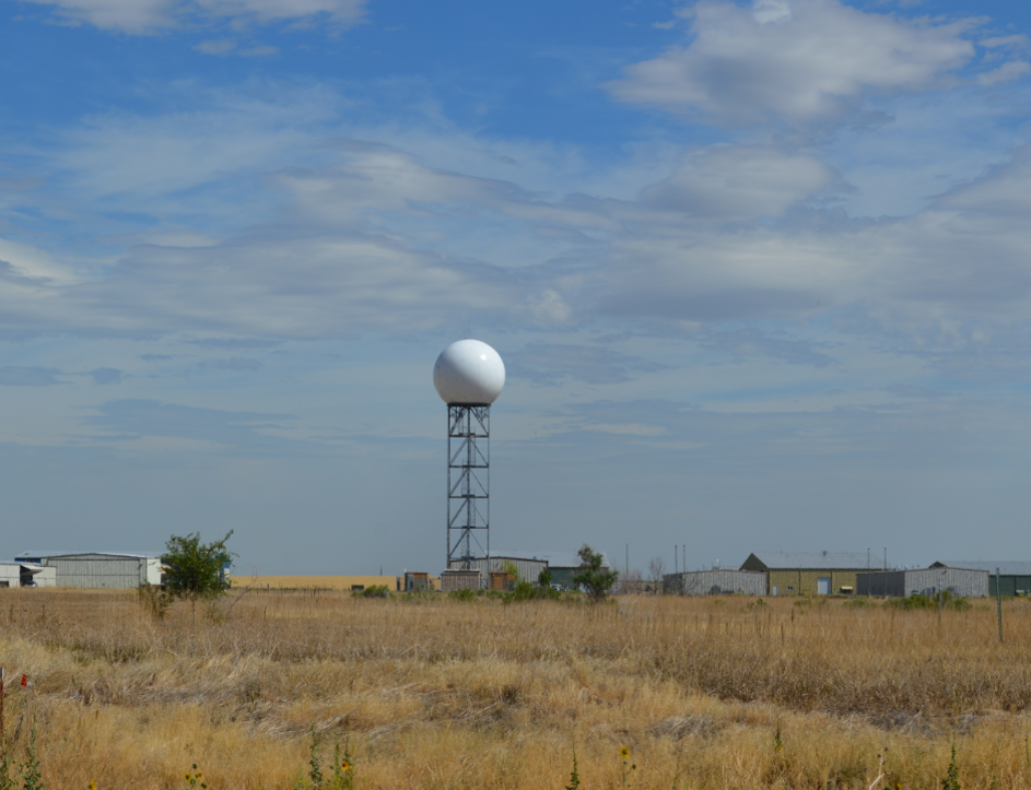
The KFTG WSR-88D radar operated by our office, NWS Denver/Boulder will be down for approximately 7 days for the replacement of the generator, fuel tanks, and accompanying components. This is important to support the radar's operation during periods of commercial power outages, specifically when hazardous weather is present. This generator update is the forth major project of the NEXRAD Service Life Extension Program, a series of upgrades and replacements that will keep our nation’s radars viable into the 2030’s.
The KFTG radar will be down for approximately 7 days starting August 25th.
During the downtime, adjacent radars include Denver Terminal Doppler Radar (TDEN), Cheyenne (KCYS), Grand Junction (KGJX), Pueblo (KPUX), and Goodland (KGLD). For direct access to any of these surrounding radar sites, go to the following web page: https://radar.weather.gov/ The KFTG WSR-88D is part of a network of 159 operational radars. The Radar Operations Center in Norman, Oklahoma, provides lifecycle management and support for all WSR-88Ds. For a radar mosaic loop of the Central Rockies: https://go.usa.gov/xuSyS
The National Weather Service in Boulder, Colorado can be found on social media at: NWSBoulder on Facebook or @NWSBoulder on Twitter. or email us at nws.boulder@noaa.gov
US Dept of Commerce
National Oceanic and Atmospheric Administration
National Weather Service
Denver/Boulder, CO
325 Broadway
Boulder, CO 80305-3328
303-494-3210 for a recording call 303-494-4221
Comments? Questions? Please Contact Us.

