|
The snow event on January 11, 2021 was very typical of most Southeastern US snow events. A cold front from the previous week ushered in below-normal temperatures along with widespread cloud cover, which aided in keeping daytime temperatures cold in the days leading up to the event. A weak surface low developed along the Gulf Coast on January 10th and began to produce widespread rain and snow from Central Texas through Louisiana.
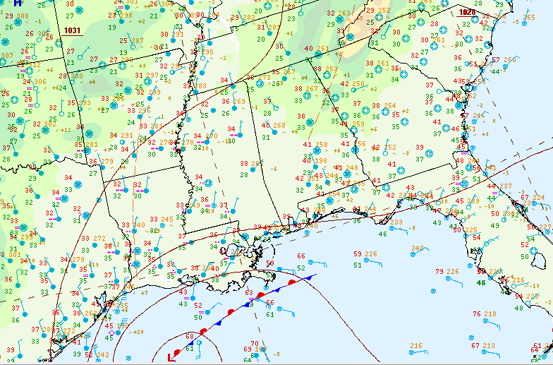
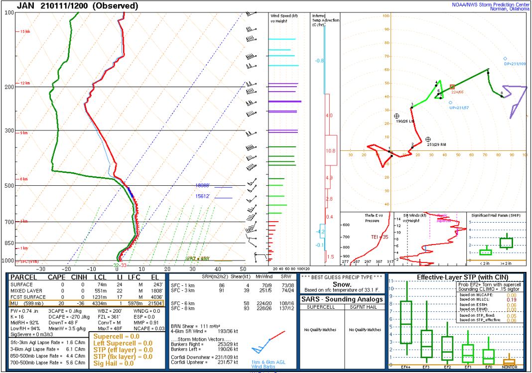
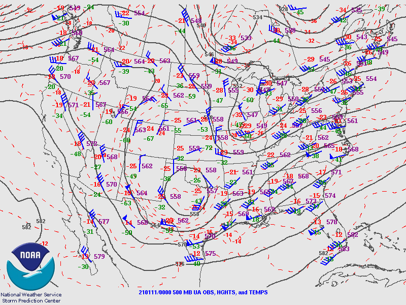
A day earlier, an upper-level trough over the state of Texas aided in the development of a surface low pressure center along the Texas coast. As the surface low and upper trough moved eastward, a temperature gradient set up across the region. This gradient served as the dividing line between rain and snow. Sunday evening, separate from the main event, a batch of light rain and sleet showers moved across portions of Central Alabama, mainly near and north of Interstate 20. While surface temperatures were in the upper 30s to lower 40s and temperatures beneath the cloud layer were several degrees above freezing as well, the dry air mass resulted in a wet-bulbing process, helping to produce the wintry mix.
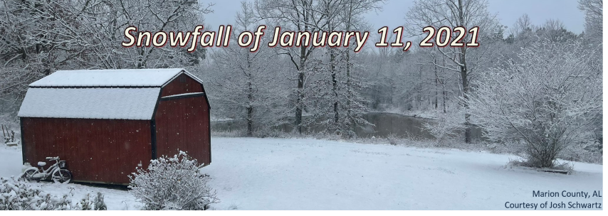
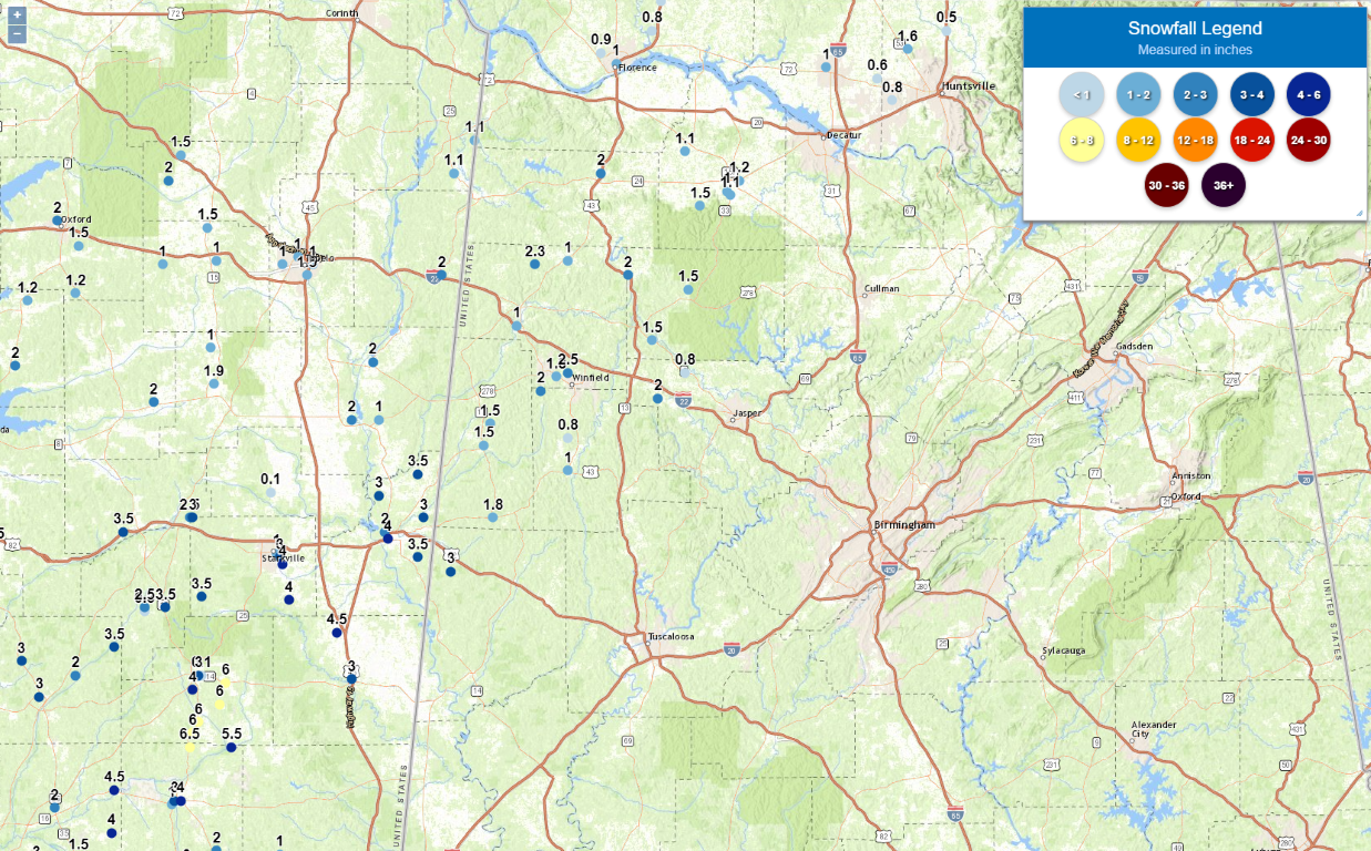
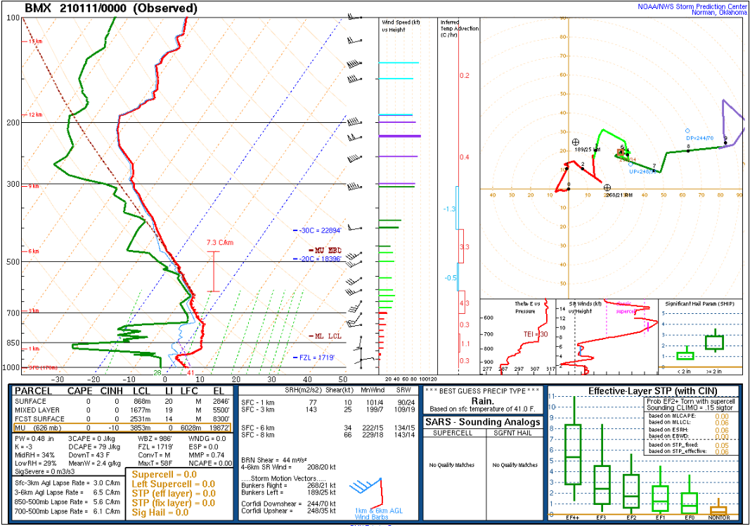
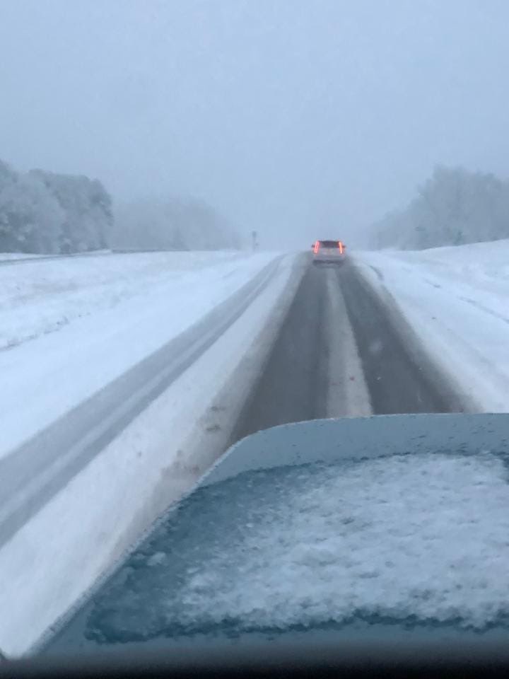
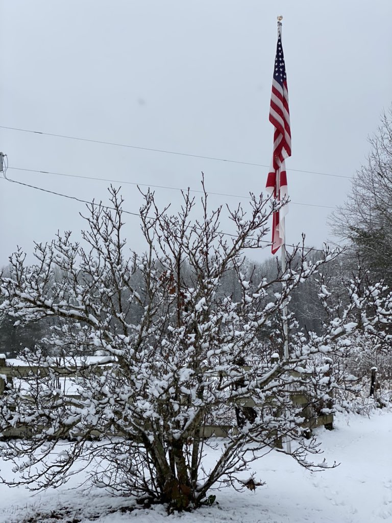
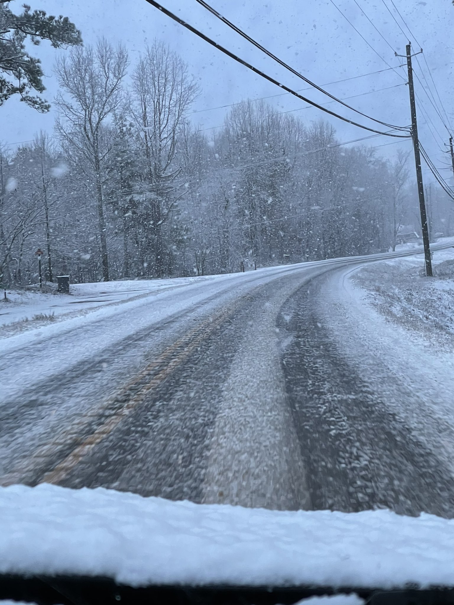
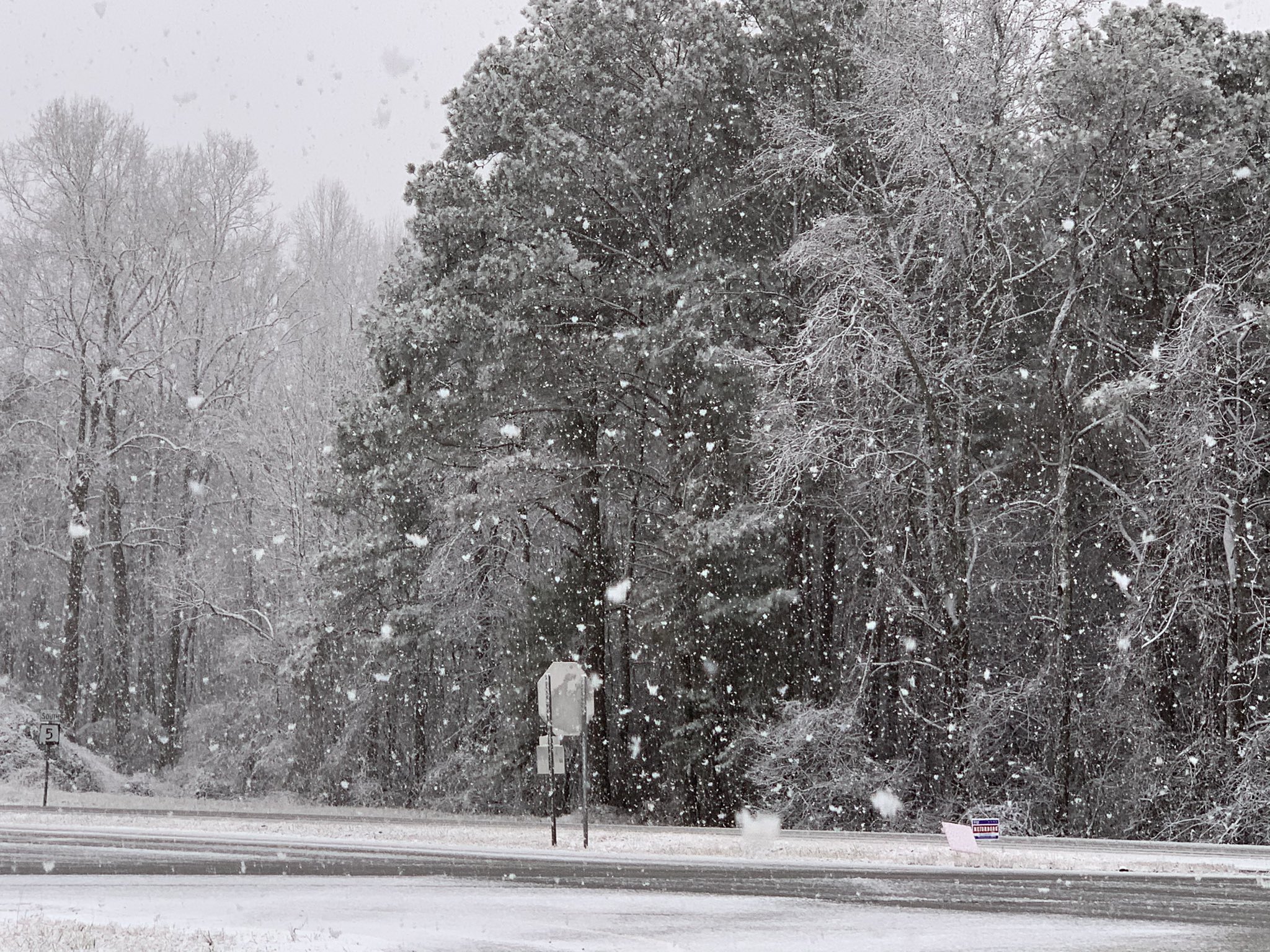
As the area of low pressure neared, widespread precipitation, consisting of rain and snow, moved across Central Alabama on Monday, January 11th. Due to the track of the surface low and upper-level trough, an influx of warmer air moved in from the south and established itself over a majority of Central Alabama, leaving just the northwestern part of Alabama within an axis of deeper and colder (freezing) air. In turn, most of Central Alabama saw a cold rain. Accumulating snow affected Pickens, Lamar, Fayette, Walker, Marion, and Winston Counties. Reported snow totals were generally in the 1 to 2 inch range, with isolated amounts of up to 3 inches. Due to the temperature profile being close to the freezing mark from the surface through the cloud layer, snowflakes were wet and tended to clump as they fell, making for a picturesque winter scene. The warmer temperatures kept travel impacts to a minimum as the more significant accumulations occurred on grassy and raised surfaces.
|