Alabama Tornado Database |
|||||||||||
| 1970 Tornado Occurrences (14) | |||||||||||
| Tornado # of Year | Year | Month | Day | Time (CST) | County | Damage Scale | Path Length (Miles) | Maximum Path Width (Yards) | Fatalities | Injuries | Location |
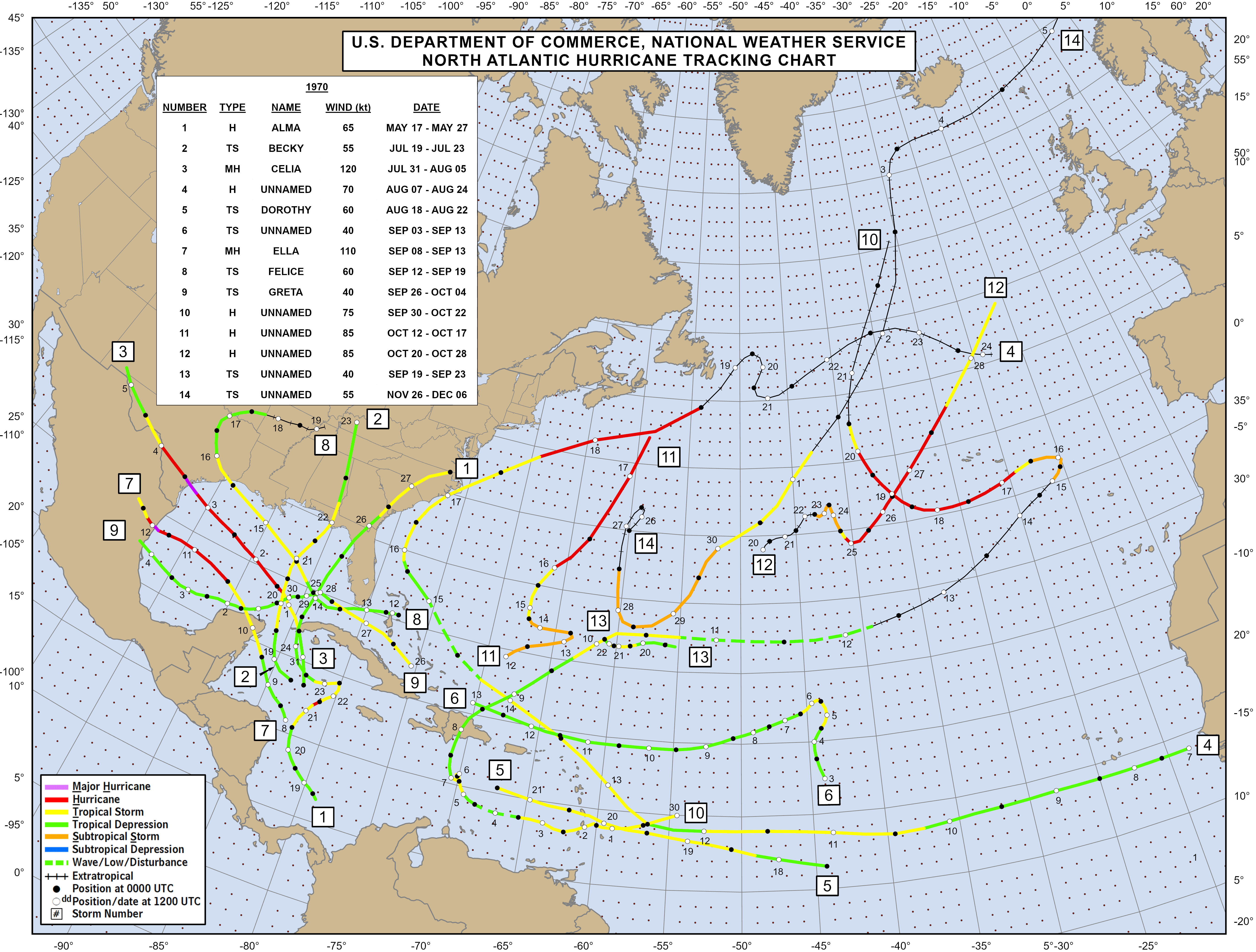
| 14 | 1970 | 8 | 1 | 1845 | Morgan 1970 Hurricane Map Hurricane Celia Information Hurricane Celia Information Hurricane Celia Information |
F1 | 0.1 | 10 | 0 | 0 | NE Priceville One home was unroofed and one trailer was destroyed. Several trees were uprooted.May have been associated with the remnants of Hurricane Celia. Start: 34.55/-86.87 End: 34.55/-86.87 |
| 13 | 1970 | 7 | 4 | 1535 | Clarke | F0 | 0.10 | 10 | 0 | 0 | Southwest of Grove Hill A State Trooper observed a tornado briefly touch down 6 miles south of Grove Hill on Highway 43. Little damage was noted. Start: 31.63/-87.85 End: 31.63/-87.85 |
| 12 | 1970 | 6 | 21 | 1900 | Cullman | F2 | 3.8 | 10 | 0 | 0 | Good Hope-Beach Grove At least 15 barns and 5 homes were damaged. Start: 34.10/-86.87 End: 34.13/-86.82 |
| 11 | 1970 | 6 | 2 | 0730 | Baldwin | F2 | 0.1 | 10 | 0 | 0 | Daphne One trailer was demolished. Start: 30.60/-87.88 End: 30.60/-87.88 |
| 10 | 1970 | 4 | 26 | 1300 | Randolph | F2 | 1.0 | 10 | 0 | 2 | Tin Shop - 5 SW Wedowee One store was severely damaged, one mobile home was overturned, and one home was damaged. A swath of trees was cut down. Start: 33.25/-85.52 End: 33.25/-85.52 |
| 9 | 1970 | 4 | 26 | 0935 | Shelby | F1 | 3.3 | 300 | 0 | 0 | NNE Vincent - 4 NE Vincent Several homes and mobile homes were damaged. One barn was demolished. Start: 33.40/-86.40 End: 33.42/-86.35 |
| 8 | 1970 | 4 | 26 | 0800 | Madison | F1 | 8.6 | 50 | 0 | 0 | New Sharon-4.3 ENE Hazel Green 2 houses and garages were damaged. Start: 34.95/-86.65 End: 34.95/-86.50 |
| 7 | 1970 | 4 | 24 | 0630 | Madison | F2 | 0.5 | 10 | 0 | 0 | Huntsville Brief tornado touchdown 3 miles north of the airport. One trailer was damaged and a school and gym were partially unroofed. Start: 34.75/-86.60 End: 34.75/-86.60 |
| 6 | 1970 | 4 | 2 | 0230 | Dallas | F2 | 5.6 | 300 | 0 | 0 | 1 NNE Plantersville-6.3 NE Plantersville Several trees were downed and damage occurred at the YMCA Camp. One mobile home was destroyed, 3 mobile homes were damaged, several homes sustained roof damage, 2 barns were demolished, and 1 large storage building was destroyed. Numerous trees were uprooted along the entire path. Start: 32.67/-86.92 End: 32.70/-86.83 |
| 5 | 1970 | 4 | 2 | 0120 | Etowah | F2 | 6.1 | 200 | 0 | 0 | 2 WSW Glencoe-Hokes Bluff A service station and mobile home were demolished, several homes were unroofed, and several mobile homes were damaged near Glencoe. Several buildings were damaged in Hokes Bluff. Start: 33.95/-85.95 End: 34.00/-85.87 |
| 4 | 1970 | 3 | 30 | 1030 | Conecuh | F1 | 0.1 | 10 | 0 | 0 | 9 W Castleberry A funnel cloud briefly touched down and was witnessed by a state trooper. The tornado occurred near Interstate 65 17 miles southwest of Evergreen. A few trees were uprooted. Start: 31.28/-87.17 End: 31.28/-87.17 |
| 3 | 1970 | 3 | 19 | 2308 | Chambers | F3 | 2.0 | 200 | 2 | 14 | Little Shawmut-Plant City A large school and two churches were severely damaged. 6 homes were destroyed, 15 homes sustained major damage, and 3 mobile homes were damaged. Numerous homes suffered minor damage. This location is northwest of Valley. Start: 32.84/-85.22 End: 32.85/-85.18 |
| 2 | 1970 | 3 | 19 | 0600 | Hale | F2 | 1 | 10 | 0 | 0 | Greensboro Tornado touched down near the depot damaging a store and a warehouse. A few homes were damaged by falling tree limbs. Start: 32.70/-87.60 End: 32.70/-87.60 |
| 1 | 1970 | 3 | 3 | 1845 | Washington | F2 | 0.1 | 10 | 0 | 0 | NE Chatom A barn and a house were demolished. Several other homes were damaged and many trees were uprooted. Start: 31.47/-88.25 End: 31.47/-88.25 |

