|
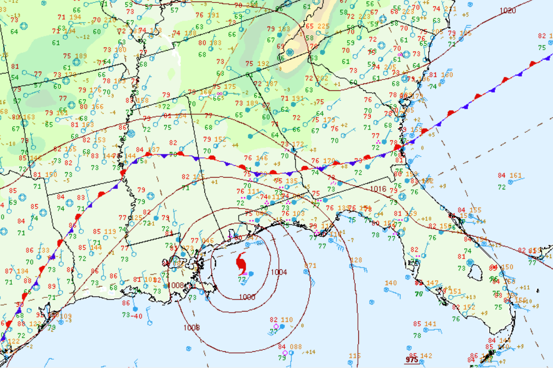
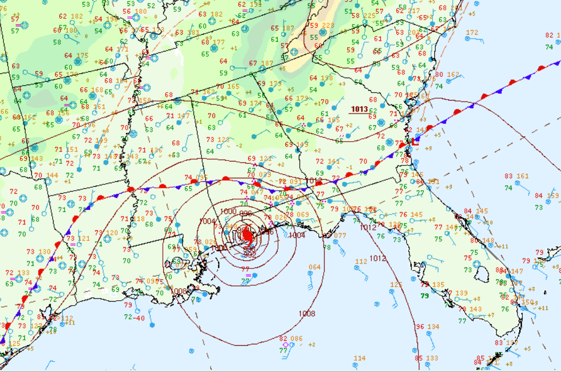
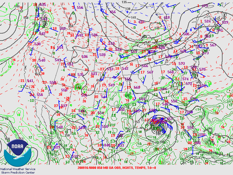
Hurricane Sally began as a depression off the southeast coast of the Florida peninsula on Friday, September 11th, 2020. The depression became a tropical storm soon after it crossed the Florida peninsula and entered the Gulf of America. Sally gradually strengthened as it tracked northwest over the warm Gulf waters towards the Central Gulf coast and became a hurricane on Monday morning, September 14th. At that time, the hurricane was forecast to track close to the southeast Louisiana coast and move inland over Mississippi. However, the forecast track shifted eastward as Sally approached the coastline on September 15th. Rain bands from Sally began to impact Alabama and Northwest Florida during the early morning hours on the 15th. The center of Sally continued to shift slightly east of due north with the center then taking aim at the Alabama coastline. Hurricane Sally made landfall at 4:45 am on Wednesday, September 16, near Gulf Shores, Alabama. At landfall, the category two hurricane had maximum sustained winds of 105 mph. Sally weakened quickly after moving inland and tracked northeast across southeast Alabama during the overnight hours on Wednesday, September 16th, and the morning hours on Thursday, September 17th.
Hurricane Sally moved quite slowly during its life cycle with a forward motion generally less than 5 mph. The slow movement of the storm exposed the Alabama and West Florida Coast to several hours of tropical storm to hurricane force winds that caused notable damage to trees, powerlines and generally less formidable structures. The system also produced widespread heavy rainfall with amounts generally in the 10 to 20 inch range from the coast inland through much of southwest, south-central and southeast Alabama. The main impacts for Central Alabama were felt along and south of Interstate 85, where 4-8 inches of rain fell, with localized amounts near 12 inches, and peak wind gusts of 35 to 45 mph were reported, along with numerous reports of downed trees. Several counties also reported flash flooding.
|