|
Event Summary
|
|
EF-0
|
|
Estimated Maximum Wind:
|
80 mph
|
|
Injuries/Fatalities:
|
None |
|
Damage Path Length:
|
4.80 miles
|
|
Maximum Path Width:
|
350 yards
|
|
Approximate Start Point/Time:
|
1 ESE Bessemer
33.3637/-86.9428
at 102 AM CST
|
|
Approximate End Point/Time:
|
2 SSE Ross Bridge
33.3673/-86.8610
at 108 AM CST
|
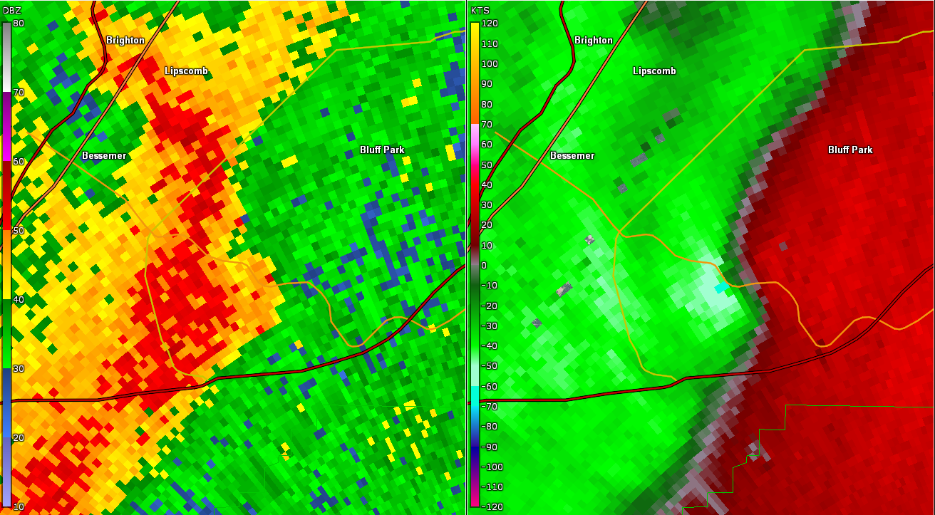
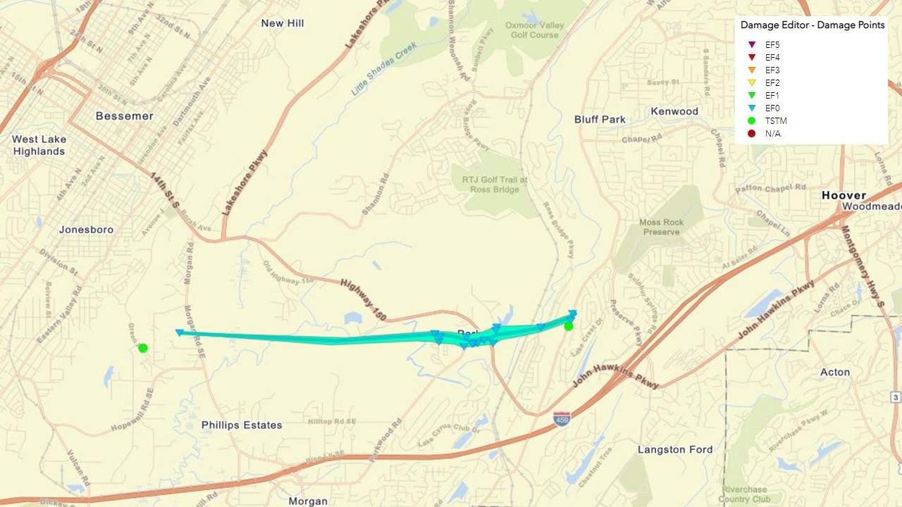
NWS Meteorologists surveyed damage in Southern Jefferson County, south of Bessemer, and determined it was the result of a tornado.
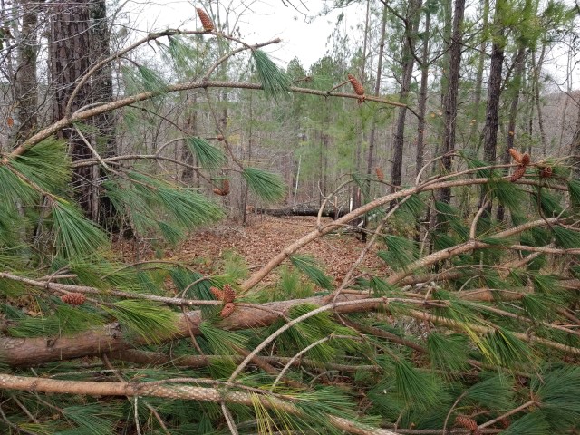
The tornado first touched down on Dusty Lane, causing damage mainly to weakened or shallow rooted trees. The tornado crossed Morgan Road and continued east across an inaccessible forested area, crossing Shades Creek and then passing just behind The Oaks on Parkwood Blvd. Scores of trees were either uprooted or snapped in the area, and minor structural damage was noted at The Oaks. The tornado continued eastward and reached its peak intensity as it crossed Parkwood Road just west of Alabama Highway 150, with a dozen or so very large hardwoods uprooted, causing damage to homes and vehicles. The tornado was also estimated to be at its maximum width of about 350 yards in this area as it crossed Alabama Highway 150. The tornado narrowed and weakened as it crossed another area of forested land, before snapping an older tree along Ross Bridge Parkway just west of Deer Valley Elementary School, then skirted the north end of the campus before ascending Shades Crest Mountain, then rapidly dissipating as it crossed Shades Crest Road.
Special thanks go to Jefferson County EMA for their assistance doing damage assessments in the forested area by UAS.
The data is PRELIMINARY and may be subject to change.
|