NWS Birmingham, Alabama
Weather Forecast Office
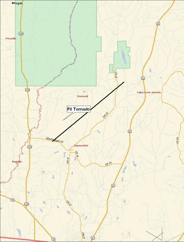
Summerfield-Paul M. Grist State Park F0 Tornado
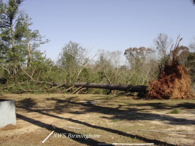
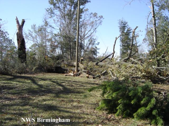
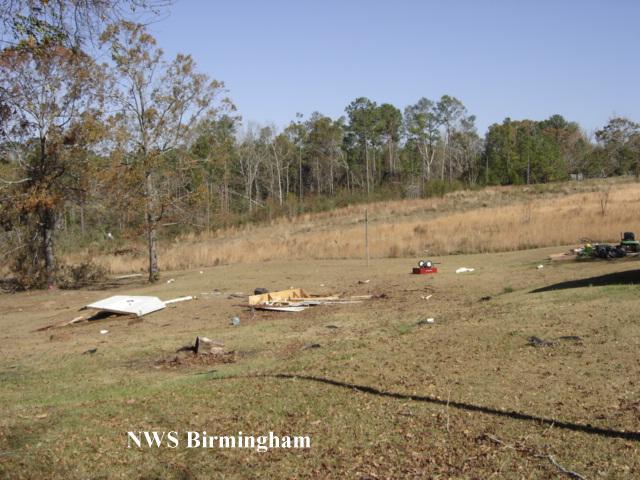
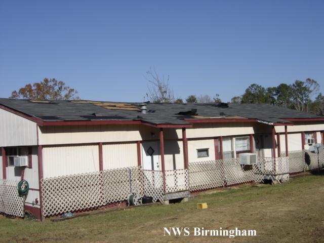
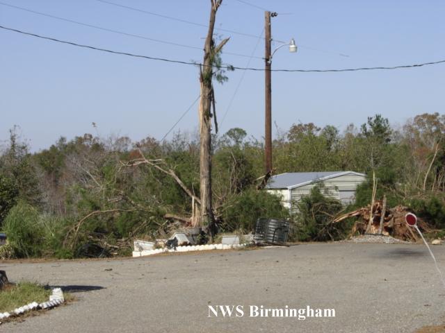
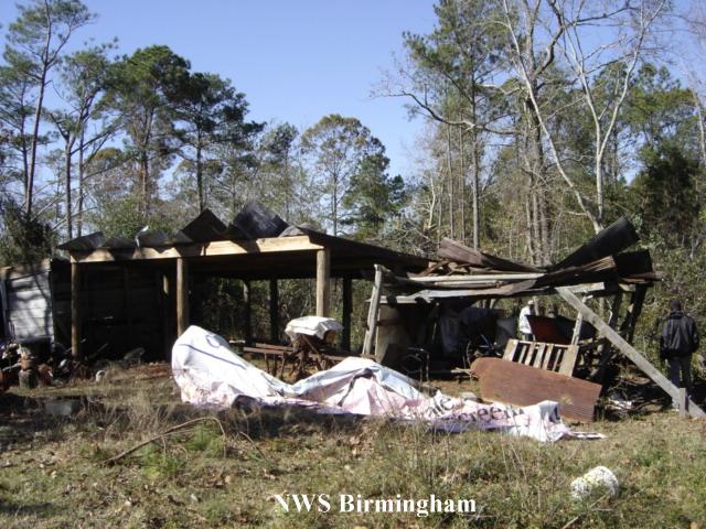
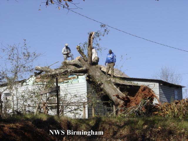
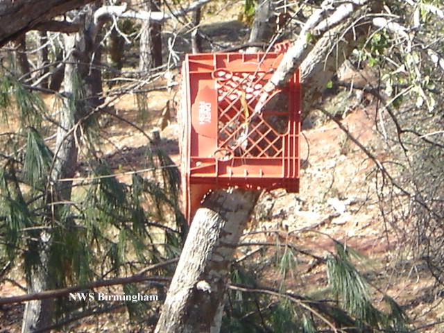
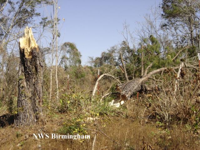
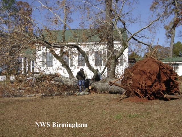
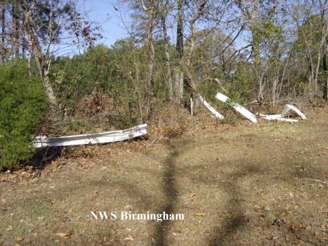
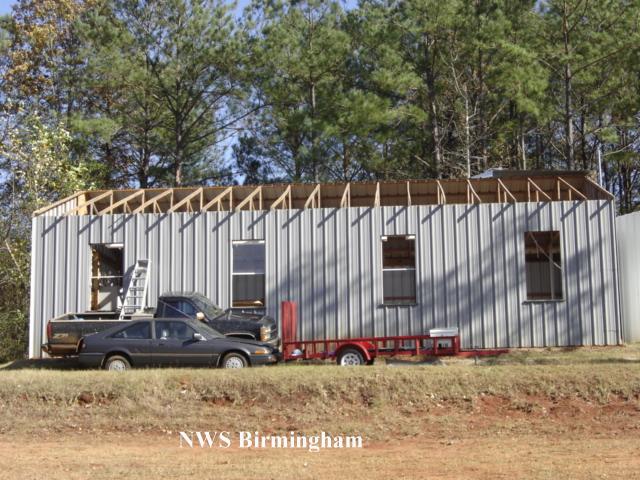
National Weather Service meteorologists surveyed the damage that affected areas north of Summerfield and near Paul M Grist State Park. It has been determined that the damage was the result of a tornado. The tornado has been rated an F0 on the Fujita Damage Intensity Scale.
The tornado first touched down approximately 1.2 miles northwest of Summerfield near the intersection of County Road 16 and County Road 279. The tornado tracked in a northeastward direction and crossed County Road 39 twice, County Road 37, and County Road 222. The tornado lifted just northeast of the intersection of County Road 37 and County Road 222. This location is just south of Paul M. Grist State Park. The tornado damage path was approximately 5.8 miles long and 50 yards wide at its widest point. The tornado was on the ground from approximately 453 PM CST to 502 PM CST.
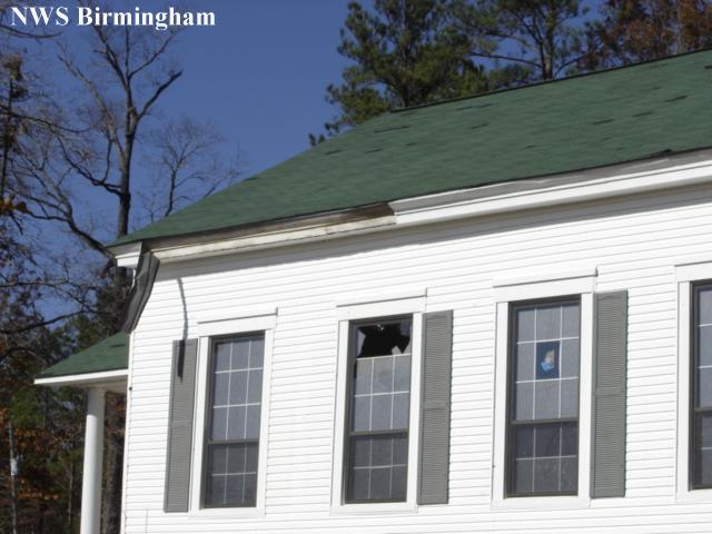
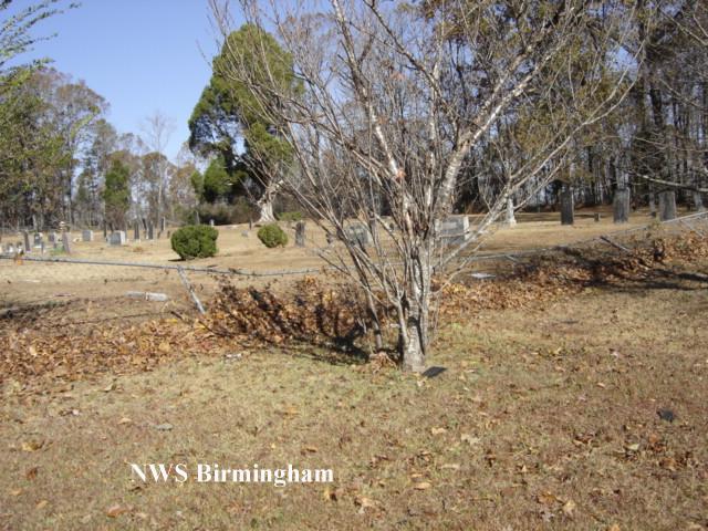
Along the damage path, numerous large trees were snapped off and uprooted. A few homes and mobile homes sustained shingle damage. One large tree fell on a home and caused damage. One mobile home was pushed off its foundation. Several sheds or out-buildings sustained moderate damage.
Watches/Warnings:
Tornado Watch number 884 was in effect from 955 AM until 600 PM CST.
A Tornado Warning was in effect from 423 PM until 515 PM CST.
Current Hazards
National Outlooks
Tropical
Local Storm Reports
Public Information Statement
Graphical Hazardous Weather Outlook
Current Conditions
Regional Weather Roundup
Rivers and Lakes
Drought Monitor
Forecasts
Fire Weather
Aviation Weather
Graphical Forecasts
Forecast Discussion
Air Quality
Climate and Past Weather
Past Events
Storm Data
Tornado Database
Daily Rainfall Plots
Tropical Cyclone Reports
Monthly Climate
Annual Climate
Warnings and Other Products
Tornado Warnings
Severe Thunderstorm Warnings
Flash Flood Warnings
Winter Weather Warnings
Special Weather Statements
Non-Precipitation Warnings
Flood/River Flood Warnings
Productos en Español
Conciencia y Preparación
Previsión de 7 Días
Weather Safety
NOAA Weather Radio
Severe Weather Preparedness
Severe Safety Rules
Tornado Safety Rules
Severe Safety w/ ASL
Awareness Weeks
Severe Weather
Hurricane Preparedness
Summer Safety Campaign
Winter Weather
US Dept of Commerce
National Oceanic and Atmospheric Administration
National Weather Service
NWS Birmingham, Alabama
465 Weathervane Road
Calera, AL 35040
205-664-3010
Comments? Questions? Please Contact Us.