NWS Birmingham, Alabama
Weather Forecast Office
Union Grove Tornado
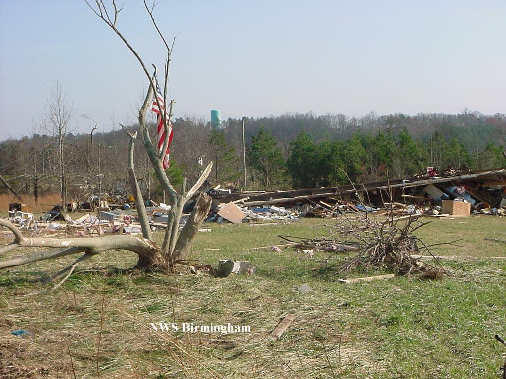
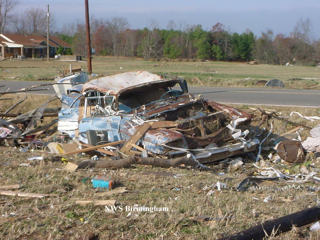
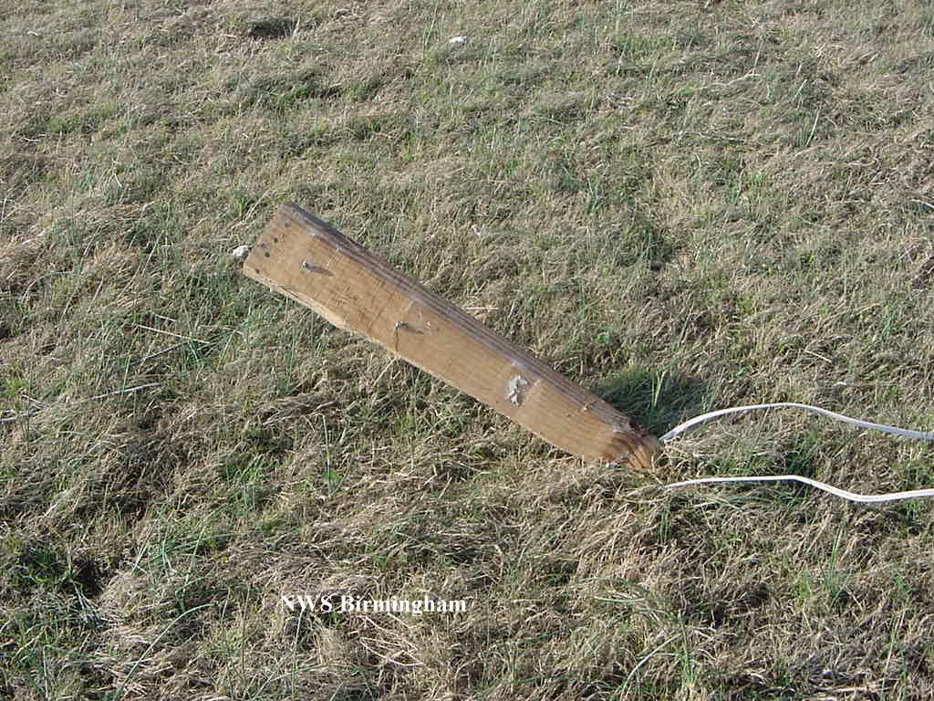
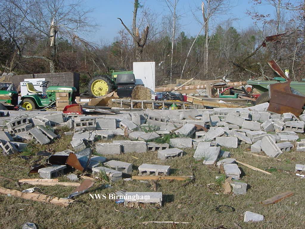
A supercell thunderstorm produced a tornado in the Union Grove area. The tornado began at 1:41 PM CST, 5 miles northwest of Union Grove, near Shumate Mountain. The tornado moved northeast crossing CR 240 and ending at 1:44 PM CST near the base of Benton Round Mountain. The tornado has been rated an F2 on the Fujita Scale , with winds of 113 to 157 mph. The heaviest damage occurred southwest of CR 240. Ten to 15 mobile homes were destroyed, 5 homes suffered varying degrees of damage, several outbuildings and barns were destroyed, an ultra-lite hangar was destroyed, 2 hunting cabins were destroyed, and 7 people received minor injuries.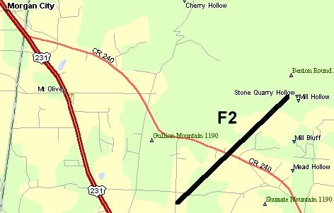 The tornado path was 2.0 miles long and 300 yards wide at its widest point. Click on the map to view a larger image showing the approximate path of the tornado. The tornado path was 2.0 miles long and 300 yards wide at its widest point. Click on the map to view a larger image showing the approximate path of the tornado.A Tornado Watch that included Marshall County was issued at 9:19 AM CST. A Tornado Warning was in effect from 1:16 PM until 2:00 PM CST. Click on images for a larger display. |
|
Current Hazards
National Outlooks
Tropical
Local Storm Reports
Public Information Statement
Graphical Hazardous Weather Outlook
Current Conditions
Regional Weather Roundup
Rivers and Lakes
Drought Monitor
Forecasts
Air Quality
Fire Weather
Aviation Weather
Graphical Forecasts
Forecast Discussion
Climate and Past Weather
Past Events
Storm Data
Tornado Database
Daily Rainfall Plots
Tropical Cyclone Reports
Warnings and Other Products
Tornado Warnings
Severe Thunderstorm Warnings
Flash Flood Warnings
Winter Weather Warnings
Special Weather Statements
Non-Precipitation Warnings
Flood/River Flood Warnings
Productos en Español
Conciencia y Preparación
Previsión de 7 Días
Weather Safety
NOAA Weather Radio
Severe Weather Preparedness
Severe Safety Rules
Tornado Safety Rules
Severe Safety w/ ASL
Awareness Weeks
Severe Weather
Hurricane Preparedness
Summer Safety Campaign
Winter Weather
US Dept of Commerce
National Oceanic and Atmospheric Administration
National Weather Service
NWS Birmingham, Alabama
465 Weathervane Road
Calera, AL 35040
205-664-3010
Comments? Questions? Please Contact Us.