NWS Birmingham, Alabama
Weather Forecast Office
Elmore County F1 Tornado near Kent - November 15, 2006
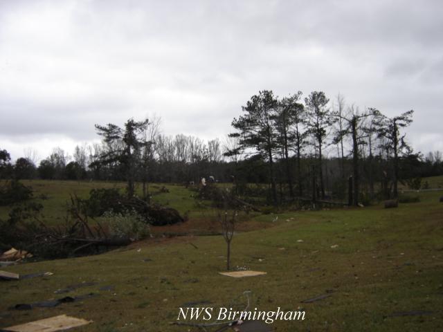
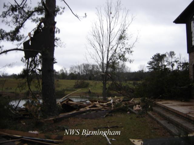
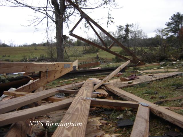
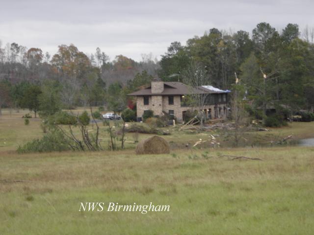
National Weather Service meteorologists surveyed the storm damage that affected northern Elmore County. It has been determined that the damage was the result of a tornado. The tornado has been rated an F1 on the Fujita Damage Intensity Scale.
A tornado touched down about 3 miles west of Kent, near the intersection of County Road 159 and Chana Creek Road. The tornado tracked north northeast and lifted near the intersections of State Highway 50, State Highway 229 and County Road 361. The tornado damage path generally paralleled State Highway 229 for a few miles. A roof was blown off a house and several trees were blown down along the path. The tornado damage path was approximately 5 miles long and was 100 yards wide at its widest point. The tornado touched down at approximately 1102 AM CST and lifted around 1106 AM CST. A Tornado Warning was in effect for Elmore County from 1035 AM CST to 1115 AM CST.
|
|
||||||||||||||||||||
Current Hazards
National Outlooks
Tropical
Local Storm Reports
Public Information Statement
Graphical Hazardous Weather Outlook
Current Conditions
Regional Weather Roundup
Rivers and Lakes
Drought Monitor
Forecasts
Fire Weather
Aviation Weather
Graphical Forecasts
Forecast Discussion
Air Quality
Climate and Past Weather
Past Events
Storm Data
Tornado Database
Daily Rainfall Plots
Tropical Cyclone Reports
Warnings and Other Products
Tornado Warnings
Severe Thunderstorm Warnings
Flash Flood Warnings
Winter Weather Warnings
Special Weather Statements
Non-Precipitation Warnings
Flood/River Flood Warnings
Productos en Español
Conciencia y Preparación
Previsión de 7 Días
Weather Safety
NOAA Weather Radio
Severe Weather Preparedness
Severe Safety Rules
Tornado Safety Rules
Severe Safety w/ ASL
Awareness Weeks
Severe Weather
Hurricane Preparedness
Summer Safety Campaign
Winter Weather
US Dept of Commerce
National Oceanic and Atmospheric Administration
National Weather Service
NWS Birmingham, Alabama
465 Weathervane Road
Calera, AL 35040
205-664-3010
Comments? Questions? Please Contact Us.