|
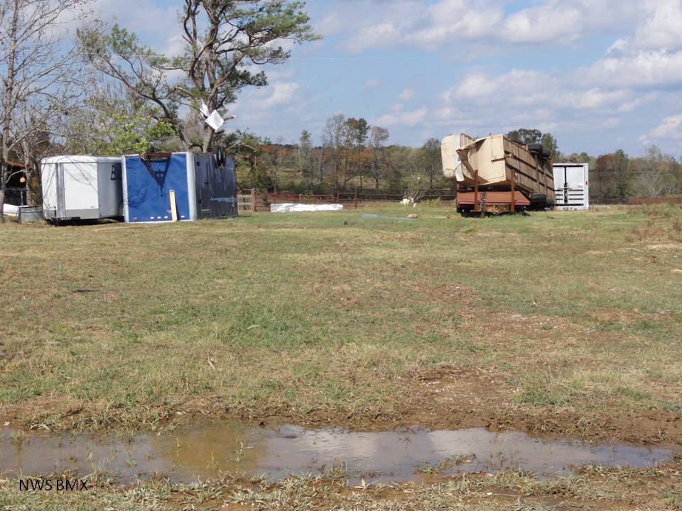
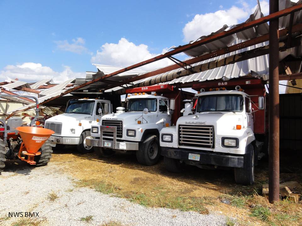
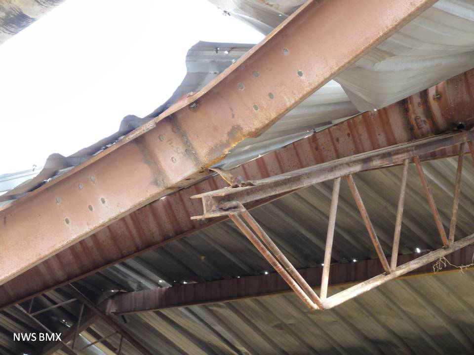
The tornado touched down near the intersection of Winston CR 28 and AL Hwy 13 at approximately 205 am, then traveled northeast across CR 13 towards Macedonia. The tornado reached its maximum strength wind speeds of 100 to 110 mph as it crossed CR 3231. The width of the damage path at this point was approx 600 yards, the widest portion of the damage path. The tornado then crossed CR 3230 where it destroyed a two week old hay barn and a large workshop/storage shed and also caused significant damage to two other structures.
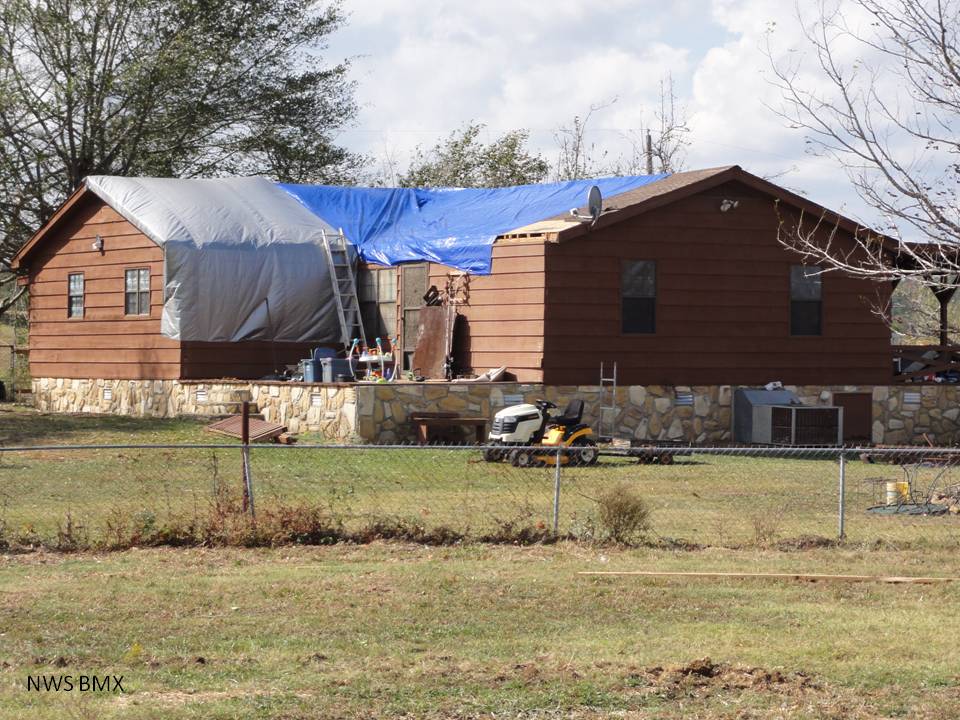
Another outbuilding also sustained damage at the same location and the residence sustained significant roof damage. At this point the damage path took more of an easterly path but remained narrow and well-defined. The tornado struck just north of the Macedonia church where a double-wide home sustained significant roof damage and several outbuildings were damaged. It continued eastward just north of Friendship Rd and then crossed AL Hwy 195 as it continued to snap off large tree limbs and caused damage to additional outbuildings. The last damage found was near the intersection of CR 2 and CR 47, where minor roof damage affected a home and tree damage was present. The tornado then moved off into inaccessible forestry land and dissipated.
|