|
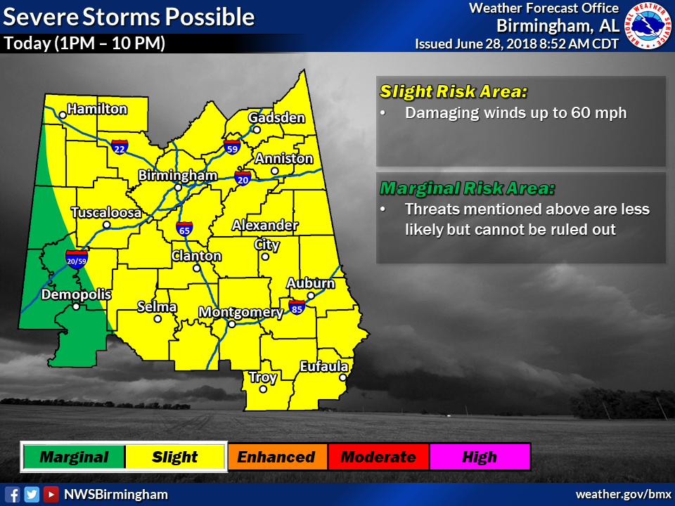
Event Summary for Central Alabama
A rare Southeast U.S. derecho swept through the entire state of Alabama from north-to-south during the afternoon and evening hours of June 28th, 2018. A derecho is defined as a widespread, long-lived wind storm comprised of a complex of rapidly-moving thunderstorms, which produce a swath of wind damage 250+ miles in length, with severe-caliber wind gusts (at least 58 MPH) along most of its length. While derechos can happen in this part of the country, they are infrequent. These types of storm systems feed on the highly-unstable air mass commonly in place during the summer and self-sustain as their cold pools mature, growing very large in size after originating from a much smaller cluster of storms.
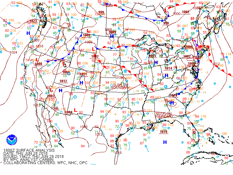
This particular event featured a complex of thunderstorms that resulted in wind damage along a track nearly 400 miles long, originating in Central Tennessee and ending along the Gulf Coast. The southward movement of these storms was driven by clockwise flow around a ridge of high pressure centered over the Central United States.
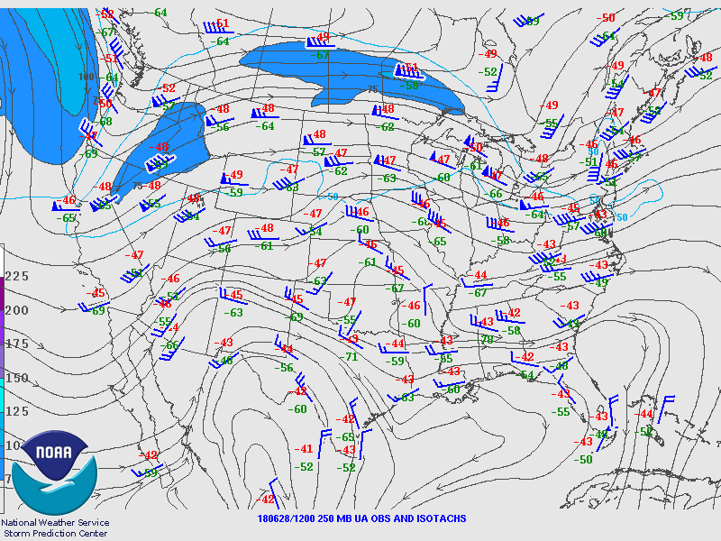
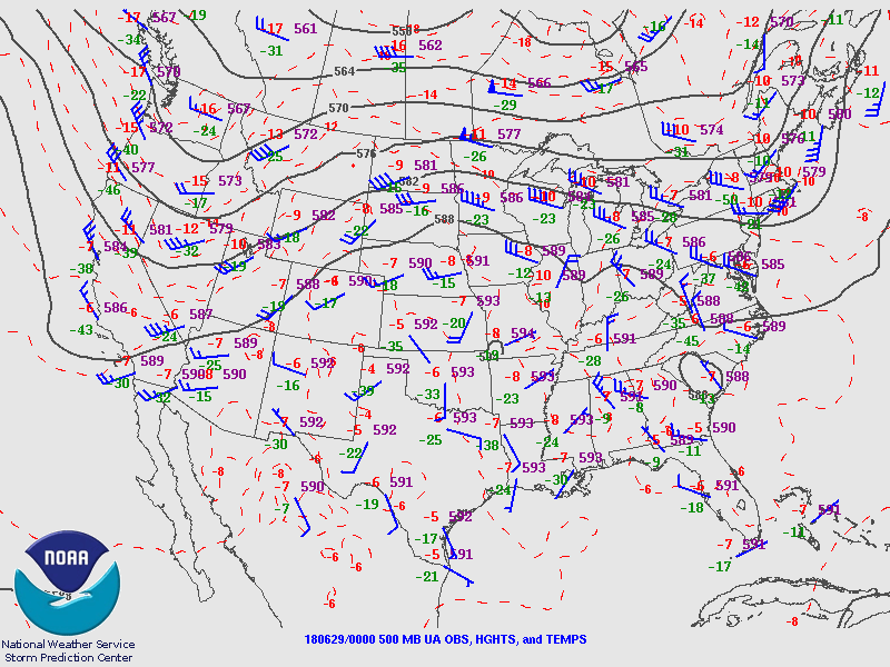
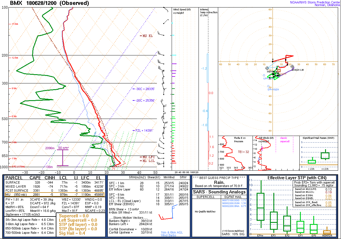
Here in Central Alabama, the storms moved through during peak daytime heating, with a strong-to-extremely unstable air mass in place. CAPE values (a measure of atmospheric instability) of 4,000-5,000 J/kg were common, with a modified sounding for observed surface conditions at Gadsden, AL pinpointing as much as 6,000 J/kg. While bulk wind shear was very light due to the proximity of the ridge, running about 20 knots, storms were able to continually develop/organize and propagate along the outflow boundary/gust front running just ahead of the thunderstorms. Steep low-level lapse rates region-wide aided in momentum transfer of strong winds to the surface across a large area. Wind damage occurred not only with the thunderstorms, but with the outflow as well.
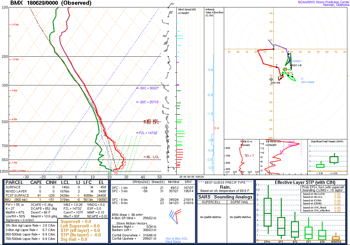
A second derecho approached the region from the north during the late-evening hours. This complex formed earlier in the day across the Midwest, also diving southward thanks to the clockwise flow around the ridge. Thankfully, these storms steadily weakened with southern extent as the atmosphere became more stable through the night.
Some notable observations:
- At 5PM June 28th, Alabama Power reported more than 156,000 customers were without power, with new outages emerging. Many were without power into the following day, as high temperatures peaked in the low-mid 90s
- NWS Huntsville rated an area of wind damage in Madison County at 100 MPH. Just north of Gurley, a 300-yard-wide swath of trees were snapped along a hillside
- Etowah County EMA measured a wind gust of 62 MPH
- Birmingham-Shuttlesworth International airport measured a wind gust of 58 MPH
- Several counties in the state reported widespread wind damage
- One fatality occurred in Clay County when a tree fell onto motorist in motion
|