|
National Weather Service meteorologists surveyed the damage in Bullock County and have determined that the damage was due to an EF-0 tornado. Maximum winds were estimated to be 85 mph.
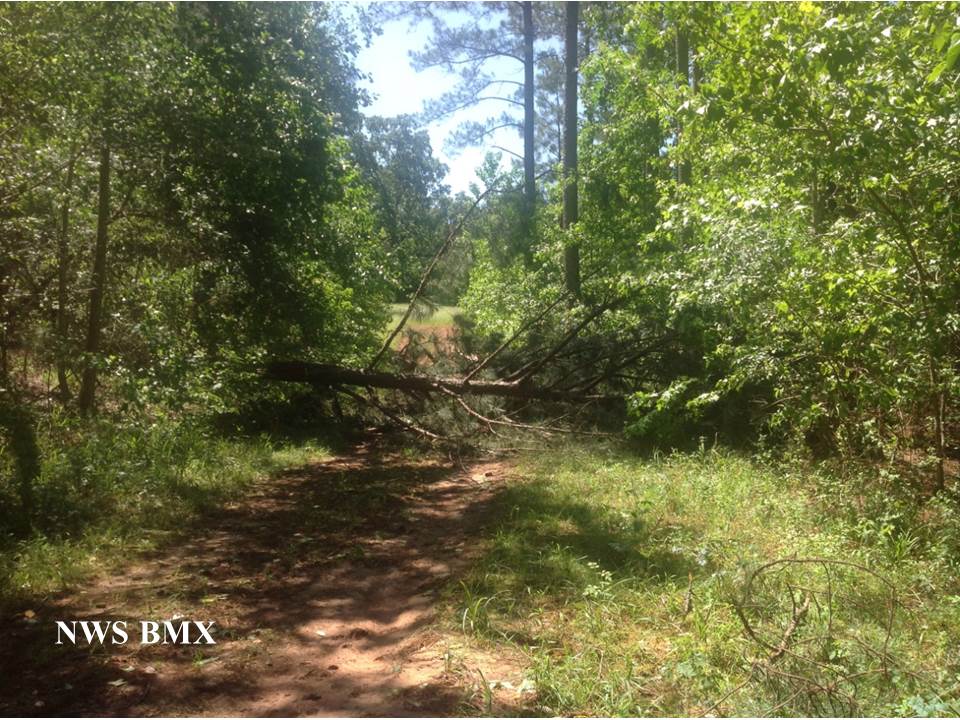
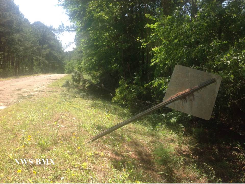
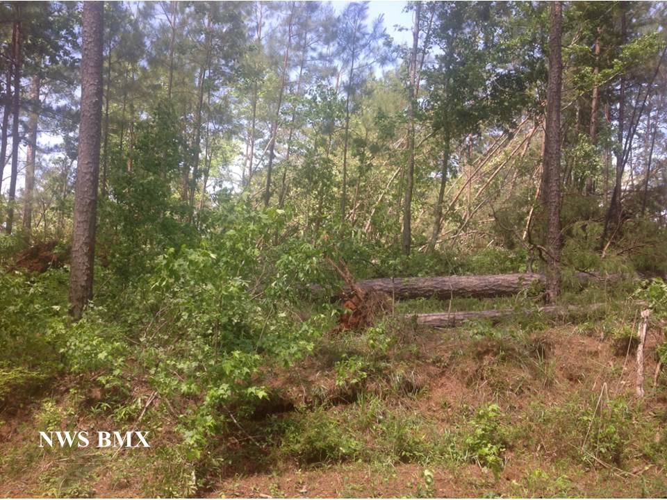
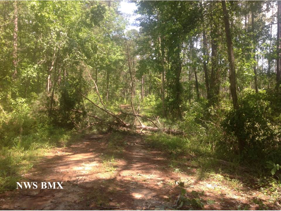
This brief tornado touched down just south of County Road 8, approximately two miles west of the Perote community, where several trees were damaged. The tornado traveled northeast a short distance and crossed an unnamed road where around a dozen trees were snapped and uprooted. Areas to the northeast of this location were inaccessible, but several snapped and uprooted trees were visible approximately 400 yards to the northeast toward Double Creek. Shortly beyond this point is where the tornado weakened rapidly and dissipated based on radar data. No structure damage was observed along the path.
|