|
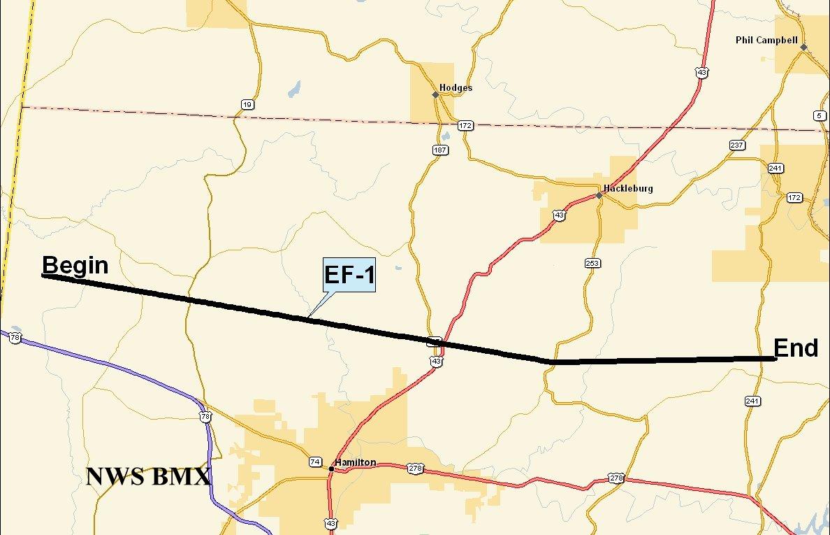
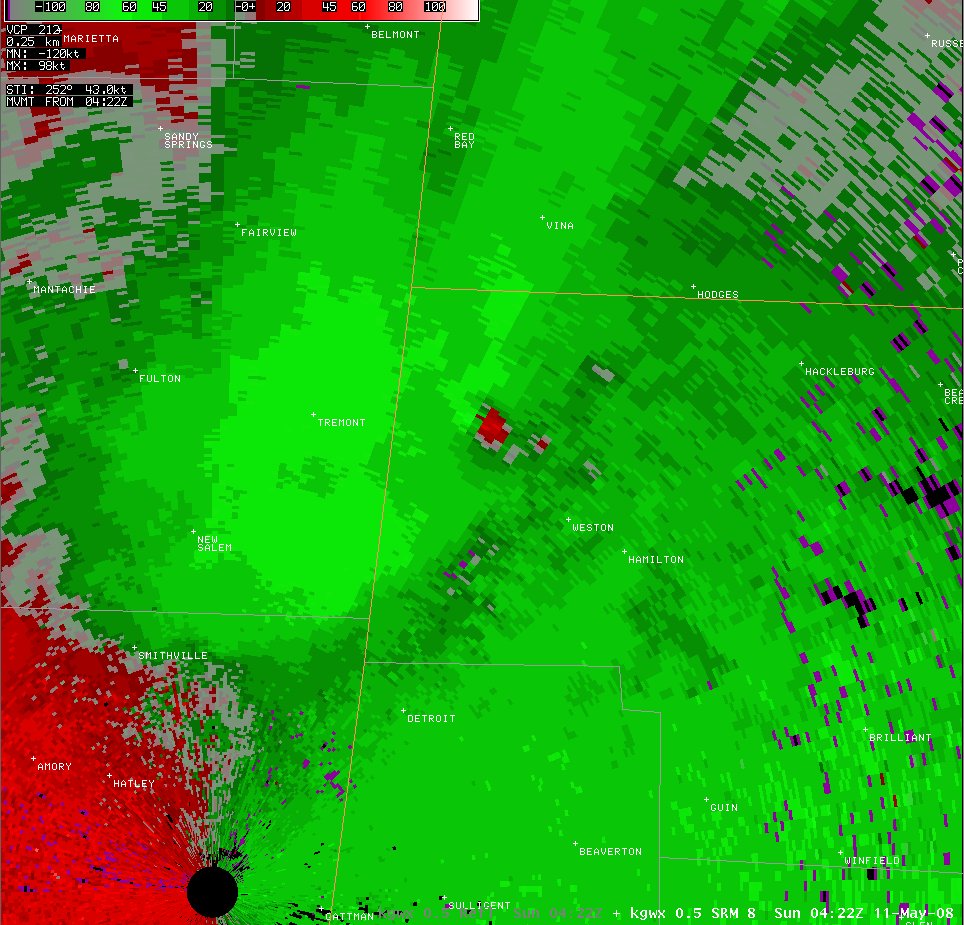
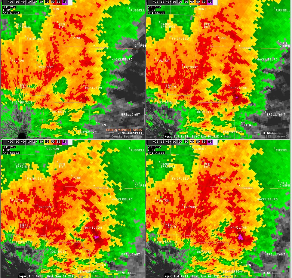
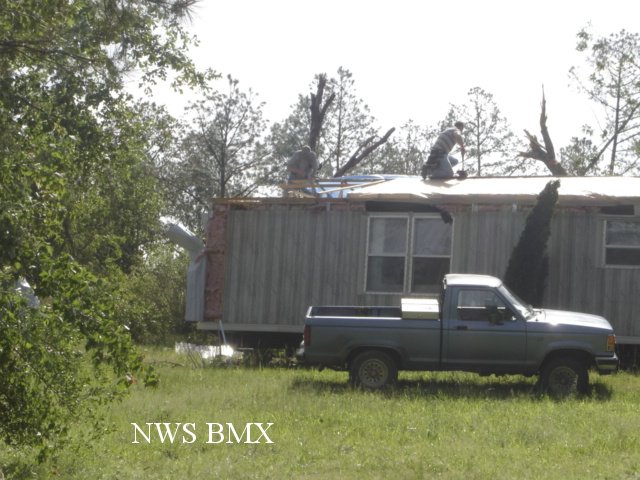
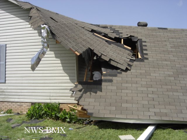
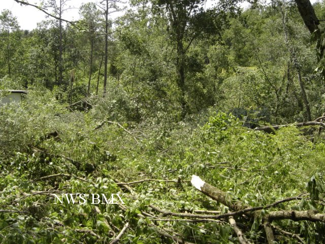
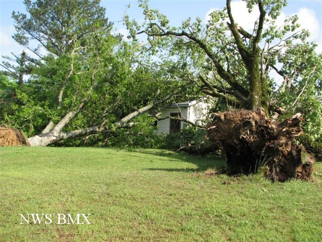
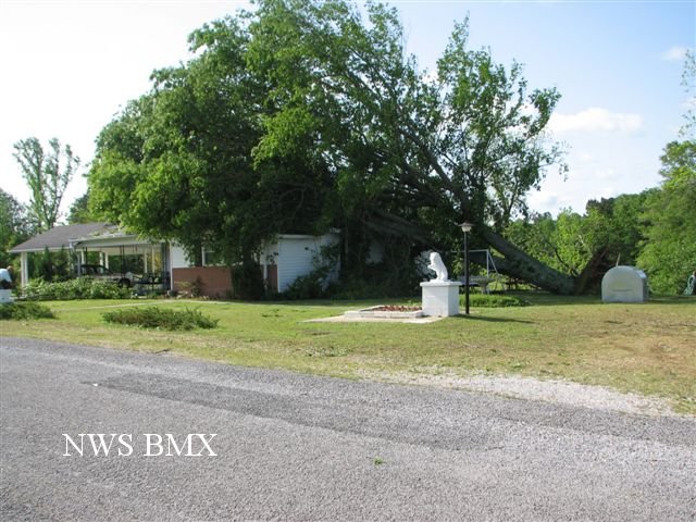
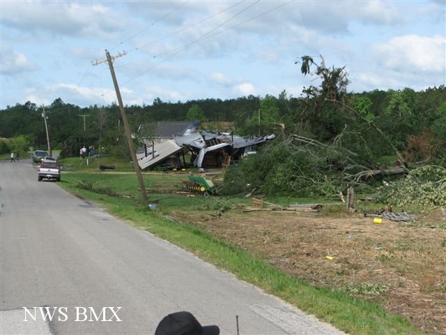
A National Weather Service Damage Assessment Team has surveyed the storm damage in Marion County. It has been determined the damage was the result of a tornado. The tornado has been rated an EF-1 on the Enhanced Fujita Scale. Damage estimates were consistent with winds around 100 mph.
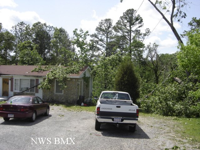
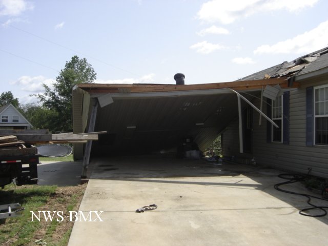
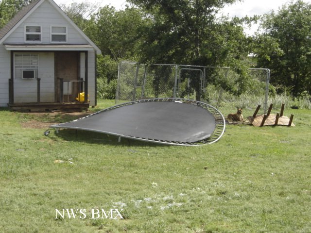
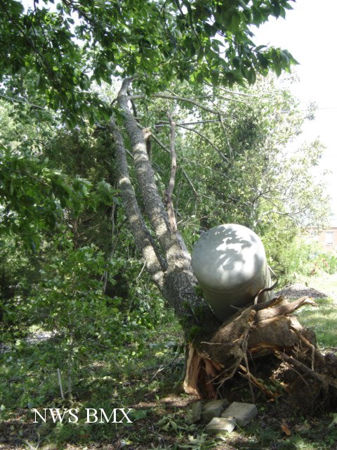
The tornado spun up very quickly approximately 2.5 miles southwest of the Shottsville community along County Road 13, between Reedy Branch Road and County Road 154. The tornado tracked just south of due east for almost the entire length of Marion County with a slight left turn noted near the middel of the path. The tornado crossed County Road 11, State Highway 19, State Highway 187, US Highway 43, State Highway 253 and lifted along County Road 34 just after it crossed State Highway 241. No injuries or fatalities were reported. The tornado remained mostly in a heavily forested area and thousands of trees were either snapped off or uprooted. Several mobile homes and one carport sustained varying degrees of damage along the path.
The tornado was rated an EF-1 with damage consistent with winds around 100 mph. The total tornado damage path was 25.25 miles long and was 400 yards wide at its widest point.
|