Heflin Tornado - May 11th, 2008
|
Rating:
(Click for EF Scale) |
EF-1
|
|
Estimated Maximum Wind:
|
100 mph
|
|
Injuries/Fatalities:
|
None
|
|
Damage Path Length:
|
4.2
|
|
Maximum Path Width:
|
1000 yards
|
|
Approximate Start Point:
|
33.644/-85.638 at 236 AM
|
|
Approximate End Point:
|
33.636/-85.573 at 240 AM
|
|
KML/KMZ File :
|
 |
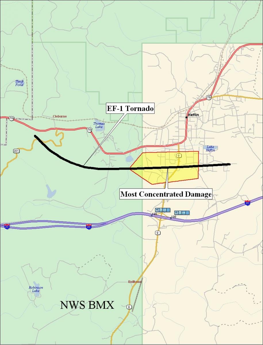
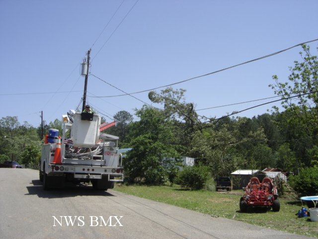
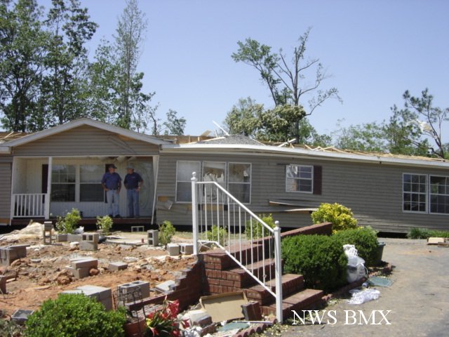
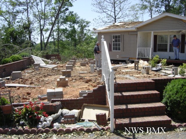
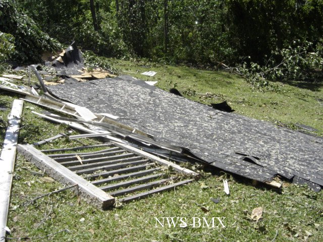
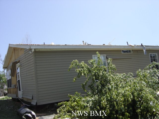
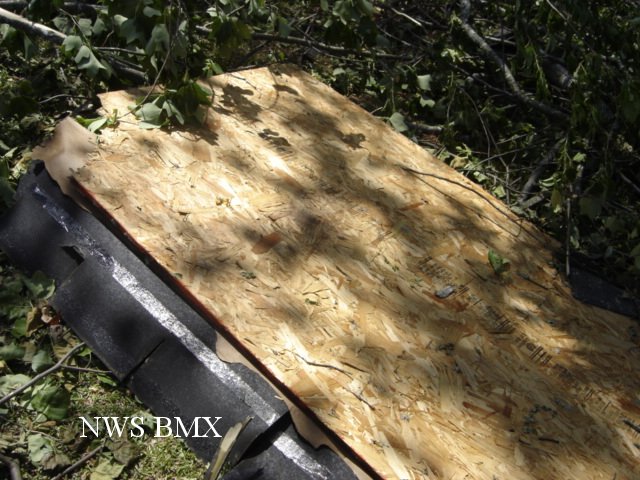
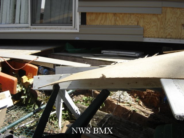
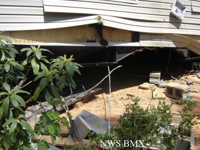
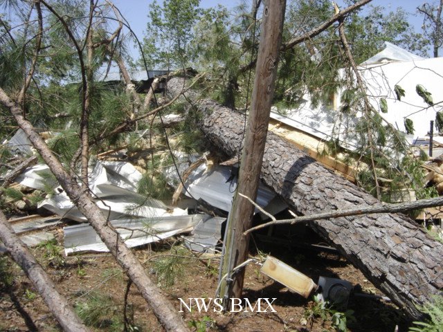
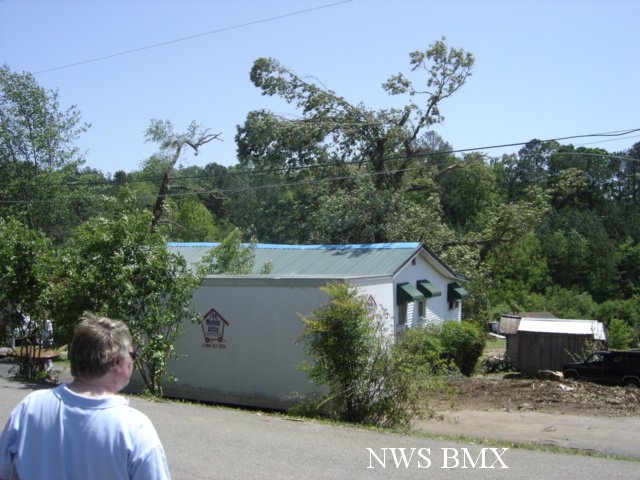
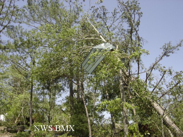
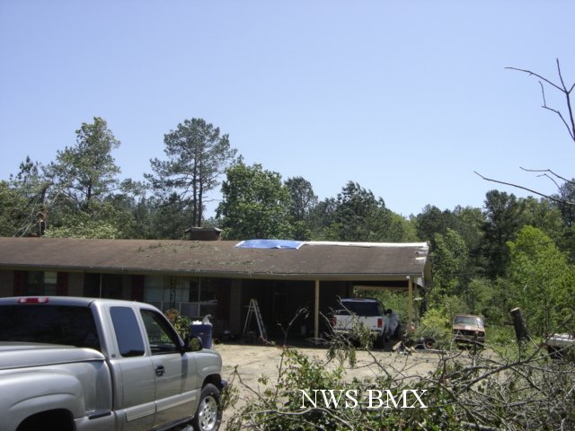
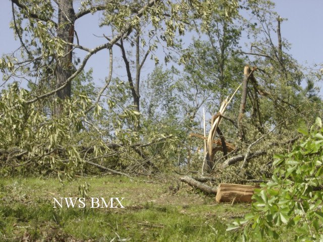
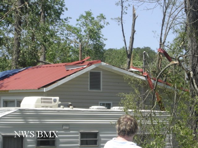
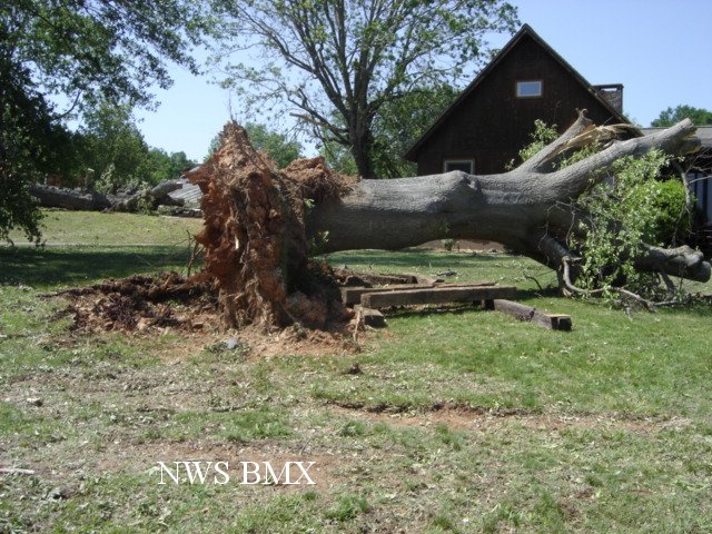
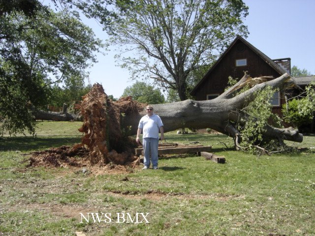
A National Weather Service Damage Assessment Team has surveyed the storm damage in Cleburne County. It has been determined the damage was the result of a tornado. The tornado has been rated an EF-1 on the Enhanced Fujita Scale. Damage estimates were consistent with winds around 100 mph. The tornado damage path was approximately 4.2 miles long and was around 1000 yards wide at its widest point.
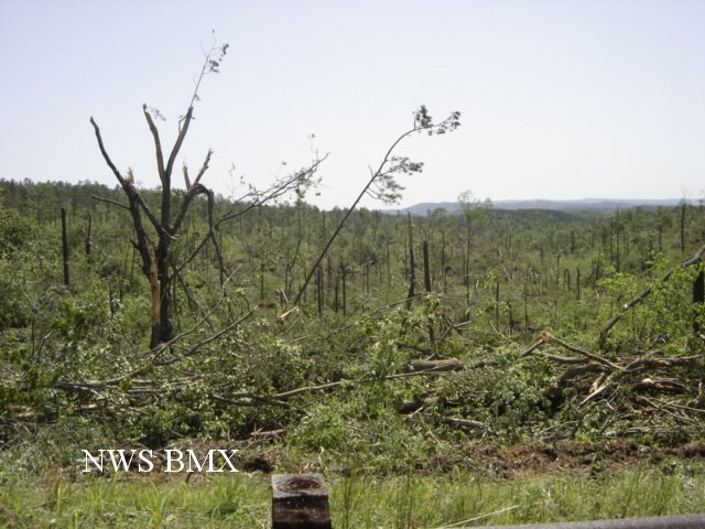
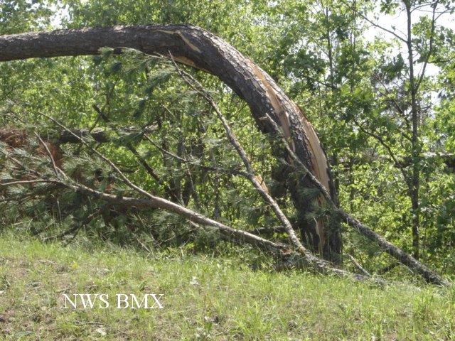
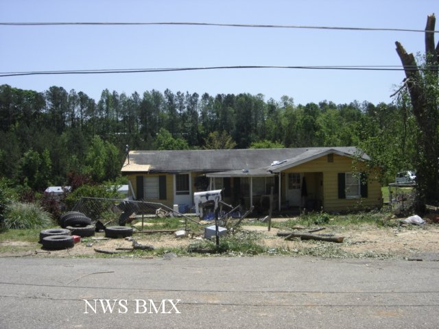
The tornado touched down along the Talladega Scenic Drive just south of US Highway 78. The tornado moved along a slightly left curved path until it crossed County Road 79. The tornado then tracked almost due east and produced its most concentrated damage near State Highway 9. The tornado lifted near the end of Brockford Road in the vicinity of Shadow Lane. Hhundreds of trees were either snapped off or uprooted along the path. Several structures sustained damage and at least 6 of the structures were destroyed. At least 35 homes suffered varying degrees of damage. No injuries were reported.
|
|
||||||||||||||||||||||||||||||