National Weather Service United States Department of Commerce

Sunshine Tornado - Hale County
May 3, 2009


EF-1
Estimated Maximum Wind:
90-95 mph
Injuries/Fatalities:
None
Damage Path Length:
0.05 miles
Maximum Path Width:
50 yards
Approximate Start Point/Time:
32.5614/-87.5510
at 132 pm
Approximate End Point/Time:
32.5614/-87.5510
at 132 pm

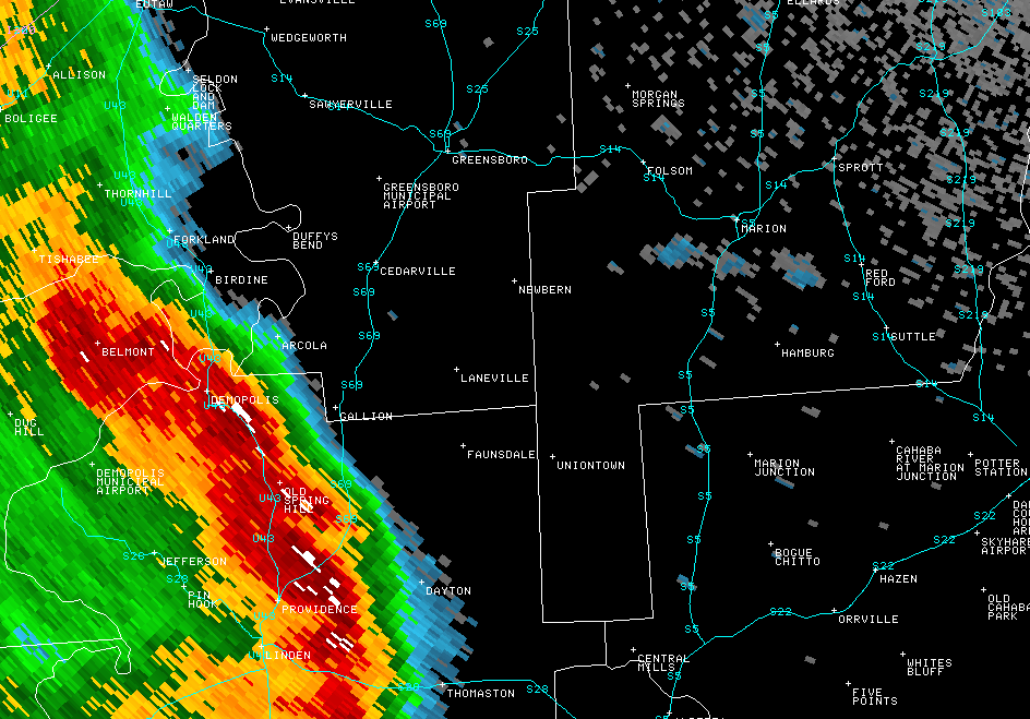
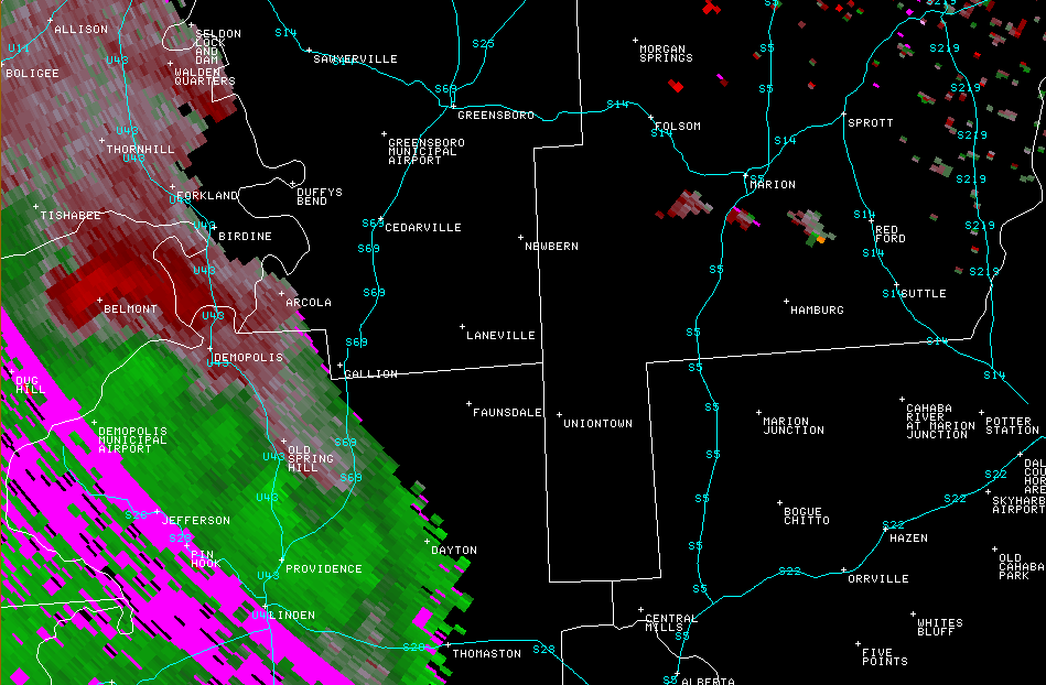
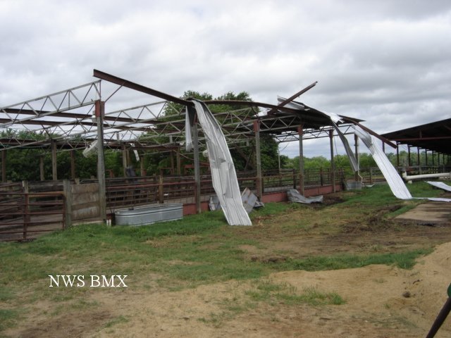
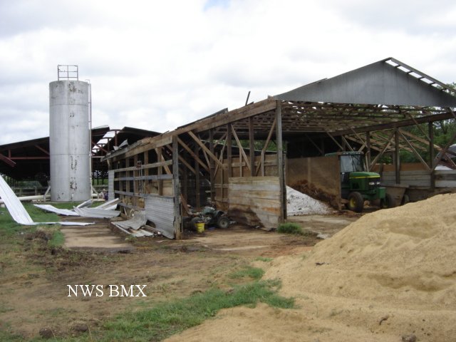
A National Weather Service Damage Assessment Team has surveyed the storm damage in Hale County. It has been determined the damage was the result of a tornado. The tornado has been rated an EF-1 on the Enhanced Fujita Scale. Damage estimates were consistent with winds between 90 and 95 mph.

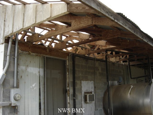
A brief tornado touched down along County Road 10 west of State Highway 61. This location is south southwest of Newbern in the Sunshine Community. The roof was taken off one barn and another structure had partial roof damage. A few trees were blown down along the short path. This tornado formed near the leading edge of the Derecho.


Reflectivity


Velocity
The top image is a KBMX 0.5 degree reflectivity loop. The bottom image is a KBMX 0.5 degree storm relative velocity loop. The green indicates wind blowing toward the radar while red indicates wind blowing away from the radar. A small rotation developed along the apex of the derecho and produced a weak tornado near Newbern.


Damage

Roof Damage

Damage

Roof Damage

Damage

Roof Damage