|
Event Summary
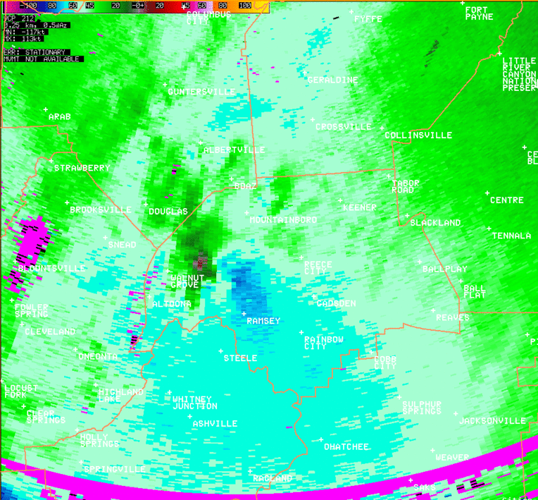
National Weather Service meteorologists surveyed damage in northern Etowah County and have determined that the damage is consistent with an EF-3 tornado with maximum winds estimated to be 155 mph.
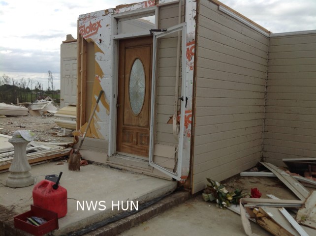
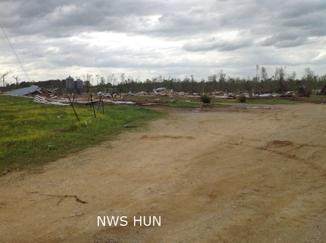
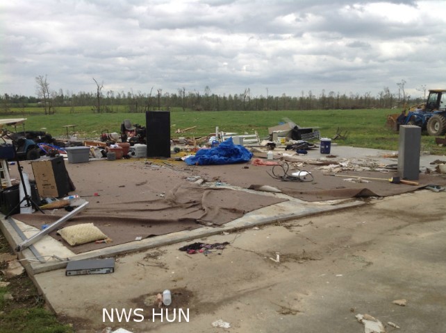
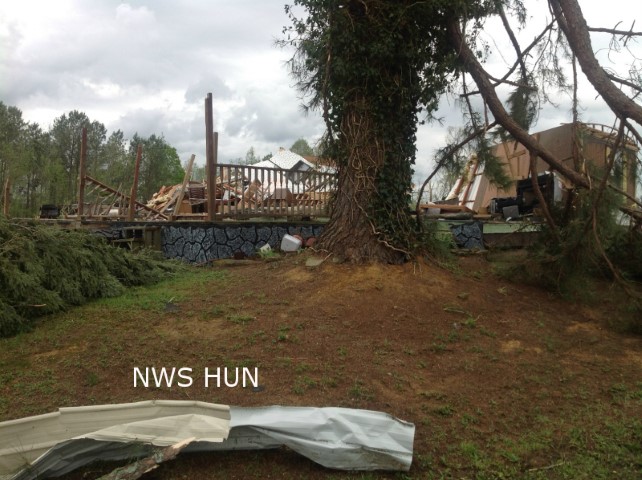
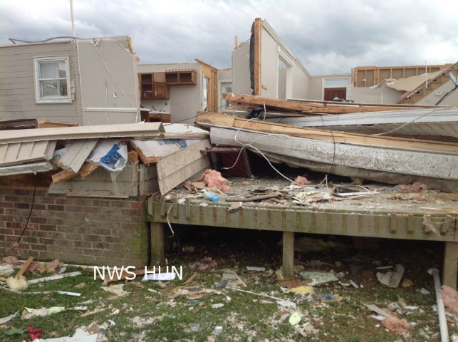
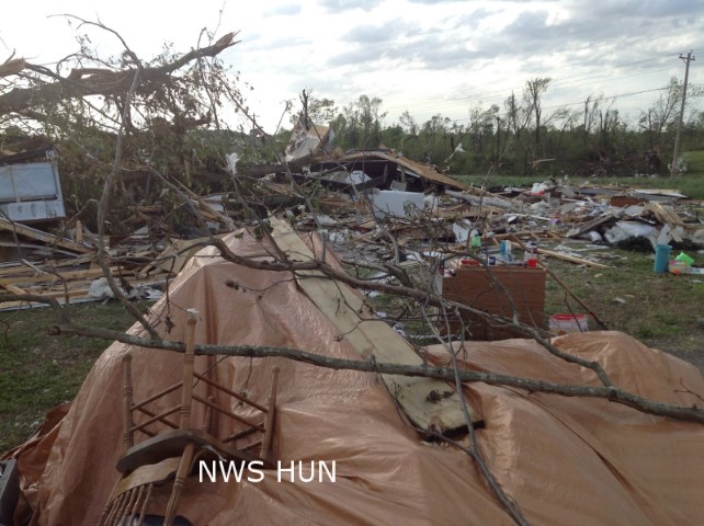
The tornado initially touched down just south of Brow Road, about 4 miles east of Sardis City, snapping and uprooting many trees. The tornado rapidly intensified as it tracked northeast and crossed Liberty Hill and Horton Gap Roads. Severe damage occurred along Liberty Hill Road where a home was lifted off its block foundation and moved about 60-80 feet from its original location. Despite this, most of the exterior walls (and even a portion of the roof) remained intact. Numerous trees around this property were snapped near the base indicating very strong winds. Just west of this location...Several manufactured homes/trailers were completely destroyed. Two other homes sustained significant roof loss and exterior wall damage. Along Horton Gap Road, a two-story home was destroyed with just a few interior walls left standing. Much of the debris was thrown several hundred yards away from its original location and trees were ripped out of the ground and thrown. Just northeast of this location, a large wood-framed chicken house was destroyed. At these locations, the tornado was at its peak intensity with winds estimated between 135 and 155 mph.
On either side of the center line track, damage was seen along Owens Road (west of the track) and Roden Road (east of the track). Structural damage resulting in loss of roof and exterior walls/side panels was seen along with numerous trees snapped or uprooted. The tornado crossed very near where Roden and Owens roads intersect, just south of the Etowah/Dekalb County line.
The tornado maintained EF-2 intensity/ as it crossed into DeKalb County.
A special thanks to the National Weather Service in Huntsville Alabama for completing this survey. NWS HUN Storm Survey for DeKalb County.
|