|
Event Summary
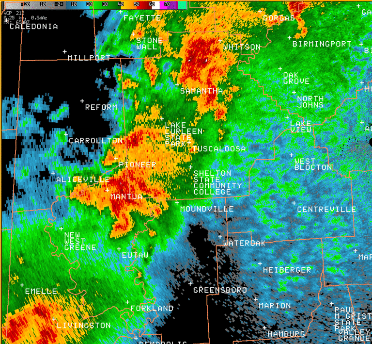
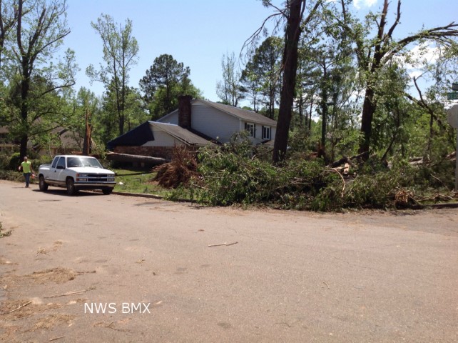
National Weather Service meteorologists surveyed damage in southern Tuscaloosa County and have determined that the damage is consistent with an EF-1 tornado. Winds were estimated to be around 100 mph.
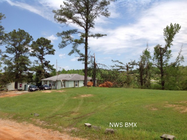
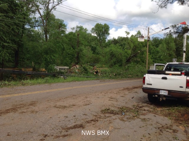
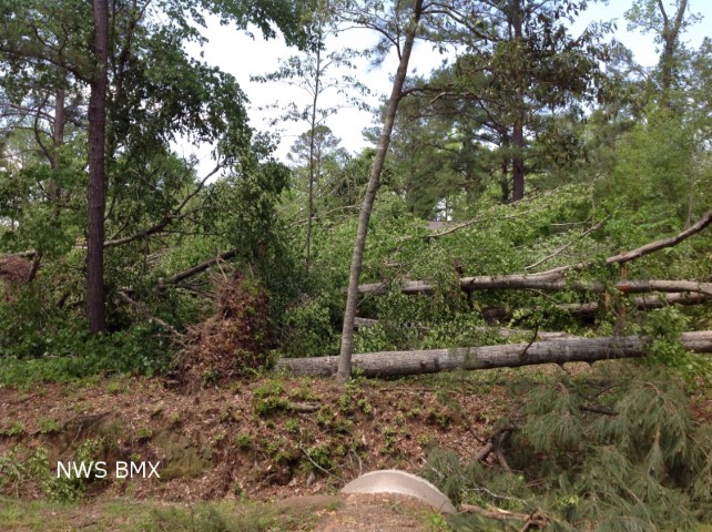
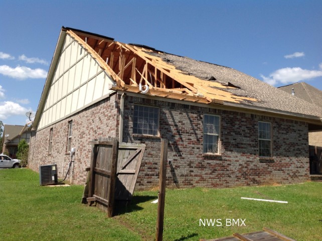
The tornado initially touched down near the intersection of Fosters Loop Road and Cypress Creek Road, where it snapped and uprooted hundreds of trees. It moved northeastward, crossing the Black Warrior River near Maxwell Bend. Several homes were damaged on the east bank of the river in the River Point Subdivision. It continued moving northeast, snapping and uprooting hundreds of trees and causing mainly minor shingle and roof damage to numerous homes as it moved through several subdivisions. As the tornado continued north and eastward, the tornado crossed Old Greensboro Road where it uprooted and snapped the trunks of numerous large, old hardwoods at the Little Sandy Baptist Church. The tornado then continued northeast across Highway 69, where it downed multiple trees on the east side of the highway. The tornado then took on a more easterly movement and produced sporadic tree damage until it reached the Taylorwood Estates subdivision and the Bear Creek trailer park. In this area, the tornado snapped or uprooted hundreds of trees. The tornado then moved east-northeast and caused sporadic tree damage as it crossed Highway 82 and continued across Hargrove Road. Just west of Hargrove Road, the tornado again uprooted and snapped numerous hardwood and softwood trees and caused major damage to about 25 mobile homes as trees fell on the homes. One small porch was ripped from a double wide mobile home. The tornado then moved through the Woodland Forest subdivision where it uprooted and snapped hundreds of more trees. As the tornado approached Buttermilk Road, the southerly winds got under the soffit of a single family home and ripped out a small portion of the roof. The tornado caused minor roof damage and uprooted several trees on the east side Buttermilk Road before it finally lifted.
This tornado was very close to the path of the F4 tornado back in 2000.
|