|
Event Summary
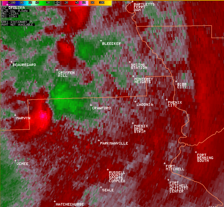
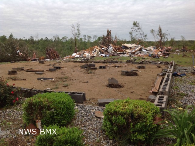
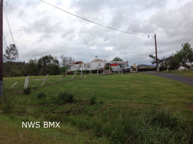
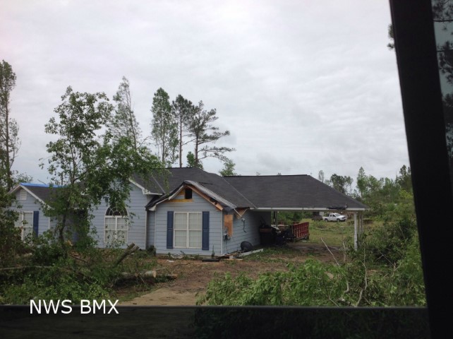
National Weather Service Meteorologists surveyed damage in northern Russell County and southern Lee County and determined that the damage is consistent with an EF-3 tornado, with maximum winds estimated to be around 140 mph.
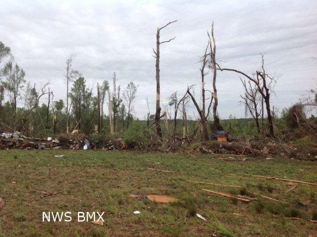
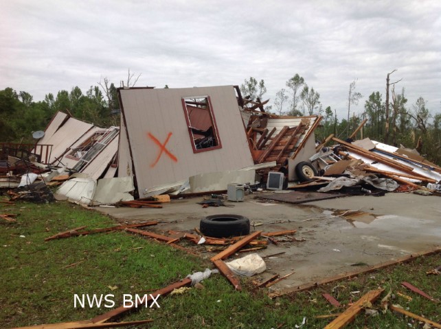
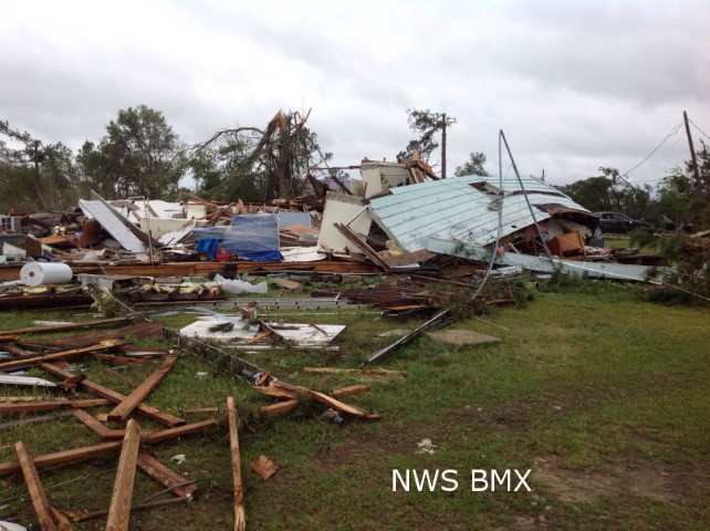
The tornado touched down one-tenth of a mile west of Flourney Road in Russell County, where several trees were snapped. It then traveled to the northeast, where it snapped and uprooted dozens of trees. The tornado crossed into Lee County, approximately three-tenths of a mile west of County Line Road. It continued to the northeast and strengthened to its maximum intensity near AL-169. At this location, approximately 6 manufactured homes were lifted, rolled, and completely destroyed. Additionally, a split level home had its roof and the exterior walls of the top floor removed. Three wood frame homes were also lifted off their foundation and completely destroyed. Several more homes sustained roof damage. Hundreds of trees were snapped off or were uprooted, with several trees debarked. From here, the tornado traveled northeast, where it continuously uprooted trees along its path. As it crossed lee County Road 205, one home suffered extensive roof damage, while approximately 20 additional homes sustained mainly shingle damage. The tornado crossed Lee County Road 179, where a few additional homes suffered minor roof damage as well. As it continue to the northeast, it began to weaken considerably and crossed US-280. A few trees were uprooted at this location. The tornado lifted along Lee County Road 298, approximately four-tenths of a mile from Lee County Road 318.
|