|
Event Summary
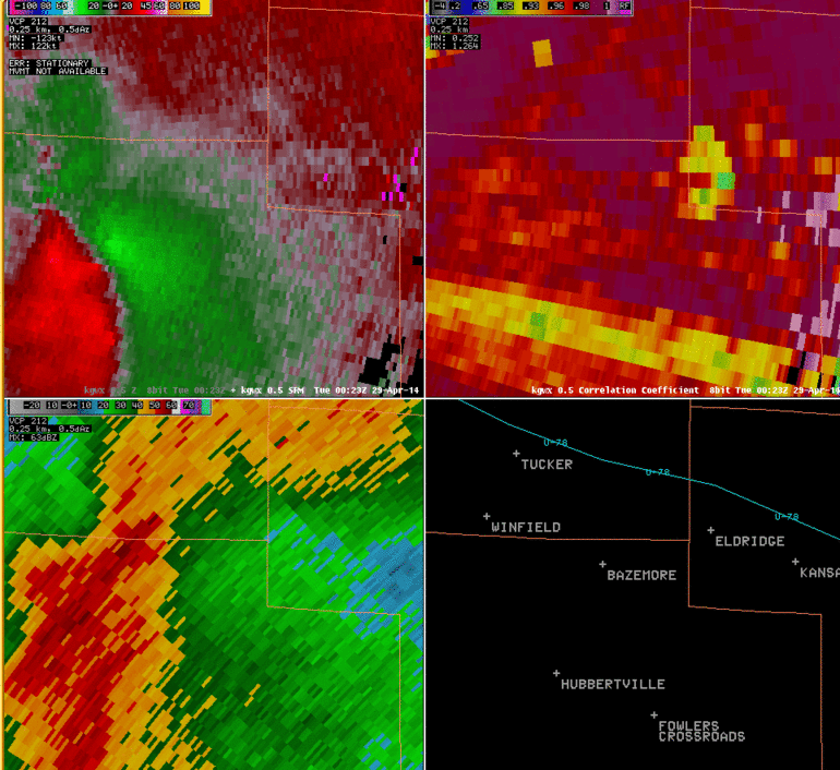
National Weather Service meteorologists surveyed damage in northeastern Fayette County and southeast Marion County and have determined that the damage is consistent with an EF-1 tornado. Maximum winds were estimated to be 100 mph.
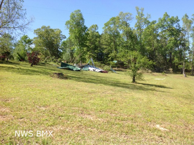
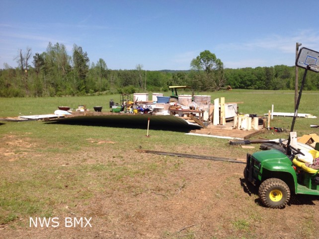
The tornado touched down near the intersection of County Road 73 and County Road 53 where 5 to 10 trees were either snapped or uprooted with some minor roof damage to a home. The tornado then crossed County Road 65 near Eldridge Road where a couple of outbuildings lost portions of their roof. The tornado intensified as it crossed County Road 53 near the intersection of Eldridge Road. Here a couple of outbuildings were near total losses, dozens of trees were blown down, and a residence sustained minor damage. The tornado weakened as it moved to the north and east, and it lifted near the intersection of County Road 30 and Ramsoar Hollow Road.
|